Explore tweets tagged as #AuthaGraph


Discover the AuthaGraph World Map—Japan’s award-winning design that keeps Earth’s true proportions. 🌍✨.Shop now: #AuthaGraph #WorldMap #MadeInJapan #GoodDesignAward #ALEXCIOUS
0
0
0


0
0
0
This is why Authagraph is the goat of map projections


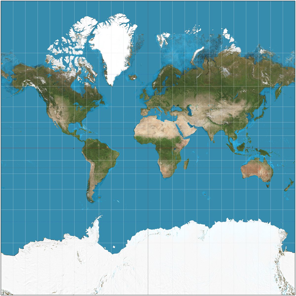
My favorite thing about the Mercator projection is that it turns Antarctica into like a cosmic horror when it's actually smaller than South America

2
1
42

Nice map. Authagraph projection, said to be the most to scale map. Gives one a new perspective

25
38
404

@OrwellNGoode That is the Robinson Projection map (I love it its my last name.) But the most accurate world map is the AuthaGraph Projection map and it looks like this.

36
62
2K

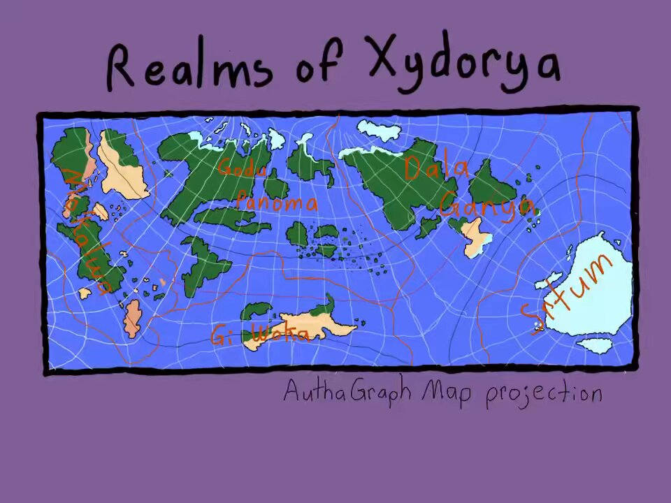
Today’s nerd activity: another fantasy map but this time in the AuthaGraph Projection


1
0
0


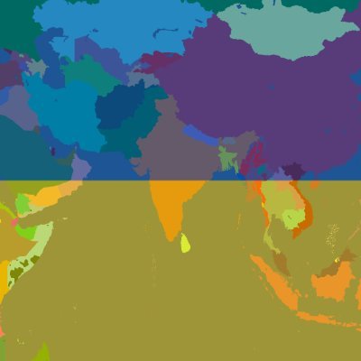
【アイテム紹介】「世界地図図法 AuthaGraph世界地図/オーサグラフ・ワールドマップ」.カラーで印刷された世界地図のまわりにも隙間なく世界地図を並べ、右端に描かれた南極大陸が南米だけでなくアフリカやオーストラリアとも近いことが理解できます。.#グッドデザインストア

0
0
0

Authagraph is an approximately equal-area world map projection invented by Japanese architect Hajime Narukawa .It substantially preserves sizes & shapes of all continents & oceans while it reduces distortions of their shapes

4
12
26
@tomaspueyo @neilrkaye Strangely I can't find "the most accurate land mass marcator rotation". There are lots of projections. The Authagraph projection is quite neat.

2
3
27

Daily reminder: the map is not the territory. (AuthaGraph v Mercator (small))

0
0
0
@Locati0ns AuthaGraph. The AuthaGraphy projection was created by Japanese architect Hajime Narukawa in 1999. It is considered the most accurate projection in the mapping world for its way of showing relative areas of landmasses and oceans with very little distortion of shapes.

1
26
131

Has anyone attempted an AuthaGraph projection in #rstats #geospatial? I found @hrbrmstr's {imago} package but can't seem to reproject my raster correctly (WGS 84 to WGS 84 doesn't work). Can I do it in #qgis?

1
8
19

🌍 Mapa AuthaGraph zmienia perspektywę! Stworzona przez Hajime Narukawę, oddaje rzeczywiste proporcje lądów i oceanów, minimalizując zniekształcenia. Odkryj świat na nowo! 😍 Więcej na naszym FB. Źródło: #AuthaGraph #Kartografia

0
0
0

An architect and artist Hajime Narukawa developed AuthaGraph World Map, a groundbreaking projection that preserves the true proportions of continents and oceans. Mercator is overtly Euro-centric.

1
4
11

The globe you thought you knew. Authagraph projection map does a much better job at preserving the relative size and area of land and water masses, while reducing shape distortion

0
0
0

@arieftiroo The AuthaGraph World Map Projection by Hajime Narukawa is the winner of the top prize at this year's Good Design Awards (2016/2017, lupa)

3
0
2