Explore tweets tagged as #geocompx


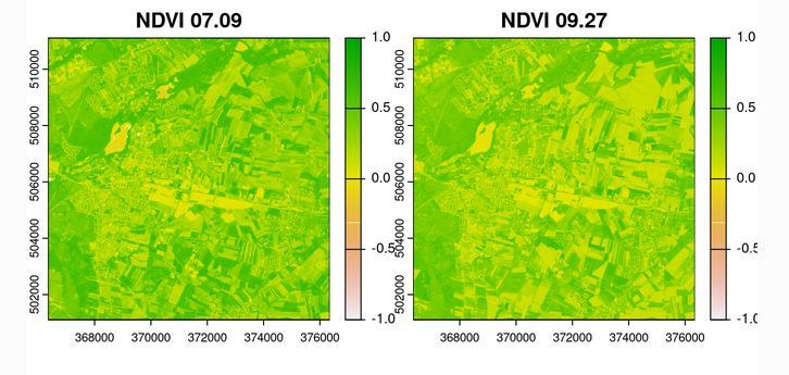
There is a new blog post at #geocompx:. "An overview of the rsi R package for retrieving satellite imagery and calculating spectral indices" by Mateusz Rydzik. Read it at #rstats #remotesensing #stac


0
78
317

Spatial machine learning with R: caret, tidymodels, and mlr3 – geocompx
2
22
102
Specialized R packages for spatial machine learning: An introduction to RandomForestsGLS, spatialRF, and meteo – geocompx
0
5
16
📢 Public service announcement for #rstats users and learners working with geographic data: Geocomputation with R's Binder link is working again 🎉🎉You can give it a spin at and then clicking on the "Binder" link. #DataScience #geocompx

1
65
259


✨ Recently, I gave a talk exploring the origins, development, and future directions of the geocompx open-source geospatial initiative.✨ . Slides: #geocompx #gischat #rspatial #geopython


0
14
82

I've got this working before and it's basic stuff, but definitely feeling a 'wow moment' getting cross-language geo equivalent of "Hello world" working with #RStats and #Python locally AND remotely with GitHub Actions + CD. Next-up #julialang? Slides: incoming! #geocompx #sdsl

0
5
36
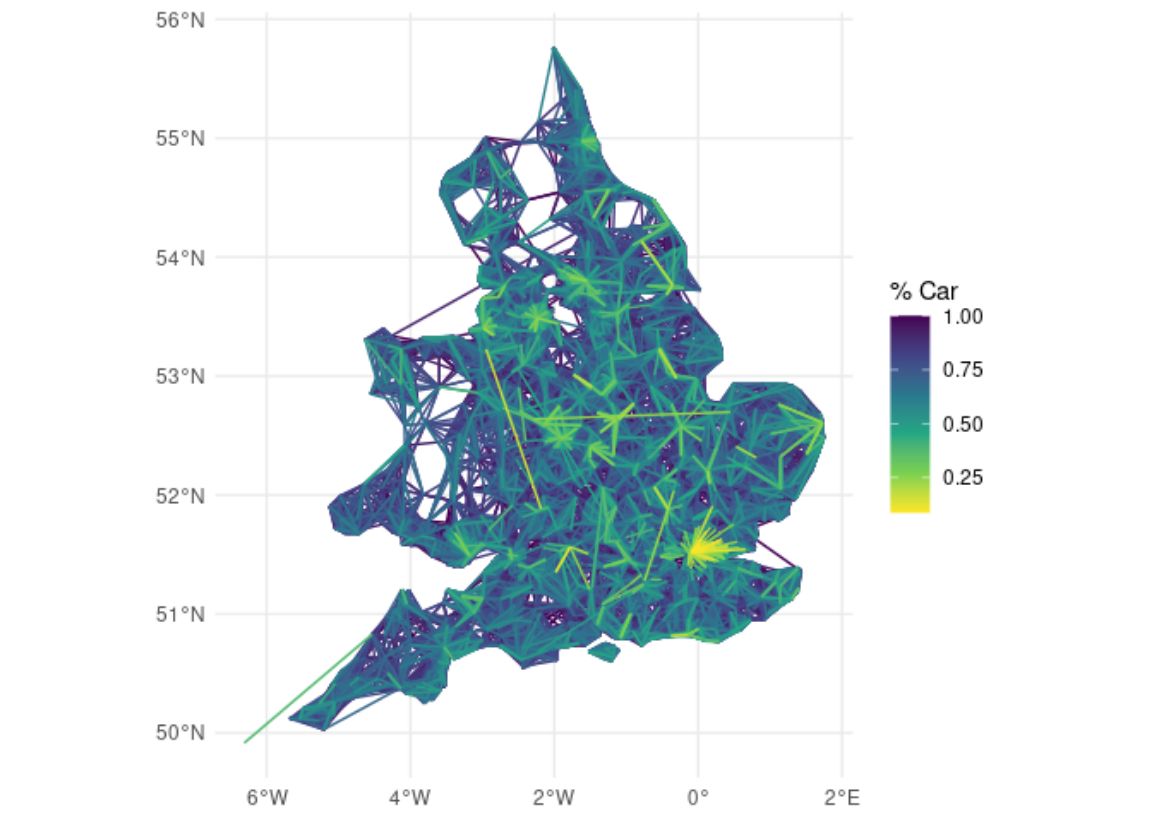
Unlock hidden transport insights with origin-destination data + data science skills ✨ Search for Transport Data Science at Leeds for more info on our modules + upcoming CPD courses #transport #datascience #geocompx
0
11
85


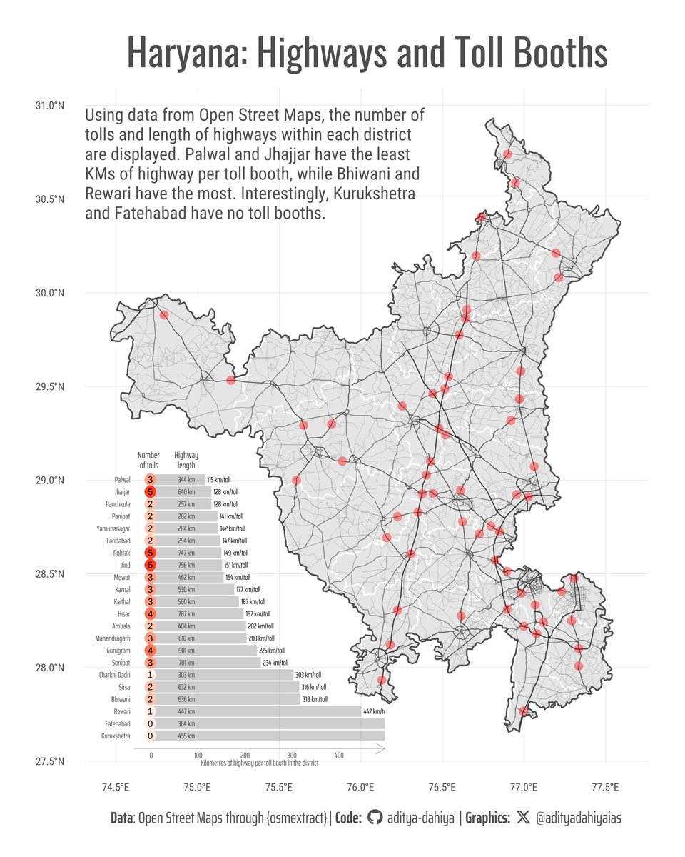
#DataViz How to use geo-computation with #Rstats, {sf} & {osmextract} to compute highway lengths and toll booths within geographic subdivisions. Data: @openstreetmap .Full Code 🔗Inspiration: #geocompx by @robinlovelace @jakub_nowosad
0
22
103

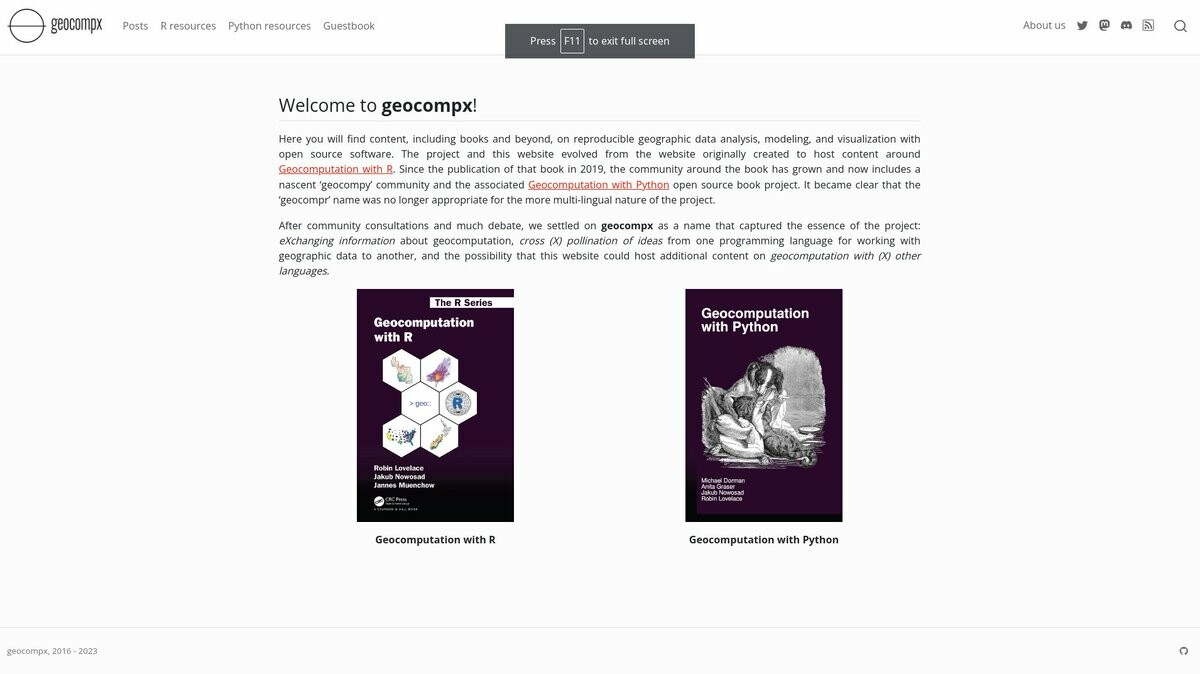

If you use geo data but not yet seen our #geocompx resources, now's the time to check them out!.Project on fire + community growing 🔥🌱🚀

0
24
118
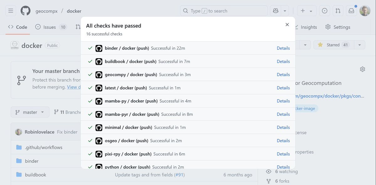
Happy to say that FINALLY all the docker images in the geocompx organisation are passing, bringing you up-to-date open source software for reproducible geo research and teaching in a box 🎁Take a look at here: Suggestions welcome, have fun with these 🚀


1
3
48
#DataViz🚇 NYC’s Subway = Unmatched Coverage!.🔹85% of NYC’s population lives within 1 km of a subway stop. 🔹95% lives within 2 km!.Data: @ciesin @openstreetmap .Full code🔗 Inspiration #geocompx by @robinlovelace & @jakub_nowosad using #rstats #ggplot2

2
10
42

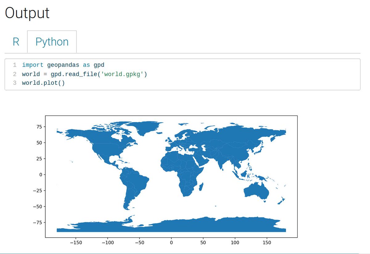
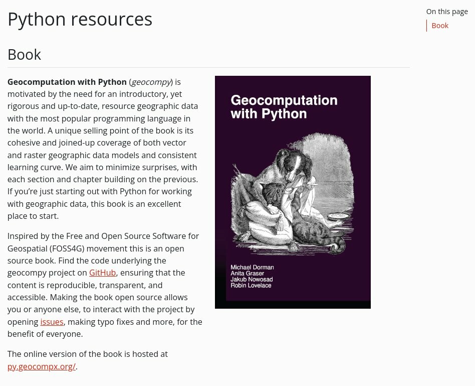
This a valuable book on geocomputation with Python. Recommended for anyone to learn geospatial data processing and analysis in Python. It's open source and free. #Python #geospatial .

2
49
168
#dataviz demonstrating the power of geocomputation with #rstats and {sf}. Calculating distances from nearest health-care facilities in Haryana, India. Full Code 🔗 Credits #ggplot2 #sf #maps, by @robinlovelace @jakub_nowosad

1
24
107