
geodose
@ideageo
Followers
455
Following
477
Media
30
Statuses
194
GIS Specialist, who loves coding and blogging
Joined November 2012
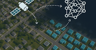
Tutorial on how to automatically detect building footprints using GeoAI. Installation on your machine, Download model, Running building detection, Generalizing building geometries, Exporting results to vector format. #GeoAI.
www.geodose.com
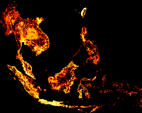
Buildings are one of the most important types of geospatial data, useful for a wide range of applications such as urban analysis, city ...
0
0
5
RT @berttemme: Geodeep: AI object detection and semantic segmentation in geospatial rasters. 🚀
github.com
Free and open source library for AI object detection and semantic segmentation in geospatial rasters. 🚀 - uav4geo/GeoDeep
0
61
0
RT @wanjohikibui: GIS experts are not your clients. Stop marketing yourself as a GIS expert - Start marketing solutions. Take 1. - Don't sa….
0
66
0
RT @swapnakpanda: 9 FREE Books from MIT for Absolute Beginners. - Artificial Intelligence (AI). - Machine Learning (ML)….
0
627
0
RT @sidneysgoveia: QGIS Processing Toolbox tool for Variogram Modeling and Ordinary Kriging using GSTools.This tool automates variogram mod….
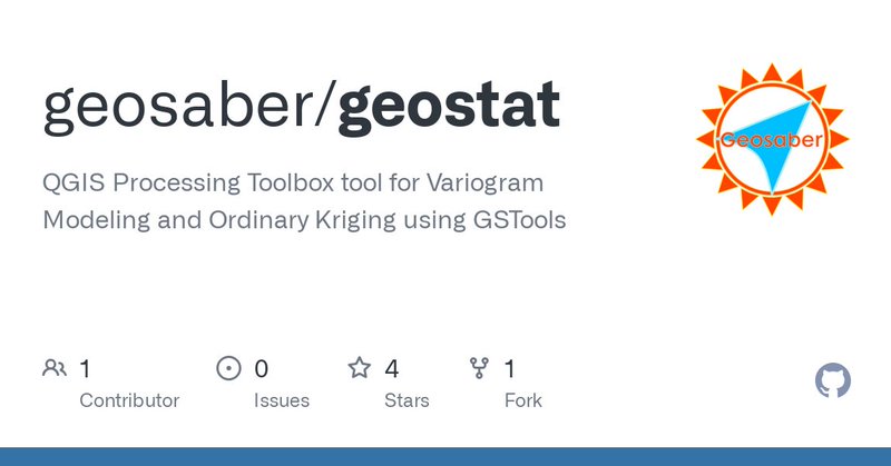
github.com
QGIS Processing Toolbox tool for Variogram Modeling and Ordinary Kriging using GSTools - geosaber/geostat
0
36
0
RT @cpgis_media: Junior lecturer position in geo-information science or remote sensing available at the Laboratory of Geo-Information Scien….
0
5
0
This a valuable book on geocomputation with Python. Recommended for anyone to learn geospatial data processing and analysis in Python. It's open source and free. #Python #geospatial .

2
49
168
If you find yourself facing challenges in viewing large geospatial data, you're not alone. This post is tailored to address such situations. By the end of this tutorial, you should be able to visualize your own large-scale #geospatial data. #Python .
www.geodose.com
In the previous post I discussed how to download bulding footprints data from Google and Microsoft that cover the whole bui...
0
12
33
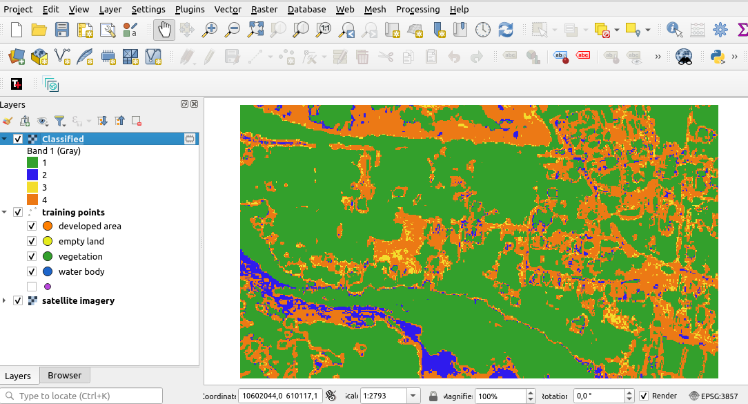
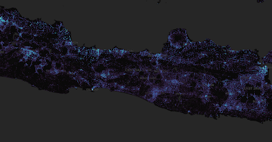
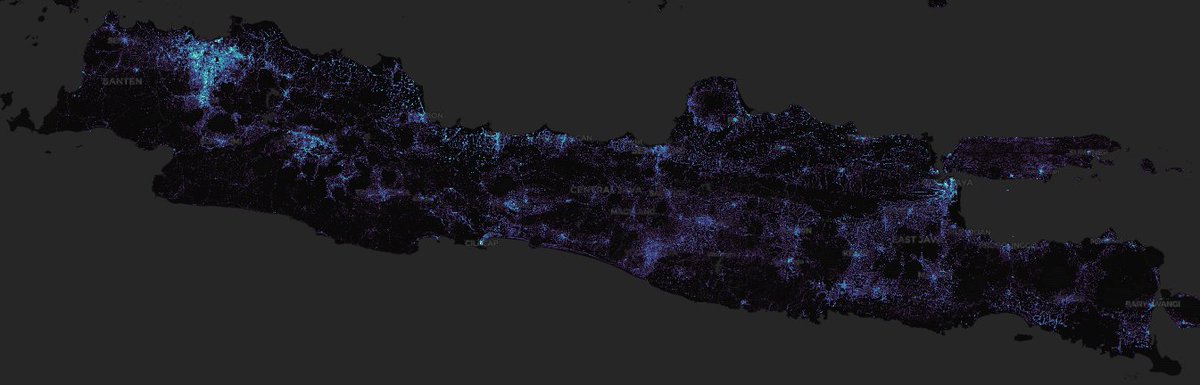
Building Density. Java-Indonesia. Processed from Microsoft footprints data in Python and visualize with QGIS #Python #QGIS #DataScience
0
0
3
How to implement STAC in #Python? In this tutorial we'll get through it. This post will explain step by step approach how to use #STAC in Python from searching data, display it and do analysis for the data.
www.geodose.com
Hi all! In the previous post I had discussed about how to search satellite imagery and other spatio temporal data using STAC in QGIS . H...
0
1
4
How To Search Satellite Imagery and Other Spatio Temporal Data in QGIS.#QGIS.

www.geodose.com
Long time ago I wrote a post about adding satellite imagery in QGIS . What I discussed in that post actually wa...
0
0
5
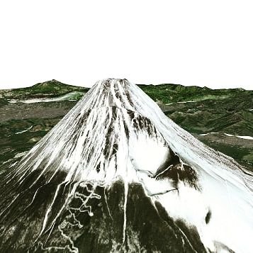
Tutorial on how to visualize GPS data in #QGIS. Learn how to add GPS data into QGIS map, export a #GPS data item into a geospatial data format, animate the tracking data and visualize the elevation profile of tracking data.

www.geodose.com
The Global Positioning System ( GPS ) offers a highly convenient method for spatial da...
0
1
5
RT @kylebarron2: Introducing lonboard: the fastest way to visualize large geospatial vector data from Python. Here's 3 million points rend….
0
115
0
Tutorial on how to get and plot weather data at any city in the world with #Python using Open Meteo weather data API. You can change or add any city you like in the code. @open_meteo.
1
3
10