
Conor Cahalane
@con20or
Followers
1K
Following
9K
Media
288
Statuses
5K
Lecturer/Researcher/Chartered Surveyor using #Remotesensing #RPAS #GIS for #mapping & #outreach @maynoothgeog. Like #Geography #Science #History. Views my own.
Ireland
Joined December 2012
RT @ObourIke: Just wrapped up my talk on improving #sentinel-1 data for a more accurate and reliable mining #monitoring in the topics @ESA….
0
2
0
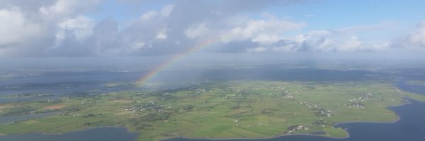
Something ive indirectly been working with for years for near-shore bathymetry, but never the terrestrial version or aplications so looking forward to this workshop very much @Maynoothgeog.

📢 Join us tomorrow for the @EuroSDR online workshop on #multispectral #LiDAR!.We'll explore this #modern #technology for:.#Precision_Forestry 🌳🌲.#3D #Urban #Mapping 🏘️. …and much more!.📄 Missed the details? @3DOMFBK, @fgi_nls, @photo_TUW.
0
1
4
RT @EuroSDR: As @EuroSDR Delegates begin the trip home, we would like to thank our hosts @kartverket for an excellent Board of Delegates #B….
0
3
0

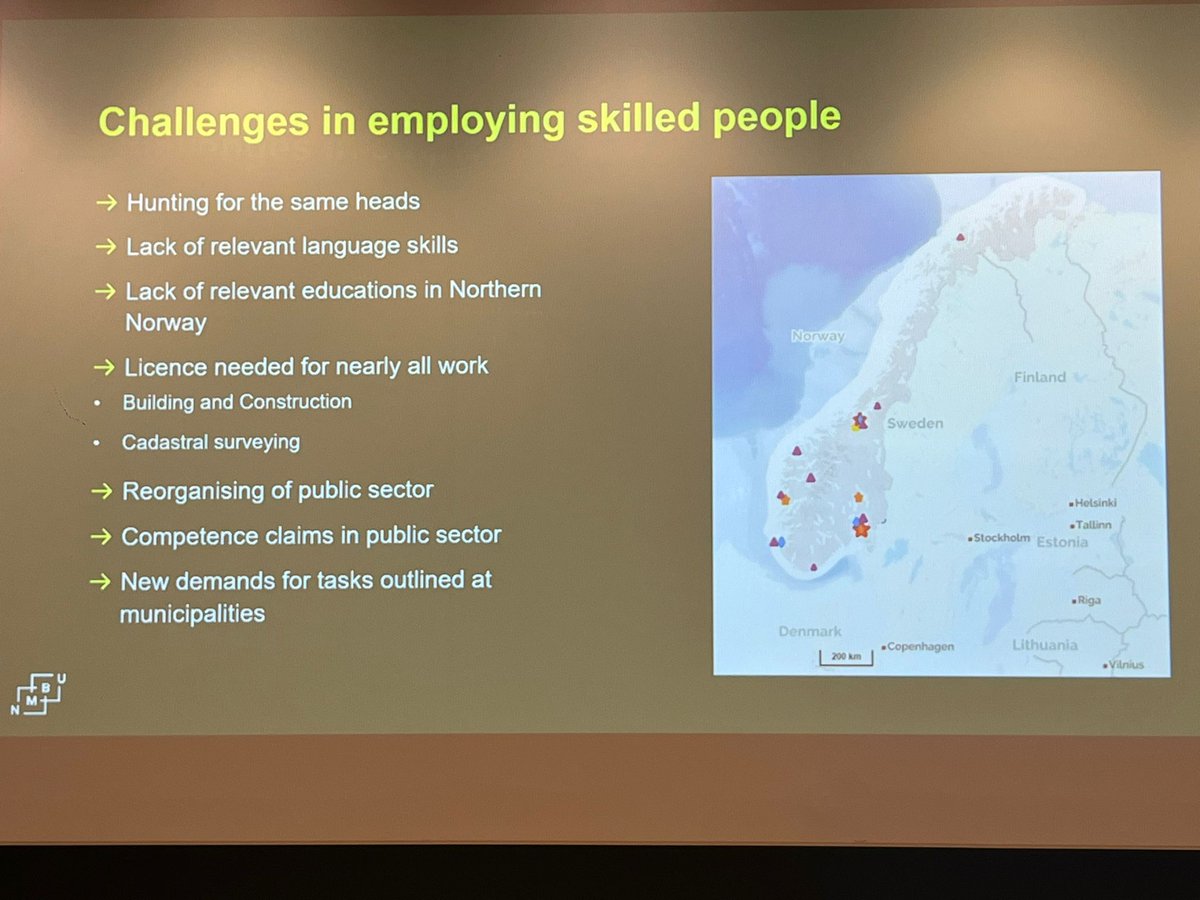
Major risk to the sector - and such an attractive ), visually easy to matket career with great career prospects, huge demand for graduates from industry every year. How to fix this??.

There is a deficit in the number of graduated candidates at all levels. This is the same across Europe as highlighted at the @euroSDR workshop held in Ljubljana in Nov 2024, this leads to significant challenges in terms of recruitment in the sector.
0
1
1


RT @VanessaBBastos: Have you ever found out after your GPS tracking study that someone had already collected similar data? Or struggled to….
0
2
0
RT @3DOMFBK: @EuroSDR workshop on Multispectral #LiDAR.June 23rd, 2025 - online.@geodepartment @fgi_nls @FBK_resear….
0
3
0
Great talk @jackffrench - super informative learning about the commercial side, many of the products and services offered by Esri Ireland - thanks from @Maynoothgeog and the Msc GIS/RS cohort.
0
1
6
RT @osni_maps: We are currently recruiting for Mapping and Charting Officers (MCO) to join the team. Find out more about the work of OSNI….
0
5
0
RT @nozdrenkov: We’re open-sourcing 352GB of Coral Reef pics (13 sites, 90k pics) from Indonesia under CC-BY-4.0 🌏🪸 3D photogrammetry data….
0
88
0
RT @ObourIke: I'm pleased to share our new paper on #monitoring illegal mining using #sentinel-1 data in the wet tropics as part of my @Iri….
0
3
0
#gy642 new paper from @ObourIke @Maynoothgeog @Researchirel on #Sentinel1 #copernicus for monitoring illegal mining from space
1
1
0