Allan Huffman
@RaleighWx
Followers
17K
Following
2K
Media
8K
Statuses
27K
Christ follower 1st. Met with 20+ years of experience forecasting and modeling BS/MS from NC State Husband to Jennifer Father of 5. https://t.co/aMKO4rG3EI
Raleigh, NC
Joined October 2008
So I have launched my patreon page. It will have discussion/videos most days, not every day. Particularly during winter storms/tropical systems. Hopefully it is enjoyable and affordable. Thanks!
patreon.com
creating weather discussions/content
13
6
99
RT @NHC_Atlantic: Aug 24 4:20PM EDT: Update on #99L @53rdWRS data indicate that the system located near the Windward Islands does not have….
0
132
0
Only once has August had 0 90 degree days at the Raleigh reporting station. 1969. 3 years had 1, 1887, 1889, and 1971. We are on pace to have the coolest August at KRDU since 1996.
The current forecast does not have a 90° day for the rest of August. Both @flyfrompti & @RDUAirport.have only recorded 1 this month and are both in the top 3 ranking. @NWSRaleigh. @NCSCO. @TimBuckleyWX. @WeatherWes. @WRAL_Michaels. @katcampbellwx. @wralweather. @NOAANCEI
6
4
26
RT @BenNollWeather: Sinking air will overtake the Atlantic during late August, pressing pause on hurricane risks. By early-to-mid Septembe….
0
46
0
RT @NHC_Surge: 8/20 11am EDT: Storm surge flooding, accompanied by significant wave impacts, is possible from Hurricane #Erin along the Out….
0
64
0
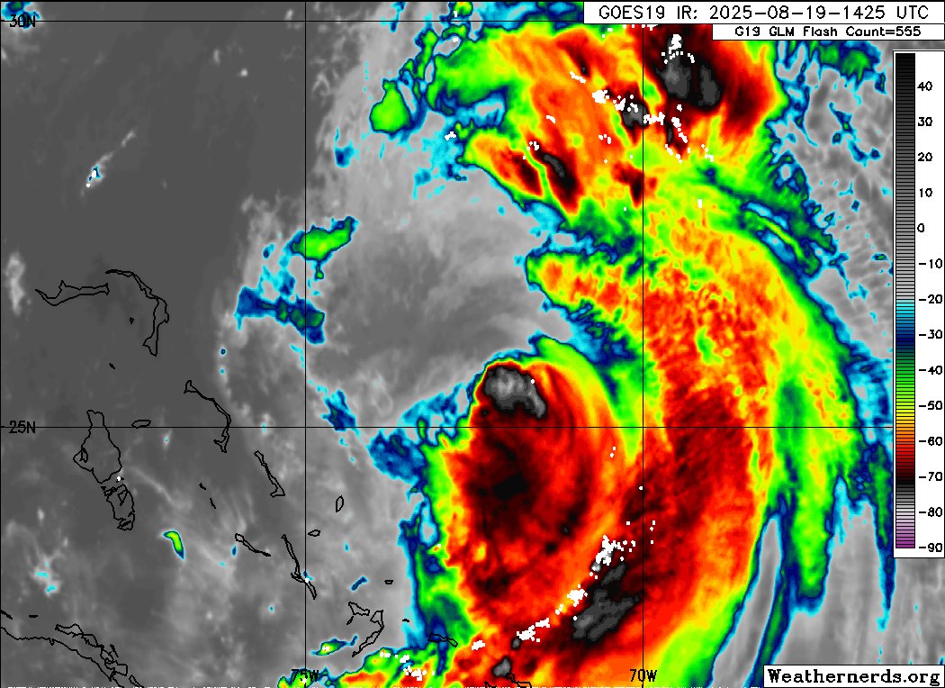
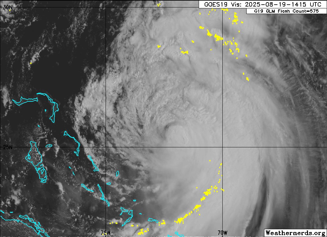
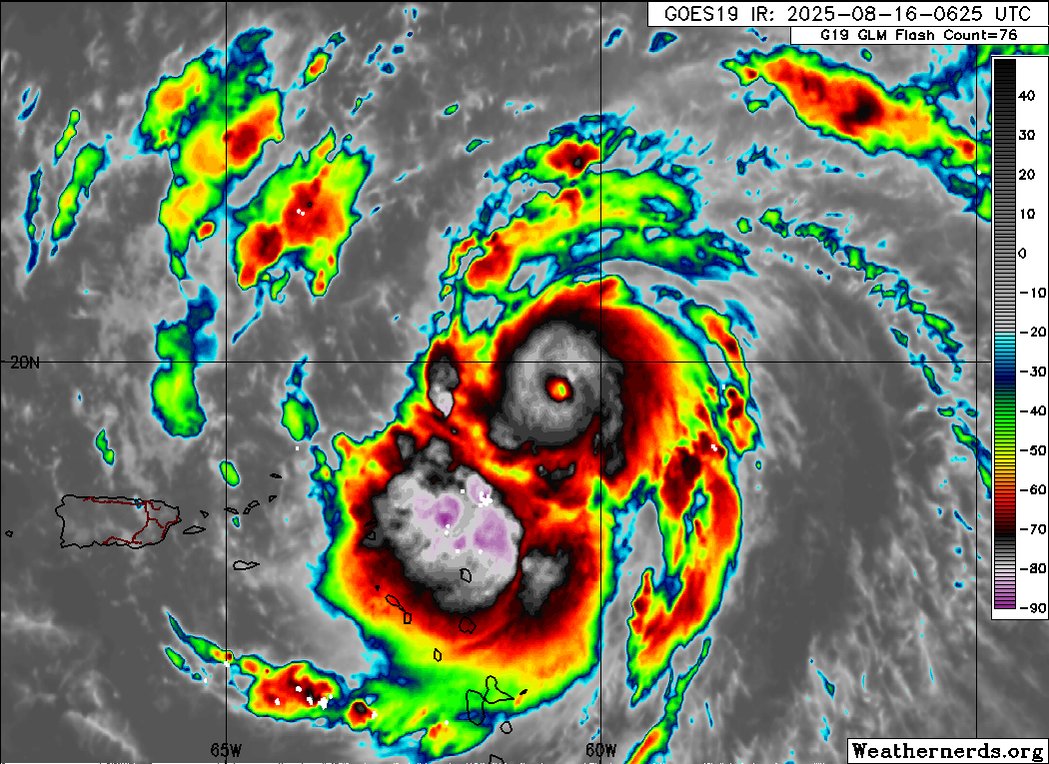
#Erin appears to be strengthening again and has been moving N per the last recon obs. Winds are strong far from the center on the eastern side, we will have to see if they can bulk up on the western side as it moves east of the Outer Banks, will also have to see if this it jogs
1
6
51
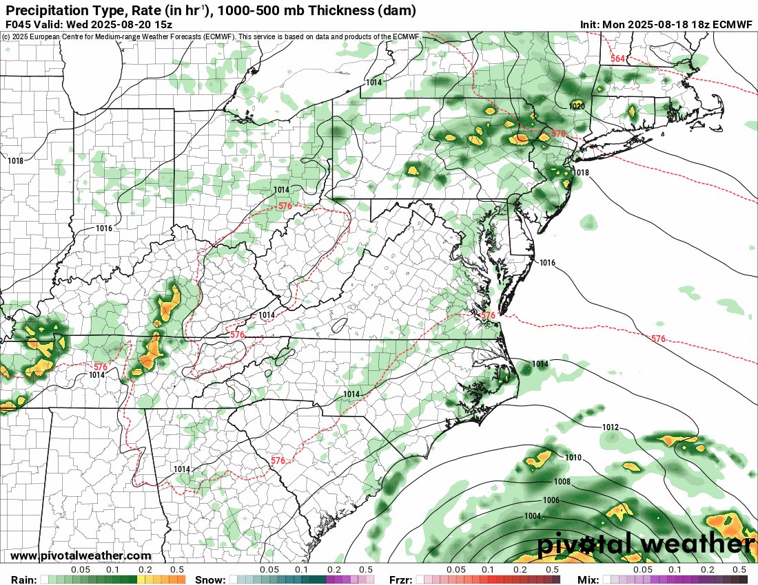
Been out of pocket with soccer tournament all weekend, moving my oldest into college today. But #Erin will pass close enough to impact Outer Banks with TS force gusts and storm surge. The 18z ECMWF showing 65-67 mph gusts on the Outer Banks as outer bands could impact those
6
3
35
RT @ZachHolderWx: Dare County issues State of Emergency ahead of #Erin. Mandatory evacuation for Hatteras Island, Rodanthe southward. Here'….
0
56
0
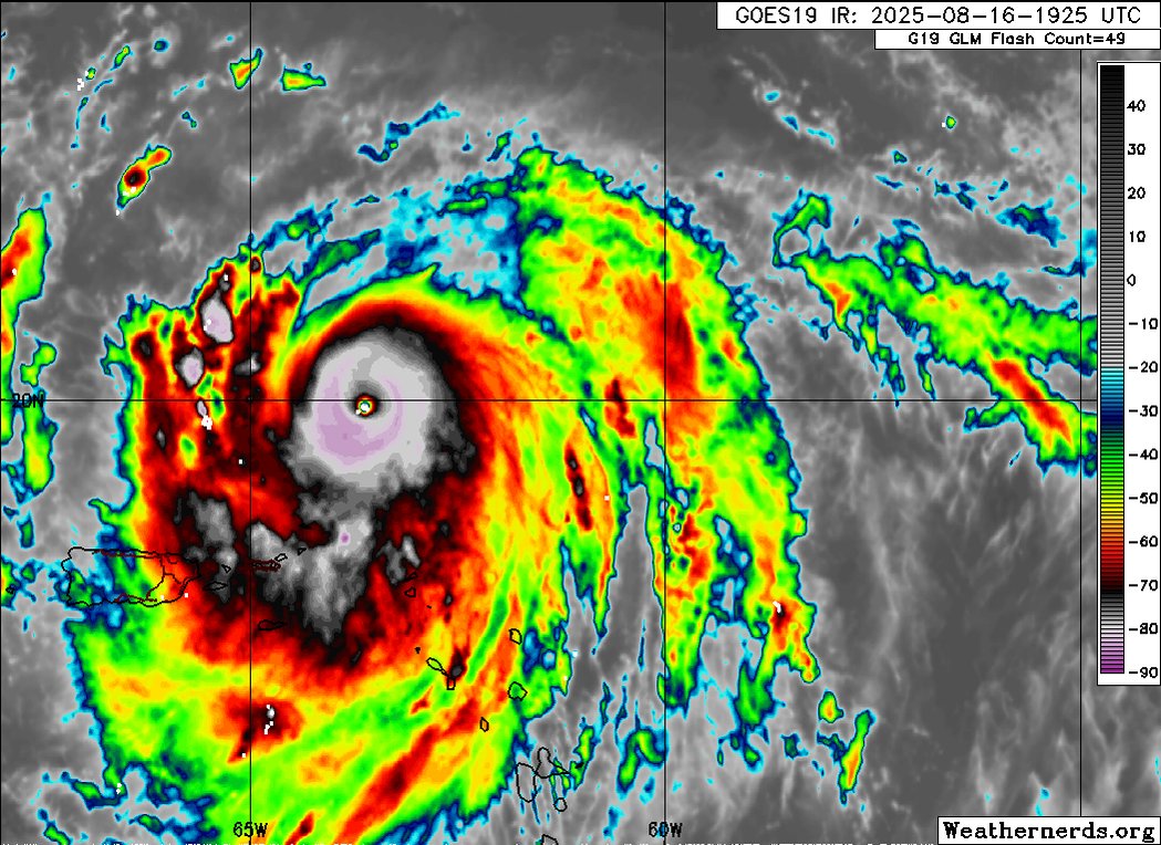
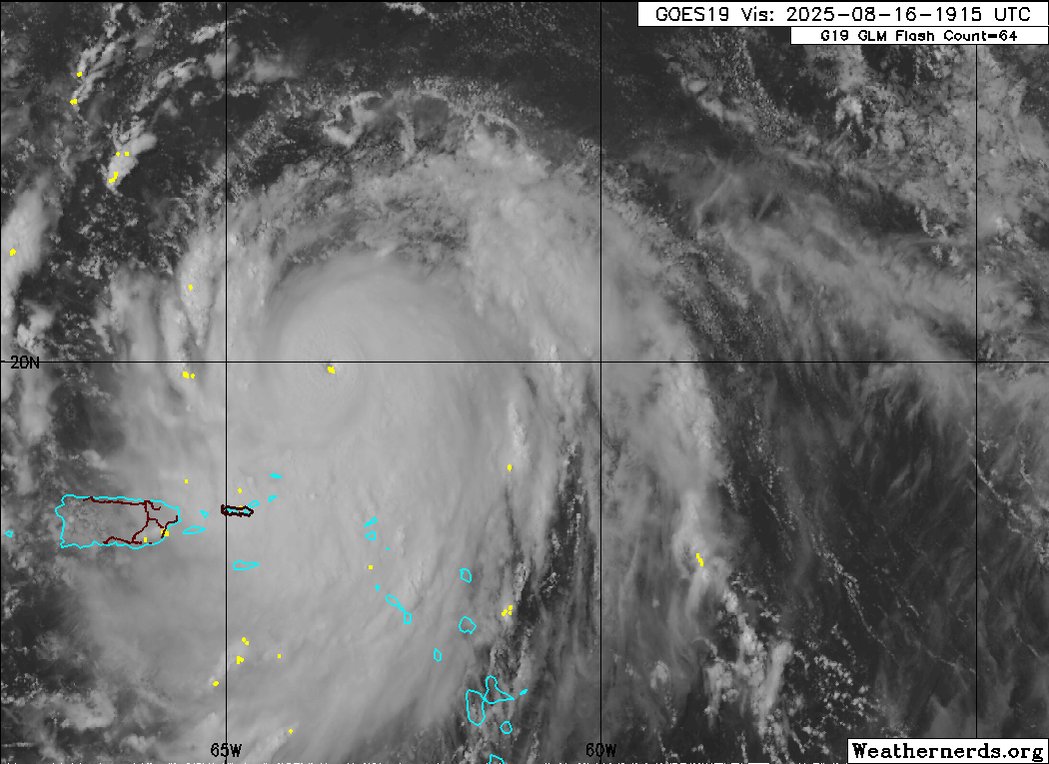
RT @burgwx: Hurricane Erin’s radius of maximum wind (RMW) continues to contract as it intensifies & is down to 21 km. Alongside a favorable….
0
17
0
RT @NHC_Atlantic: 2pm CDT 8/14: Showers & thunderstorms have increased with an area of low pressure (Invest #AL98) over the Bay of Campeche….
0
173
0
RT @NWSCPC: ENSO-neutral is most likely through late Northern Hemisphere summer 2025 (56% chance in Aug-Oct). Thereafter, a brief period of….
0
150
0
