
OpenMapTiles
@OpenMapTiles
Followers
458
Following
42
Media
39
Statuses
72
#Opensource maps for self-hosting. Powered by #OpenStreetMap vector tiles. Made by @MapTiler team.
Joined October 2016
RT @MapTiler: OpenMapTiles 3.15 is out! The main changes include.* Big improvements to the road network.* More water features.* Integration….

maptiler.com
OpenMapTiles 3.15, the open-source vector tiles map-generation tool, is out now. It enhances the road network, improves water features, and better cartography.
0
13
0
0
4
0

RT @MapTiler: We've added some extra features to @OpenMapTiles. You can now use the following when making your maps:.- Parcel lockers.- Shr….
0
5
0
We have a new style inspired by @OpenStreetMap Carto that shows all the features. Now you can have vector maps in a familiar design that will rotate and look good in 3D. We’ve even proposed that it is available on the OSM website!.Find out more:

0
4
28
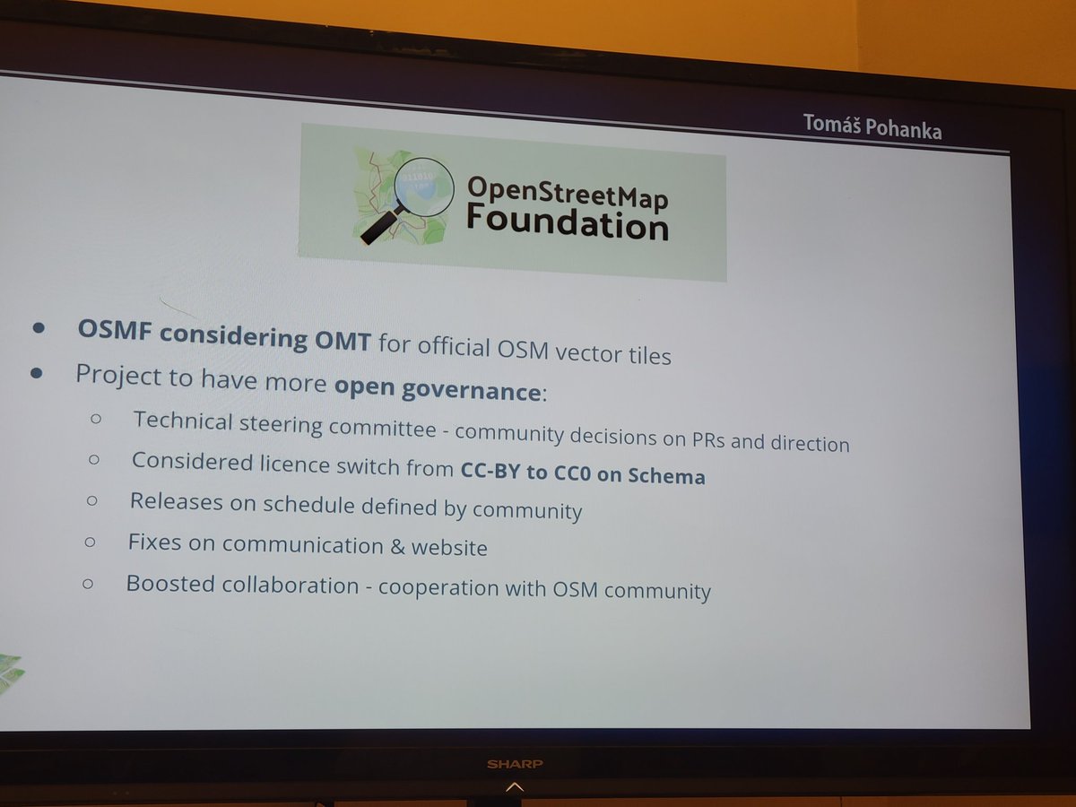
RT @nyuriks: #openmaptiles announced plans for open governance and CC0 licensing! #foss4g2022 @foss4g
0
10
0
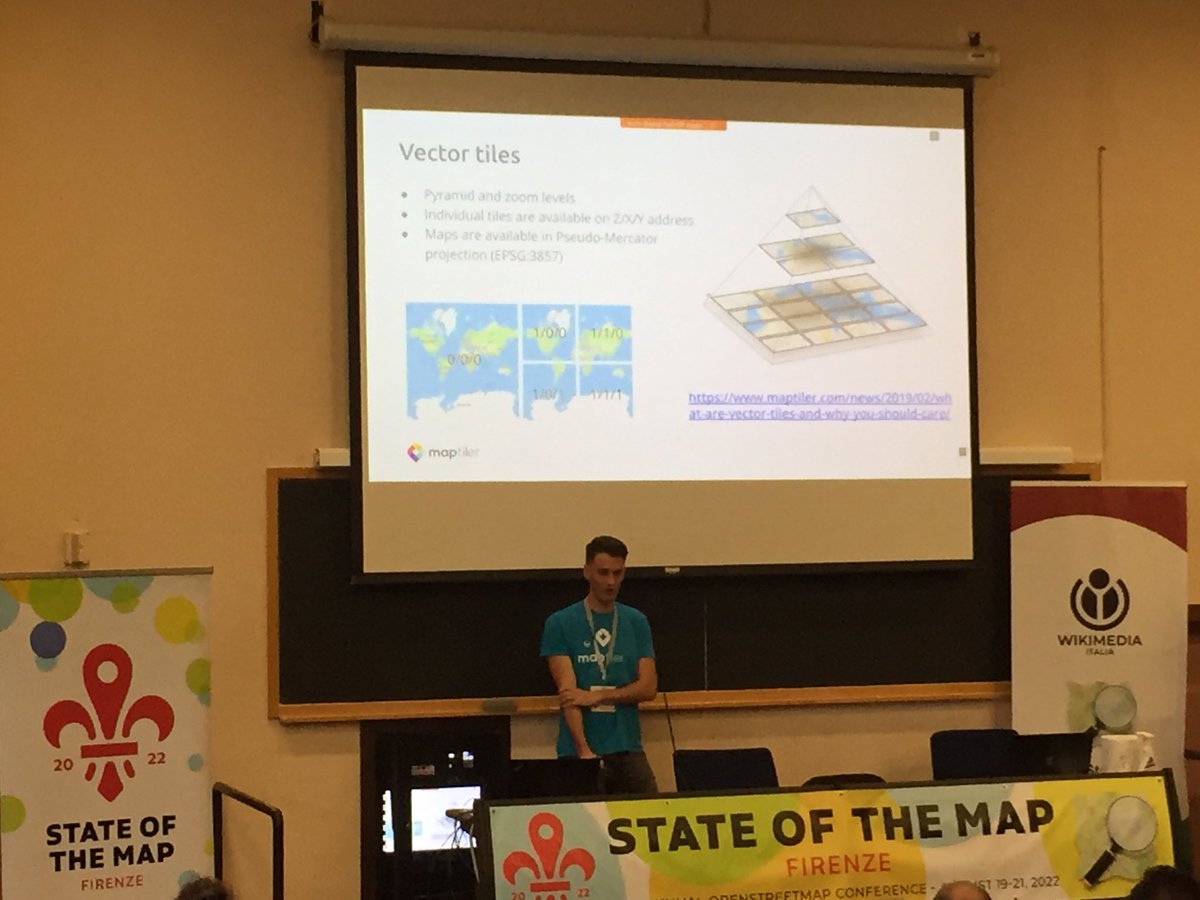
RT @MapNav_Tom: Hearing so many people talk about @OpenMapTiles at #FOSS4G2022. This is going to be a must see talk!.
0
2
0
Just Announced📢 OpenMapTiles makes steps towards Open Governance and considers CC0 licence! .OpenMapTiles may also become the Official #OSM #VectorTiles!!. #FOSS4G2022 @openstreetmap @foss4g

3
41
127
0
3
0

0
5
0
RT @MapTiler: The latest release of @OpenMapTiles greatly enhanced its cartography and map styling options! Find out what’s new in @TomPoha….
0
3
0
RT @foss4g: Friday 22 July is Black Friday for #FOSS4G2022 online registration! From 00:00 to 23:59 CEST you can get your ticket discounted….
0
23
0
RT @MapTiler_FR: (Re)découvrez la carte #OpenStreetMap sur @MapTiler Cloud! - une adaptation du style osm-carto pou….
0
2
0
RT @MapTiler: Don't forget to catch up with all improvements for showing routes on your map that came in with @OpenMapTiles 3.13. Highlight….
0
3
0
RT @MapTiler: #OpenMapTiles 3.13 gives you the option to label mountains in feet or meters, you can even use a combination of both for when….
0
3
0
RT @MapTiler: There are some new data layers in @OpenMapTiles 3.13 including cable car names and ferry route labels like the ones shown her….
0
2
0
RT @MapTiler: #OpenMapTiles version 3.13 has been released with improvements for showing routes on your maps. You can highlight toll roads,….
0
7
0
OpenMapTiles 3.13 released: Big thanks to all who contributed! #OpenMapTiles.
github.com
RELEASE 3.13 Big thanks to all contributors, especially @ZeLonewolf, @zstadler, @Falke-Design, @nyurik, @eva-j or @frodrigo to name a few. There are 107 merged pull requests! Schema related Adding...
0
4
6
RT @maplibre: Our first pre-release version of BSD-licensed maplibre-gl is out, a drop-in replacement for mapbox-gl. Big thanks to Seth Nic….

github.com
Once all other work in the first release project is done, publish the resulting code to NPM. I have created a placeholder maplibre-gl NPM package. @MapLibre/core please let me know your NPM user na...
0
32
0
RT @MapTiler: Mapbox GL JS 2.0 software is no longer open-source! We remain on 1.13 and are keen to ensure an BSD licensed open-source fork….

github.com
MapLibre GL JS - Interactive vector tile maps in the browser - maplibre/maplibre-gl-js
0
19
0
RT @MapTiler: A new feature - vector tiles support - makes it so easy to print high-res maps in @qgis 3.14 Pi! 🖨️🗺️.Learn how to add a very….

maptiler.com
The new QGIS 3.14 version adds support for the native loading of vector tiles. The easiest way to load them is via the recently released plugin.
0
21
0