
QGIS
@qgis
Followers
64K
Following
273
Media
291
Statuses
2K
Official account of QGIS - the user friendly Open Source Geographic Information System
worldwide
Joined March 2011
Mastodon will be our primary social media presence from now on. Follow us at @qgis@fosstodon.org and don't miss the other #osgeo acounts @osgeo@fosstodon.org @grassgis@fosstodon.org @geoserver@fosstodon.org For archived tweets, please see: https://t.co/hkve8zLakE
#gischat
15
74
272
The next #QGISOpenDay is on the 29th of September 2023. We already have a couple of interesting sessions scheduled. If you want to share a QGIS plugin, workflow, or hack in this open day contact @amzenviro or see the event wiki for more info: https://t.co/vibKoEkUxx
2
29
79
Join us at today's #QGISOpenDay. We have great presentations by @spatialthoughts, Sergio, Amir, Harry and Emma https://t.co/xlB2SmToRv
0
12
58
The #QGISOpenDay scheduled for August 25th, 2023, is still open for sessions. If you're interested in presenting a session on your plugin, workflow or QGIS hack please get in touch with @amzenviro or simply add yourself to the wiki page at: https://t.co/xlB2SmToRv
1
13
34
The next #QGISOpenDay is on 25 August 2023. If you want to share a QGIS plugin, workflow or hack in this open day contact @amzenviro or see the event wiki for more info https://t.co/xlB2SmToRv
1
24
49
#QGISOpenDay Session: Water quality mapping in QGIS, starts in 5 minutes:
1
33
122
#QGISOpenDay Session: How to work with QGIS and Blender to make amazing 3D maps, starts in 5 minutes:
4
65
251
It's #QGISOpenDay this Friday the 28th of July 2023! Don't miss the awesome talks scheduled for the day. For more information and links visit: https://t.co/esxSOEJ9Cx
2
91
276
The #QGISOpenDay scheduled for July 28, 2023, is rapidly filling up with captivating sessions. If you're interested in presenting a session, please get in touch with @amzenviro or simply add yourself to the wiki page at https://t.co/esxSOEJ9Cx.
1
27
54
The next #QGISOpenDay is on the 28th of July, 2023. We need speakers! If you have a QGIS workflow, plugin or skill to show the community, book a session on the wiki page here: https://t.co/esxSOEJ9Cx or message @amzenviro
0
20
53
We have really wonderful news! #QGIS.org is going to fund a full-time position for a Full stack #WebDeveloper for at least a year! This person will help us realise our new web site and maintain our existing web sites. For more info and to apply, visit: https://t.co/bGyaiNOoim
1
32
128
#QGISOpenDay Session: Using QGIS and Felt for Sharing and Collaboration, starts in 5 minutes:
0
3
7
#QGISOpenDay Session: Monitoring crop water productivity in the Mitidja plain, Algeria using FAIO WaPOR data and QGIS, starts in 5 minutes:
0
7
14
It's #QGISOpenDay Today! Join us for all of the interesting sessions, on YouTube and Jitsi. For all the schedule, links and info visit the event wiki here:
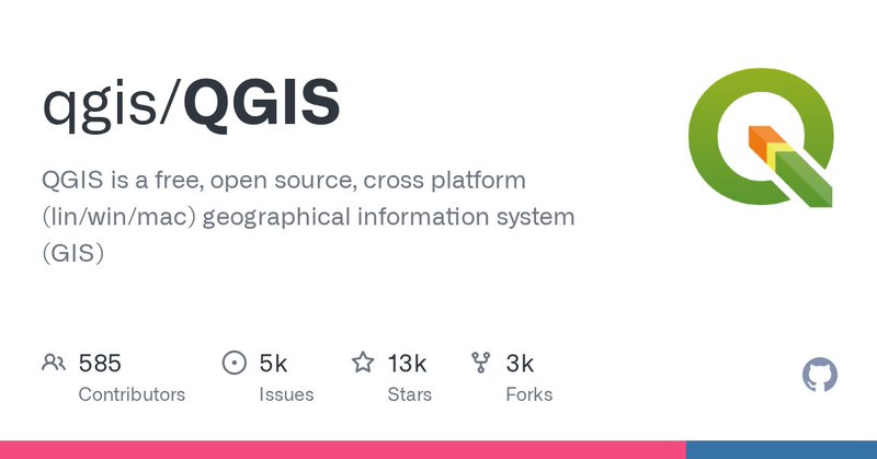
github.com
QGIS is a free, open source, cross platform (lin/win/mac) geographical information system (GIS) - qgis/QGIS
0
9
47
#QGISOpenDay is this Friday the 30th of June. The schedule is filling up fast. Don't miss any of the fantastic talks and videos. For more info and links see: https://t.co/zB4KA597le
0
11
36
The next #QGISOpenDay is on the 30th of June, 2023. We need speakers! If you have a QGIS workflow, plugin or skill to show the community, book a session on the wiki page here: https://t.co/zB4KA597le or message @amzenviro
2
23
57

Virtual Point Clouds in @QGIS and @pointcloudpipe , how to handle large number of lidar data: https://t.co/I35PJCX2Fi
https://t.co/0clkmDNqrm
1
12
52

IT'S HERE - our SLYR 6.4.0 Update! We've been working hard to get this released for you - head to our blog to read about the new tools, the new ESRI to QGIS support and the new QGIS to ArcGIS Pro functionality! https://t.co/7tSvc8og62
#qgis #slyr #gis #sig #osgeo #geospatial
0
25
79