
VCGI
@VCGI
Followers
550
Following
326
Media
214
Statuses
1K
The Vermont Center for Geographic Information is home to all things geospatial in the Green Mountain State.
Montpelier, VT
Joined April 2012
. In before the end of January! Here's what the State of Vermont's GIS groups were up to last year: 2022 Vermont GIS Year in Review:

0
0
1
Thoughts about Vermont's GIS, we know you have 'em. Let us know via this survey: We send shapefiles in thanks😉
0
0
1

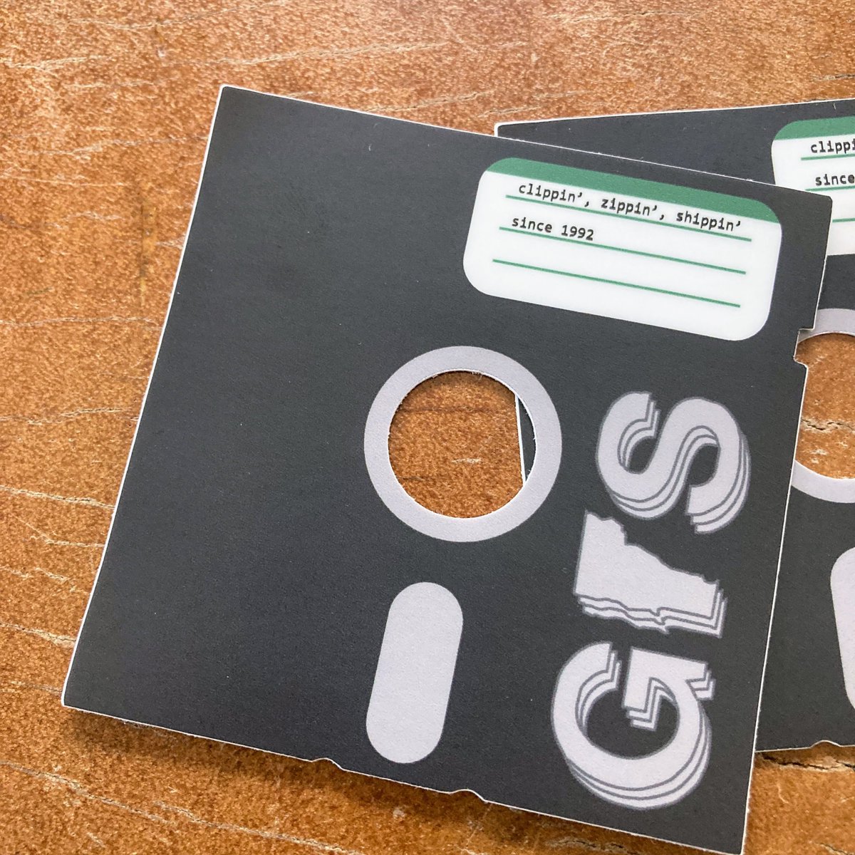
New sticker commemorating 30 years of clippin', zippin', & shippin'! Check out what we were up to in 1992: Thank you @TownMeetingTV for making this incredible archive available.
0
3
8
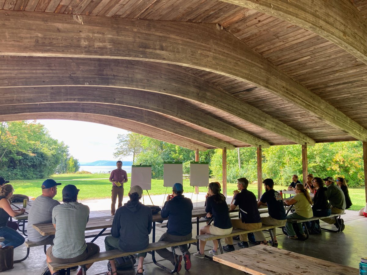
Great to see state, federal, and local partners coming together in person to think about the future of GIS in Vermont. Thanks to @VTStateParks for providing the perfect venue at Button Bay State Park!

1
0
1
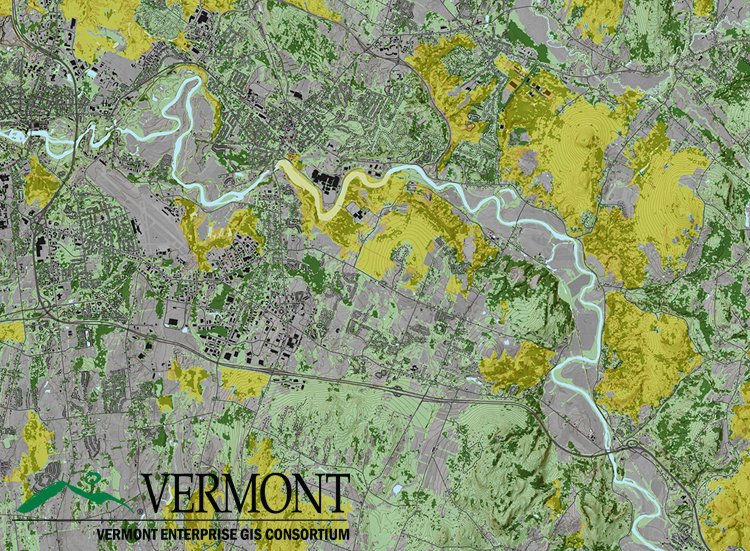
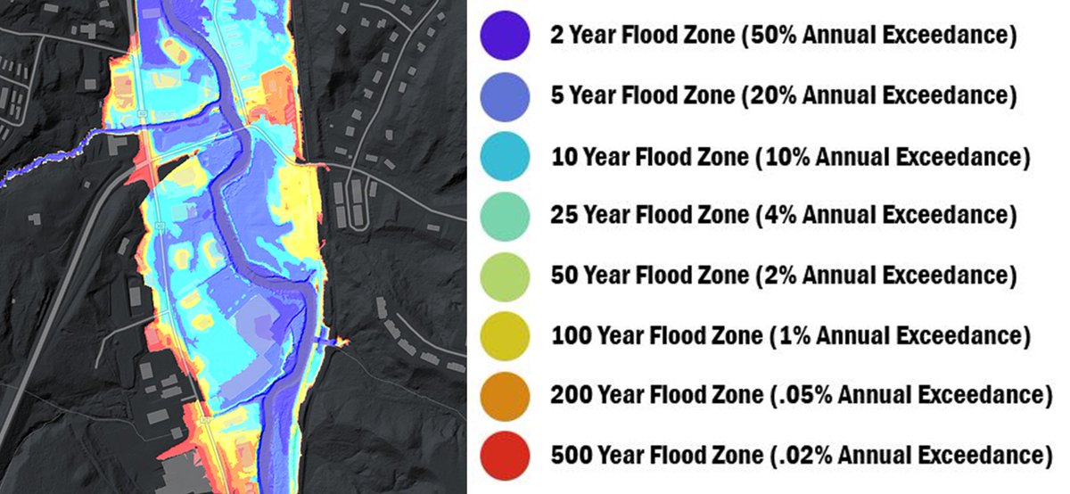
💧💧New Data Release💧💧 We're excited to announce that new lidar derived floodplain data are now available thanks to some amazing work by our partners @uvmvermont #OpenData.
0
5
8

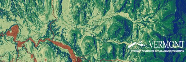
Leaf-off✅ .No snow ✅.No flooding ✅.No clouds✅ .It's that day of the year! Let's go!!!

0
1
4
RT @USGSLandsat: After much anticipation, @USGS Landsat 9 products are now available! Download data via EarthExplorer, M2M, and LandsatLook….
0
157
0
How do you use lidar derived elevation data to create better flood maps? We asked Rebecca Diehl of @UVMGeog @GundInstitute and Kristin Underwood @UVM_CEE

0
3
5
A great example of what is possible with historical imagery. Dreaming and scheming of something similar here in VT: Iowa statewide, 1930 digitized and orthorectified historical aerial imagery service. AGO Viewer: REST Service:
1
1
4
RT @sentinel_hub: 🎉🆕 #WorldCover map 🗺️ at 10 m resolution based on Sentinel-1/2 data is also available in #SentinelHub and #EOBrowser. Onl….
0
82
0
Calling all cadastral wranglers: VCGI is hiring a full-time GIS professional to join our parcel program. App due 9/23. Please share widely!

0
3
2
Working with partner agencies on making old imagery available digitally reveals how easy it is to become fond of hand-drawn index sheets. Exhibit A and B.


0
0
2

0
1
0