
Riley Fannon
@RileyFannonKRCG
Followers
760
Following
6K
Media
5K
Statuses
10K
Evening Anchor for KRCG-13| Mizzou grad | I tweet about the weather and Chicago sports | opinions are my own | [email protected]
Jefferson City, MO
Joined October 2016
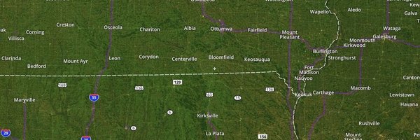
Severe Thunderstorm Warning in effect until 4PM for Maries, Miller and Pulaski counties. 60 MPH winds and 1" hail possible.

0
0
0
Severe Thunderstorm Warning in effect until 4PM for Pulaski County. 60 MPH winds and 1" hail possible.

0
0
0
Severe Thunderstorm Warning in effect until 4PM for Franklin and Gasconade counties. 60 MPH winds and hail smaller than an inch possible.

0
0
0
Keeping an eye on some scattered/isolated storms this afternoon that could produce some stronger wind gusts. Another shot at rain along an upcoming cold front Tuesday. The end to this hot & humid stretch is coming this week! I'll have the latest tonight at 5, 6 & 10.


0
0
0
Stay hydrated and find ways to cool off this weekend! A copy and paste forecast for Saturday and Sunday with highs in the 90's and the heat index into the 100 degree range. Don't forget the sunscreen as well as the UV index will be very high both days this weekend.


0
0
0
Quiet night for Mid-Missouri with temperatures falling to near 70 degrees. Friday begins our stretch of hot and humid weather with temperatures in the 90's and the heat index over 100 degrees. A Heat Advisory will be in effect from 1-7PM for counties west of US 63.


0
0
0
Some patchy fog possible Thursday morning but it shouldn't stick around long after sunrise. Another seasonable forecast with highs shy of 90 degrees but it will feel like it's in the upper 80's to lower 90's. The more dangerous heat/humidity will arrive Friday through the weekend


0
0
0
The Perseid Meteor shower peaks tonight into early Wednesday! Get away from city lights and scan the night sky. As we head towards sunrise we'll be watching for fog, heavier in areas that received rain Tuesday. Another day with temperatures in the 80's tomorrow.


0
0
0
Severe Thunderstorm Warning in effect until 10:45PM for Chariton, Howard and Randolph counties. 60 MPH winds and .75" hail as well as torrential rainfall possible.

0
0
0
Folks at the Missouri State Fair should be looking to find shelter as these strong to severe storms move in from the south. 60 MPH wind gusts, 1" hail and torrential rainfall all possible.

0
0
0
Severe Thunderstorm Warning in effect until 7:45PM for Benton County. 60 MPH winds and 1" hail possible.

0
0
0
Severe Thunderstorm Warning in effect until 8PM for Pettis County. 60 MPH winds and .75" hail possible.

0
0
0
I'll be keeping a close eye on storms developing just to our west this afternoon. Some of those storms could become severe capable of damaging wind gusts and we can't rule out an isolated tornado.


0
0
0
RT @SharonRayWx: Catch the full "Sturgeon" moon rising at 8:12 this evening. A thin layer of wildfire smoke along with the higher humidity….
0
1
0
A hot and humid end to the work week with temperatures in the 90's and the heat index getting above 100 degrees. A Heat Advisory will be in effect until 8PM for portions of Mid-MO. A weekend cold front will start a more unsettled weather pattern for the area.


0
0
0
Another decaying round of showers/storms possible on Thursday, much like what we saw on Wednesday. Outside of that it will be a warm and muggy day with temperatures in the upper 80's to lower 90's but feeling like its closer to 100 degrees at times.


0
0
0
A few spot showers to thundershowers possible Wednesday but most of Mid-Missouri stays dry. Otherwise, it'll be a bit warmer with highs into the 90's for many and the heat index up near 95 degrees.


0
0
0
Comfortable tonight but some fog possible early Tuesday. A warming trend will play out this week and have us back towards the 90's ahead of the upcoming weekend. Maybe some rain Wednesday but much of the area looks to stay dry through the week.


0
0
0
A few stray showers still possible today but most of the area will see very little of new rainfall. Otherwise cooler and more comfortable today through the weekend! Get outside and enjoy it Mid-Missouri.


0
0
0