
Pete Bouchard
@PeteNBCBoston
Followers
37K
Following
53K
Media
5K
Statuses
41K
Chief Meteorologist NBC10 Boston #meteorologist in Boston since 373ppm (2002). PT sawdust maker and guitar hack. Califormonter. IG: @petenbcboston
Boston, MA
Joined April 2009
The European AI forecast has become more confident on snow Sunday. More members show accumulating snow (1st), and odds are growing for at least 3" in spots (2nd).
6
4
32
Smattering of squally snow showers heading thru Greater Manchester. Sweeping into parts of the Merrimack Valley in the next hour. Briefly reduced visibility in snow and wind.
1
0
11
Now that we've established a snowcover in parts of SNE, the models have keyed in on it. Here's the HRRR for tomorrow night. See the colder numbers over the snow? #coolscience
3
2
39
Hard to overcome the low level "warmth" during the storm tomorrow. We've seen this many times in the past couple of years. Higher terrain across SNE gets the most snow. Event starts 8-10a & ends 11p-1a tom. night. Gusty winds on Cape.
9
7
83

@PeteNBCBoston Hey Pete! Always love seeing the first snowfall of the season, especially when it has graupel!!❄️😃Btw, you and yours had a nice Thanksgiving! Stoneham OBS at 5pm: Temp: 37; High: 42; Low: 34; DP: 23; Wind: SW, 8 w/higher gusts; Mostly clear; SNOWFALL: Trace. Best!
3
2
9
Confidence is growing on a solid snow/mix/rain event for Tuesday PM/night. While the rain/snow lines may go down to the wire, greatest chances for accum. are mapped below. Also note the inc. confidence in the AI runs (more members showing heavier snow).
13
11
111
Weather talk: this is the bullish proposal that the GFS brings to New England Tue night/Wed. EC is MUCH tamer. We'll see how it plays out, but we're thinking it's overdone.
15
5
82
Two distinct warmups (and a sharp cooldown) on the horizon. One before Thanksgiving & one into the first couple of days of December.
4
1
29
At 252mph, that wind gust in Hurricane Melissa was... fast. It was also approx. 250m above ground. Curious...are we distinguishing between ground-level & winds aloft in the "fastest winds on Earth" list? At 6k ft, was Mt. Wash wind even ground level?
0
0
10
Logan Airport finally hit the magic mark. 1st 32 of the season this morning. Tough go this year. Came so close several times. Avg is Nov. 5th. Latest is Dec 6th in 2009.
1
1
11
Spencer, Mass tonight. 1st accumulation of the season. Exactly 3 days later than last year. 📸 Jeff Butensky
4
2
17
I can dig this as the alternative to the Greenland Block into December. A mighty PNA pattern.
17
3
108
The Euro dissolves the Greenland Block by next Friday. This should allow milder air Pacific air to flood the country - and New England.
15
14
166
We're at a Kp index of 8...equivalent to last night's Kp level (with a dazzling light show), BUT the clouds are ruining any view of the aurora.
1
1
18

1
5
18
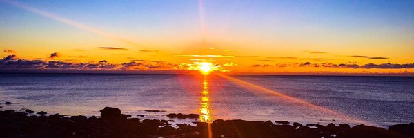
The Northern Lights have arrived.

5
4
29
Cold oozing through Greater Worcester...coming to a town near you in 1-2 hours.
6
2
17
How about that Fitchburg -> Norwood temp contrast today? 🫨
0
1
12