
NtxWeatherDepo
@NtxWeatherDepo
Followers
522
Following
53
Media
119
Statuses
3,740
Latest weather updates/forecasts for North & North Central Texas.
North Texas
Joined February 2014
Don't wanna be here?
Send us removal request.
Explore trending content on Musk Viewer
LINGORM CHARMING RISING COUPLE
• 1021173 Tweets
Derrick Rose
• 86249 Tweets
#大感想大発表
• 39893 Tweets
カレンダー
• 36532 Tweets
D Rose
• 31990 Tweets
VLOG 13 WITH BUILD
• 31159 Tweets
#モニタリング
• 23730 Tweets
#素のまんま
• 23411 Tweets
CS進出
• 14962 Tweets
#ケンミンショー
• 13958 Tweets
高校生の手紙
• 13560 Tweets
CS決定
• 10484 Tweets


Crippling ice storm on tap for the I-35 corridor… I expect much of this ice to fall as sleet, not freezing rain. There are areas S & SE of DFW that will see longer duration freezing rain before any transition to sleet.
#txwx

8
8
37
Latest Model Data showing 7-8”+ inches of Snow Accumulation for Lubbock tx, Friday Night.
#txwx

1
21
32

12z EURO signaling potential ice storm next Tuesday. We will be watching the data closely this week to see how this evolves.
#txwx


4
4
34
12z GFS showing Ice Storm Warning criteria for Sunday night along a Denton-Weatherford-Granbury line. This would be significant for Tarrant & Collin counties as well. We will keep watching.
#txwx

7
5
31
Wednesday impacts looking worse and worse. Full blown ice storm across large portions of tx… I-20 from DFW west to Abilene & Midland could be shut down. Crippling infrastructure for a large chunk of tx.

3
5
29
Okay NTX/DFW… Time to start raising the alarm bells for *Wednesday*. Day 3 of this long duration Winter Storm event. Wednesday - frozen precipitation is going to be more widespread than today, and tomorrow. Copious amounts of moisture to work with Weds AM -Thurs AM.
#txwx
4
4
28
Last night’s 0z EURO run came in even stronger with significant ice & snow accumulations across NTX Monday. Still 7 days out, hi-res models aren’t in range yet. Stay tuned.
#txwx
#winterstorm


12z EURO signaling potential ice storm next Tuesday. We will be watching the data closely this week to see how this evolves.
#txwx
4
4
34
1
4
30
Trends not good for NTX Sunday night. New data coming in now and will update later
3
0
21
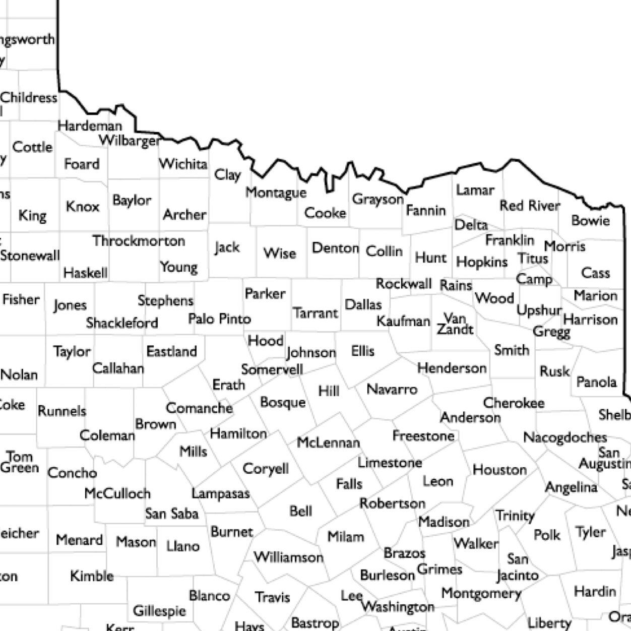
Tarrant County Schools -
Fort Worth ISD - Open
Arlington ISD - Open
Keller ISD - Open
Northwest ISD - Closed
Saginaw ISD - Closed
Lake Worth ISD - Closed
Azle ISD - Closed
White Settlement ISD - Closed
Castleberry ISD - Closed
Aledo ISD - Closed
3
2
22


2
6
20


18z EURO showing warning criteria ice levels in Dallas, Collin, Rockwall, Ellis counties and further east. Precip types make this forecast very tricky. Most likely would be sleet but if precip remains light could just be a steady freezing mist that amounts to .25” of ice.
#txwx

2
7
18
Latest GFS run breaks out light sleet/snow across the region Sunday evening and shifts the “heavier” snow band south right along the I-20 corridor overnight into Monday morning. Would be 1-3” for Metro if this verified.
#txwx


1
5
18
Snow could be possible on the backside of this system as it pushes out of the region Thursday afternoon.
2
0
17
12z CMC showing a period of significant icing starting around noon Sunday through about 6am Monday morning. Eventually turning to all rain as temps warm above freezing. How far south does Friday’s Arctic blast go? And how quickly can temps recover from the 20’s Sunday.


3
2
16
I doubt DFW gets out of the teens for high temp on Monday.
1
0
17
⚡️CMC the most bullish for a Significant Winter Storm for large portions of Texas. The bulk of the precipitation would be Tuesday. This model has been the most consistent, and aggressive with ice and colder temps. This would cause high impacts across the state if verified.
#txwx


2
3
16
I know we have active WSW & WWA across the region, but seeing some strong signals for an overrunning event next Sunday/Monday across North & Central tx. Ice storm potential with copious amounts of moisture, much higher QPF on the table with that storm. GFS/CMC with some agreement


3
0
14
Looking at the latest data for next week… Yikes… A lot more agreement now models are trending towards a High Impact Winter Storm/Ice Storm for large portions of TX.
#txwx
5
0
15
GFS for Sunday/Monday system
#txwx
I know we have active WSW & WWA across the region, but seeing some strong signals for an overrunning event next Sunday/Monday across North & Central tx. Ice storm potential with copious amounts of moisture, much higher QPF on the table with that storm. GFS/CMC with some agreement
3
0
14
5
0
16
Well that “most likely scenario” escalated.


1
1
16


Multi day Winter Wx?->> The 18z European Control run is now signaling a secondary batch of light snow Tuesday Morning from DFW-Abilene-Wichita Falls with temps in the low teens across the region. This is AFTER the initial round of freezing drizzle & sleet Sun/Monday.
#txwx


1
0
14
EURO back to showing freezing rain as the predominate precip type for DFW🤦🏼♂️
2
1
15
Weatherford & Decatur have dropped down to 32 degrees. Fort Worth & Denton still 33/34 degrees.
#txwx
2
5
14
This pattern is a textbook ice storm setup. The only catch is I don’t think we have something to compare it to here locally, as far as precip amounts. We haven’t seen something like this. Keep in mind, Weds is in play now too.
4
0
14


Across DFW all modes of frozen precipitation are on the table… freezing drizzle - sleet and snow. Heavier sleet at times. Light snow, light freezing drizzle. With temps well below freezing in the teens anything falling will stick and freeze up roadways, bridges, sidewalks etc.
3
0
14
So at what point do we see institutions, media, schools etc start to take this seriously?
5
1
13

⚡️12z GFS showing enough lift region wide to break out frozen precipitation Sunday afternoon through Monday morning. Sleet —>> Snow for I-20 corridor and northward. Deeper moisture available further NE of metro towards the red river.
#txwx
#dfwwx
#winterstorm


6z GFS showing higher sleet totals in the metroplex with the highest in Collin & Hunt counties. Still too early, could see some more shifts.

0
1
9
2
2
13

I can’t find one model run that has temps in the 40’s Mon/Tues. Not one. A little concerning seeing this forecast go out 3 days out.

Next week looks cold and wet. The end of the 10 day forecast brings back slightly warmer weather.
#wfaaweather

2
7
40
1
0
13
12z Euro remains consistent.
Last night’s 0z EURO run came in even stronger with significant ice & snow accumulations across NTX Monday. Still 7 days out, hi-res models aren’t in range yet. Stay tuned.
#txwx
#winterstorm
1
4
30
2
0
12


2
3
10


Temps have undercut models once again. Low 20’s currently across in NTX.
0
0
11
I expect local TV Mets will begin to change their tone tomorrow.

It gets cold in winter It gets cold in winter It gets cold in winter It gets cold in winter It gets cold in winter It gets cold in winter It gets cold in winter It gets cold in winter It gets cold in winter It gets cold in winter It gets cold in winter It gets cold in winter
55
31
332
2
0
11
Not surprised by the general public’s lack of knowledge on the effects of freezing rain, but I am concerned about the amount of people completely letting their guard down across DFW all of a sudden. Reminder that 1/4 of every household in Travis county (Austin) are without power.
2
1
11
Temperatures have crept up to 26-28 across the metroplex. Continue to monitor trends as surface temps will swing the magnitude of impacts for tomorrow. Possible they could dip back down overnight, also possible they could continue to rise. Stay tuned
Temperatures remain 24-26 degrees in the heart of the metroplex.
0
0
7
1
0
10


Lift/instability and PWAT values about to be juiced up across tx the next 48 hours starting soon…
2
0
9
Looks like high temp tomorrow around 31-33 degrees across NTX.
2
0
10
0
0
9
Notice the “next week” wording trying to *distance* the forecast like we aren’t less than 48 hours away from an ice storm. Unbelievable.
5
1
8
0z ICON came in colder for DFW Sunday. Starts light freezing rain 9am Sunday morning through Monday morning. Temps in the mid 20’s Sunday morning, with a high of 30 Sunday. Temps rise to 31-32 overnight into Monday morning. Depicts temps rising above freezing mid morning Monday.
1
0
9
I think the area between Fort Worth - Weatherford - Granbury axis will be hit the hardest with impacts through morning. Everywhere else is still in play but I think highest remaining ice accumulations will take place in tarrant, parker, and johnson counties.
7
0
9
Temps are currently warming faster than modeled with southerly flow. Above freezing across the metroplex temps are 34-38 degrees.
2
0
9
Record breaking cold temps is enough to strain the power grid in TX.. Add a few days of statewide wintry precip and now the concerns of power grid issues becomes very real.
1
0
9


We are going to wake up to a massive precip shield over most of Texas. Very powerful, dynamic system. Severe storms, Tornados possible on one side of the state, while the other side of the state gets hit with heavy snow and possible thundersnow.
#txwx
0
0
9
This system has the potential to continue to over-perform as our main moisture source region (Mexico) isn’t sampled well into data. However models having been consistently showing heavy precipitation breaking out Weds morning last throughout the day/night with temps below 30.
Okay NTX/DFW… Time to start raising the alarm bells for *Wednesday*. Day 3 of this long duration Winter Storm event. Wednesday - frozen precipitation is going to be more widespread than today, and tomorrow. Copious amounts of moisture to work with Weds AM -Thurs AM.
#txwx
4
4
28
1
0
9
Looks like sleet could be more dominant precip type I-35 W corridor. Still windows of opportunity for freezing rain in this area but more sleet - Fort Worth/Denton and points west.
4
0
9


Notable that the latest 0z GFS run has a low of 25 for Dallas TONIGHT and 21 for Fort Worth. As of 10pm current temps are from 12-18 degrees across DFW area already. GFS has warm bias and has been atrocious with these arctic fronts.
3
0
9
Bottom line stay off the roads overnight!! Put your safety first. Could could dicey after midnight with the next round from Weatherford-Fort Worth-McKinney northward.
0
0
7
Important to note FV3 & RGEM keep DFW above freezing through duration of precip. RGEM does have significant ice totals for those areas below freezing though, just north of DFW metro.
3
0
9
6z GFS swings back towards its older runs and the CMC/ICON. It’s getting there. Significant Ice accumulation from Weatherford-Sherman line. Keeps most ice just NW of DFW.
#txwx


1
0
9
3
3
9


6z GFS showing higher sleet totals in the metroplex with the highest in Collin & Hunt counties. Still too early, could see some more shifts.
0
1
9
2
6
8
Convective sleet/freezing rain with temps in 20’s. Icy roads would NOT be confined to bridges & overpasses.
1
0
8


DFW Metro & the I-20 corridor are going to be in the “battleground” zone for precip types. Along the I-20 corridor you could see all 3. Starting as a freezing drizzle Sunday afternoon/evening, transitioning to sleet with heavier precip and then light snow as it comes to an end.

@NtxWeatherDepo
@akhilmatt13
Freezing rain would be the worst. Hopefully not enough to cause issues. You think it could even change over to snow before ending ?
1
0
0
3
0
8
⚡️There’s still a window of opportunity for supercells to form tomorrow evening in North tx, into southern Oklahoma between 5-10pm. DFW area is also under the gun if these storms can overcome the cap in place.
#txwx


3
0
8
⚡️This solution would be a nightmare for North & NE TX. Significant ice storm. Still 5 days out.
#txwx
#dfwwx

Concern increasing for next week… 0z Models (ICON/CMC) trending colder Mon-Wednesday. Multiple rounds of precipitation, all modes - Rain, - Freezing Rain, Sleet maybe snow on backside. Surface temps looking cold enough Tuesday while precip falling over DFW Metro.
#txwx
2
0
7
1
0
8
@akhilmatt13
12z RGEM has increased moisture / sleet totals for I-20. Bullseye from Greenville-Tyler out to Texarkana

0
1
6
3
0
7
12z ICON showing the same thing. With a high temp of 31 on Sunday for DFW. Temps start out in the mid 20’s early Sunday and stay around 29-31 through the onset of freezing rain lasting until Monday morning when temps rise above freezing.
#txwx


12z CMC showing a period of significant icing starting around noon Sunday through about 6am Monday morning. Eventually turning to all rain as temps warm above freezing. How far south does Friday’s Arctic blast go? And how quickly can temps recover from the 20’s Sunday.
3
2
16
2
0
6
7pm temps -
Fort Worth 31
Dallas 33
Saginaw 29
Weatherford 28
Denton 29
McKinney 31
Decatur 27
Bowie 25
#txwx
2
0
7
HRRR hinting at some light snow for our western counties overnight into early tomorrow morning. No accumulations expected.


2
0
7
Temperatures remain 24-26 degrees in the heart of the metroplex.
0
0
7