

Jia Yu
@JiaYu_JY
Followers
565
Following
1K
Media
31
Statuses
572
Co-founder @Wherobots. Ex-CS Prof @WSUpullman. Ph.D. @SCAI_ASU. Co-creator @ApacheSedona. Previously @MSFTResearch, @IBMResearch, @Apple
Joined July 2015
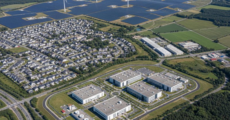
🎉 We’ve raised $21.5M in Series A funding, bringing our total funding to $27M! At @wherobots , our mission is to unlock the power of geospatial data to tackle planetary-scale real-world challenges. Backed by top investors including @felicis , @Wing_VC , @ClearVentures ,
1
1
9

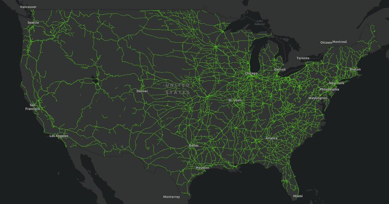
Aarden AI helps land investors understand the value + potential of land across the U.S. But analyzing geospatial data at that scale used to take days. With Wherobots, they cut compute time from 7 days to 30 minutes. Read their story:
wherobots.com
Discover how Aarden.ai scaled geospatial intelligence for land investments 300× faster with Wherobots — transforming spatial data into business insights.
0
1
3
Can you use PMTiles with Esri’s JavaScript API? 🤔 At first we thought no, but we love a good challenge. With a simple workaround, you can get all the benefits of PMTiles inside of your Esri maps! See how we cracked it (and how you can too):
wherobots.com
Learn how to use PMTiles with the Esri JavaScript API. Follow this step-by-step guide to serve PMTiles in ArcGIS Maps SDK using a lightweight tile server
1
2
2

Yesterday I learned about the SpatialBench from Sedona https://t.co/I7MYOptkuK Which they based on our tpchgen-rs project: https://t.co/PR0F0AS9SD (BTW I a still looking for some more github watchers on tpchgen-rs so I can get it on homebrew)
0
2
32

Join us for a special Apache Sedona Community Office Hour as we celebrate the 1.8.0 release and launch SedonaDB & SpatialBench! We’ll cover: 🆕 What's new in Apache Sedona 1.8.0 🧩 SedonaDB examples and demos 📊 SpatialBench design 👉 Join us on 10/7: https://t.co/nHsyVxx69y
0
2
2
🚀 Launching Sept 29: Geospatial Data Engineering Associate Program! Go beyond maps + analysis and learn to build enterprise-ready geospatial pipelines in 5 Weeks! ➡️ Enroll: https://t.co/LSUIlXbls3
0
1
3

Are you building a #geospatial startup? Join us Oct 2 for a #webinar w/ the team from @wherobots to explore SedonaDB, Spatial Bench & their Startup Accelerator Program. Learn how it supports early-stage founders & discover real-world use cases. Register ⤵️ https://t.co/wY6tAhGWjl
0
2
2
We’re excited to announce the initial release of SedonaDB, the first open-source, single-node analytical database engine that treats spatial data as a first-class citizen. 👉 Learn more and get started today: https://t.co/dhPJWLHw0s
0
1
2
🚀 Introducing SedonaDB: the first open-source, single-node analytical database engine built spatial-first. Written in Rust, it’s lightweight, blazing fast, and flexible enough to run in single-machine environments. Learn more and get started today: https://t.co/mtcVqNLWau
0
1
1
🚀 Wherobots now federates with Databricks Unity Catalog! Databricks users can now reduce costs up to 60% and accelerate spatial computations by 5-20X. 👉 Learn how we are closing the spatial gap in big data: https://t.co/0LzXeP9fJr
0
2
3
🚀 The agenda is live for Accelerate Climate Innovation with Earth Data & AI in SF, with AWS & 9Zero! We’re excited to welcome AWS to the stage for a keynote on geospatial and climate tech on AWS. More details on the keynote here: https://t.co/vUjKa27X2s
#ClimateTech #AWS
0
2
5
🌍 Join us and @AWS for a hands-on workshop + innovation showcase on building intelligent solutions with geospatial data, AI, and LLMs. Discover how climate innovators are driving environmental resilience at unprecedented scale and performance. RSVP here:

luma.com
Join AWS, Wherobots and co-hosts 9Zero and Earthmover at the AWS GenAI Loft for a hands-on workshop and innovation showcase focused on building physical world…
0
1
1
🚀 Introducing the Wherobots Fundamentals Course—your free guide to scalable geospatial analytics and data engineering with Wherobots’ cloud-native platform. From distributed spatial queries to working with modern data formats, we’ve got you covered!

learn.wherobots.com
Learn the foundations of Wherobots and the Spatial Intelligence Cloud and get certified for your skills!
0
2
3
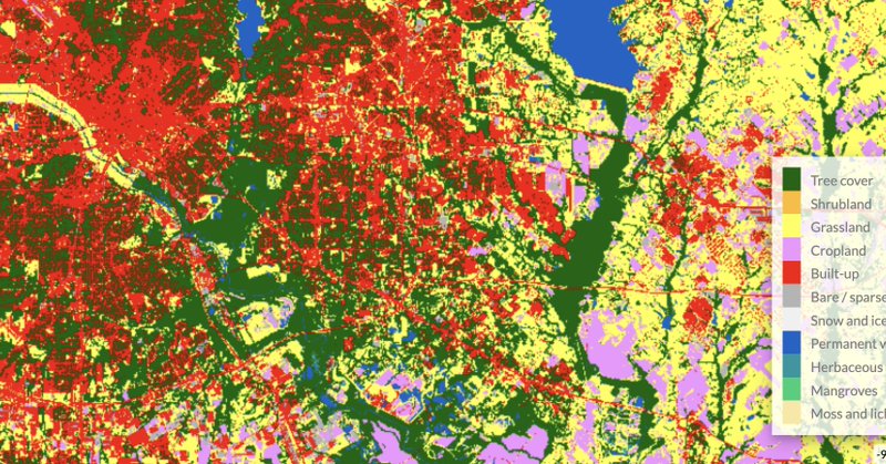
Spatial joins between raster and vector data can be relatively straightforward for one task until you scale. We used ESA WorldCover & Overture Maps datasets to analyze land near Texas buildings. Which tool was faster? It was us! 🚀 Get the full breakdown:
wherobots.com
Perform spatial joins at scale and zonal statistics with vector and raster data using Google Earth Engine & BigQuery vs. Apache Sedona & Wherobots. Compare performance, architecture, and geospatial...
0
3
6
🆕 #CNG2025 session recording @JiaYu_JY, co-founder of @wherobots shares insights on scalable geospatial lakehouses with Apache Sedona & Iceberg ▶️ https://t.co/Y3MypgiAmF
0
1
4
Turn your spatial SQL queries into dynamic, interactive maps. Achieve unmatched price-performance, streamline visualization, and leverage a modern lakehouse architecture for actionable insights using Wherobots and Dekart. Save your spot:
wherobots.com
Discover how data teams process spatial data fast and turn those SQL queries into interactive maps using Wherobots and Dekart.
0
1
1
Check out the latest article from @BigDataWireNews featuring us and @ApacheSedona! It covers the origins of Sedona, early adopters like @Amazon Last Mile and the @OvertureMaps Foundation, and the challenges that we're helping to solve.
0
3
5
Despite most data being collected from the physical world, general-purpose systems lacked support for geospatial data. That’s why we built Apache Sedona—to treat geospatial as a first-class citizen. Read the full feature on @BigDATAWireNews:
0
1
5
📍Learn to work with @Foursquare's continuously updated POI dataset using Wherobots in this new tutorial blog post. Includes complete code examples and visualization techniques. https://t.co/AFI5FSCW0M
0
1
1
Working with spatial joins, GeoAI on satellite imagery or map matching? Join us for a hands-on session on how to make this process scalable, fast, and cost-efficient. 📈⚡💰 For more details:

wherobots.com
Build high-performance map matching pipelines and validate road networks using Wherobots and computer vision on satellite imagery. Learn to process GPS traces, run spatial joins, and apply GeoAI...
0
2
2
🚨 The latest in Cloud Native Geospatial Analytics with Apache Sedona (by O’Reilly) just dropped! This one’s all about using Sedona with cloud providers including Databricks, AWS, GCP, and more. See how Sedona fits your cloud stack.
resources.wherobots.com
Based on Apache Sedona, Cloud Native Geospatial Analytics With Apache Sedona guides data practitioners through the world of planetary-scale geospatial analytics.
0
3
7