
Tomasral
@tomasral
Followers
171
Following
12K
Media
189
Statuses
688
Geographer and cartographer 🗺
Asturies
Joined August 2009

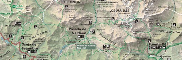
El consejero de Fomento, Alejandro Calvo, se reunió con los representantes de CarreterAstur, Adrián Costales y Jorge Rodríguez, quienes le presentaron el Catálogo de Elementos de Interés Histórico en las Carreteras del Principado de Asturias que ha elaborado por este colectivo
1
10
11
Day 29: Overture. Chemin de fer-musée Blonay-Chamby. Data: @OvertureMaps and @swisstopo
#30DayMapChallenge #Map #GIS #QGIS
0
0
4
Day 28: The Blue Planet. Changes in average surface ocean pH between 2000-2010 and 2010-2020 decades. Thanks to @carmenblancof.bsky.social for helping me with this topic. Data: Bio-ORACLE. #30DayMapChallenge #Map #GIS #QGIS
0
0
2
Day 27: Micromapping. A Farm mapped using drone imagery and Warren Davison styles ( https://t.co/vdgpgXnRxz...)
#30DayMapChallenge #Map #GIS #ArcGISPro
0
3
32
Day 26: Projections. Spain Users' Main Errors Projecting Geographical Data #30DayMapChallenge #Map #GIS #QGIS
1
0
6
Day 25: Heat. Volcanoes and glaciated areas in Iceland. Data: OSM and Natural Earth #30DayMapChallenge #Map #GIS #QGIS
0
0
7
0
1
9
0
0
0
Day 20: OSM. Distance from residential buildings to grocery stores. Data: @openstreetmap
#30DayMapChallenge #Map #GIS #QGIS
0
0
4
0
0
5
Day 18: 3D. 3D printed LiDAR generated DSM. Data: @IGNSpain Printed by @pablomr_23
#30DayMapChallenge #Map #GIS
1
0
17
Day 17: A Collaborative Map. Made with my sister @clararal on Google Colab with Python and @Geopandas. Civil Parish Population Density (2023). Data: @sadeiasturias
#30DayMapChallenge #Map #GIS #Python #Geopandas
0
1
1
Day 16: Choropleths. Old Age Index according to D. Noin and P.J. Thumerelle in Oviedo/Uviéu Districts (2023). Data: @sadeiasturias
#30DayMapChallenge #Map #GIS #QGIS
0
0
1