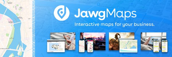

Jawg Maps
@jawgio
Followers
641
Following
1K
Media
708
Statuses
2K
The French start-up revolutionizing maps! 📍Geocoding 🏔 Elevation Data 🚗 Routing 🌍 Maps #OpenStreetMap #OpenSource #FrenchTech
Paris, France
Joined April 2016
Time for a geo-challenge! 🎯.Have you figured out this iconic landmark?.Drop your answer below! 👇. ------.Hint: This unique basilica has been under construction since 1882.

1
0
0
Need simple map integration with powerful support for complex builds? 🤔. Jawg Maps combines ease of use with dedicated expert guidance for any challenge. Straightforward when you want it, robust when you need it. 🗺️

0
0
0

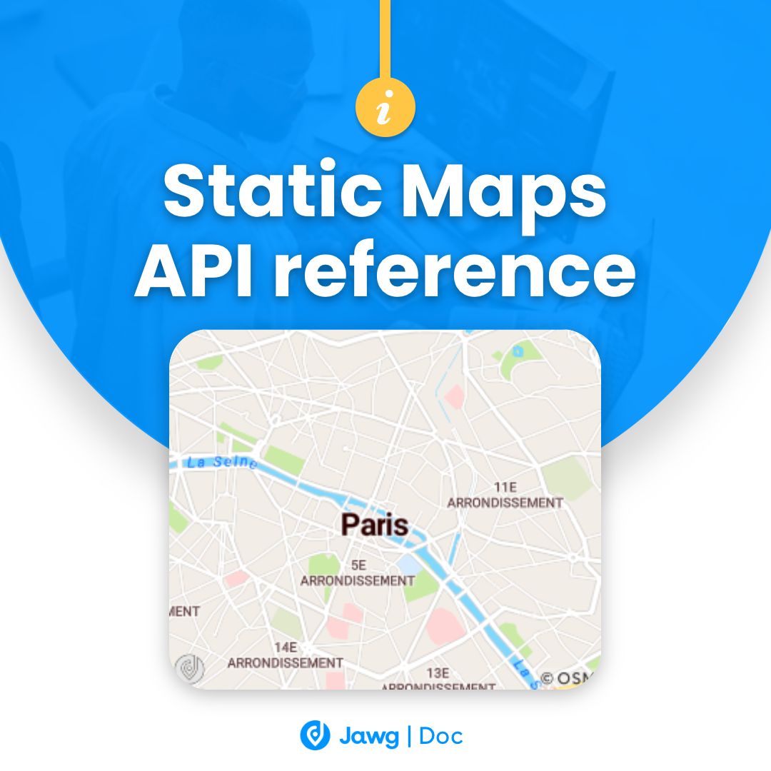
Discover how to easily integrate these lightweight maps into your web architecture to boost the location experience.👉
jawg.io
Jawg Static Maps API reference
0
0
0
If displaying numerous geographic points on your website is slowing down the user experience, Jawg Static Maps provide a high-performance solution by generating optimized images – no JavaScript required 😇
1
0
0
Comment s'assurer que la formation universitaire colle aux réalités du terrain et aux technologies d'aujourd'hui ? 🤔 Notre CTO apporte sa pierre à l'édifice !. ➡️ Un retour d’expérience enrichissant qu’on vous invite à lire ici 👉

0
0
0
25,000 FREE map views to test our APIs! ☁️. Our Basic plan lets you discover the full power of Jawg Maps with no commitment. Perfect for validating your POC before scaling up 🚀.👉

0
0
0
Understanding these limitations isn't just academic - it affects everything from navigation apps to how we perceive our world 🌍.What's your preferred trade-off in mapping: accurate sizes or preserved shapes?.
0
0
0
Look at Greenland on a Mercator projection — it appears almost as large as South America! In reality, South America is about 8 times larger than Greenland. This dramatic distortion happens because Mercator preserves shapes at the expense of accurate area representation.
1
0
0
It's mathematically impossible to create a perfect 2D map of Earth. Every projection is a compromise, carefully chosen based on what properties matter most for your specific use case ✅.
1
0
0
The eternal challenge: how do you flatten a sphere? 😬.This fundamental problem makes mapping our world both an art and a science. When creating a 2D representation of our 3D Earth, something must always be sacrificed .👉 whether it's accurate sizes, shapes, or distances. 🧵

1
0
0
The best way to build effective solutions is to understand what you're working with - our white paper opens the door to the world of mapping APIs!. Master the essentials by downloading our free white paper today 👉

0
0
0
Check out for practical tools and code samples to enhance your geospatial projects. Our repositories include demos and integration examples. 😇
0
0
0
🗺️ @neweuropetours made city exploration effortless!. From meeting points to tour routes, they use Jawg Maps to guide travelers through unforgettable walking tours across Europe, the Middle East and USA. 🌍

0
0
0
🗺️ The eternal mapping debate: @maplibre GL JS with WebGL power and vector tiles, or @LeafletJS with its lightweight approach and plugin ecosystem?. Both work seamlessly with our Jawg Maps styles. Which do you prefer for your projects? 👇

0
0
0
Ptolemy's map underestimated Earth's size by nearly 30%! 😳 .This error convinced Columbus his westward voyage to Asia was shorter. Would he have sailed knowing the true distance? 🤔 .Sometimes, mistakes lead to unexpected discoveries! 🚪🔎
0
0
0
🏢 Make your maps pop with Jawg's 3D buildings! .Visualize property heights, create immersive urban dashboards, or add depth to location analytics! .Perfect for real estate developers, urban planners, and data analysts. 👉 Create your free account today @

0
0
0
🏢 Native Spaces a réduit ses coûts de cartographie de 70% grâce à Jawg Maps !. Découvrez comment cette plateforme de location de lieux pour événements a transformé son expérience cartographique tout en économisant plusieurs centaines d'euros par mois 👉

0
1
0