
geospatial
@geospatial
Followers
962
Following
1
Media
1
Statuses
250
Maker of maps, lover of geography, designer of information & dataviz, and life-long computing geek.
The West
Joined November 2007
Why It’s Time to Shed Some Light on History’s ‘Dark Ages’
time.com
The period is good and bad, transparent and opaque, only hazily understood—but ultimately the opposite of what we want our modern world to be
0
0
1
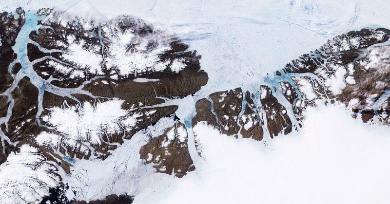
An animated map shows humans migrating out of Africa to Asia, Europe, and the Americas.

education.nationalgeographic.org
Media refers to the various forms of communication designed to reach a broad audience.
0
2
4
I love QGIS 3.x. But the new problem where I get tons of prompts to "select transformation for converting coordinates between two CRS's" for most layers in every one of my QGIS files makes the app feel broken. Is it GDAL's fault? QGIS? This is an earthquake for the ecosystem.
0
1
2
Our Planet May Be Barreling Toward a Tipping Point
wired.com
A thawing Antarctica, a transforming Amazon, and other devastating changes may be more likely than scientists previously believed.
0
0
0
Meet “raw” water—ludicrously priced unfiltered water with random bacteria

arstechnica.com
With pricing as high as $6 per gallon, company claims health benefits without data.
0
0
0
Russian agents hacked US voting system manufacturer before US election – NSA report
0
1
0
CNN legal analyst: Trump’s ‘nut job’ remarks to Russians are ‘very close to a confession of obstruction of justice’

rawstory.com
CNN legal analyst Jeffrey Toobin said on Friday that what we now know about President Donald Trump's remarks to a Russia delegation in the Oval Office look "very close to a confession of obstruction...
0
1
0
The Long, Twisted, and Bizarre History of the Trump-Russia Scandal: a timeline https://t.co/6tISTQgcIS
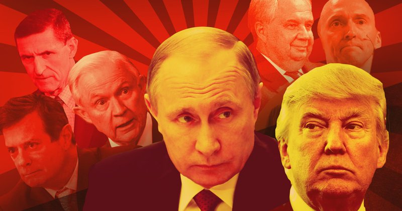
motherjones.com
Here’s the timeline you need to keep track of the controversy.
0
1
0
Making Art in a Time of Rage - The New Yorker -

newyorker.com
Under Trump, should artists carry on nobly defying the ruination of public discourse? Or seize on a new mission, abandoning the illusion of aesthetic autonomy?
0
0
0
Explore an Eerie Soviet Base at the Edge of the World
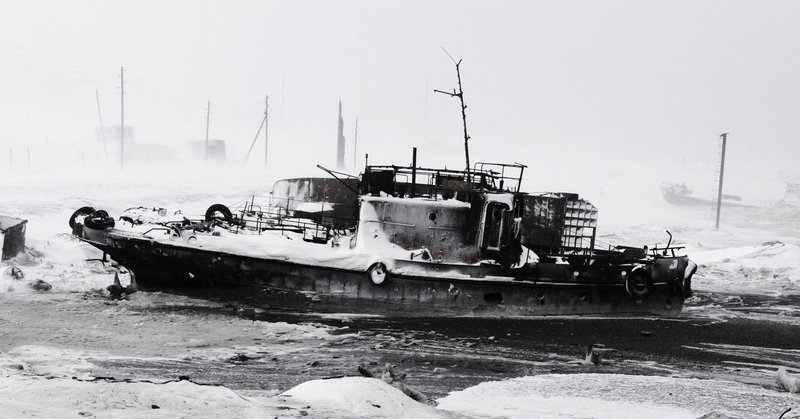
wired.com
Photographer Andrey Shapran discovered abandoned planes and ships in near polar darkness.
0
0
0
Here Are the Real Boundaries of American Metropolises, Decided by an Algorithm https://t.co/mAqw5bbtvY
0
0
1
Redrawing the map: New tools create a niche for the cartophile https://t.co/DXcwrukcvk
0
0
0