

Sanghee Shin
@endofcap
Followers
702
Following
3K
Media
568
Statuses
5K
Founder, CEO of Gaia3D. Chair of International FOSS4G Seoul 2015. 3D GIS, BIM, Digital Twin, Open Source.
Sejong, Republic of Korea
Joined June 2009
#mago3DTiler Ver 1.13.0 has been released! mago3DTiler, an open-source converter for OGC 3D Tiles, now officially supports:.- OGC 3D Tiles 1.1 specification.- ECEF (Earth-Centered, Earth-Fixed) coordinate tiling.- And more improvements and fixes. Visit:


0
3
6
Honored to speak at InterRegionalDialogue2025 in Kobe, co-hosted by TCS & UNDRR. I shared Gaia3D’s digital twin-based disaster management cases & highlighted the value of OpenStandards, OpenSource, OpenData for building resilience.
0
2
3


We’re honored to receive the Technology Award at the Korea Spatial Information Society Spring Conference! At @Gaia3D, we go beyond tech development, we share what we build through open source, open standards, and collaboration. Thanks to KSIS for the recognition!

0
0
3
I promoted #FOSS4G Horoshima 2026 conference to the faculty of Hiroshima University at ISRS 2025 confernece! .@mapconcierge @wata909

1
2
7
When you bring together a 1m DEM, building models, point clouds, 25cm orthophotos, and a 3D forest map.

0
0
10
Nationwide Forest Digital Twin with #mago3D! My team at @Gaia3D has reconstructed a nationwide forest digital twin using the 1:5,000 National Forest Map published by Korea Forest Service. Converted 2D forest data into @opengeospatial 3D Tiles.
0
0
4
Our team at Gaia3D developed new algorithms to boost efficiency in triangle reduction and geometry simplification for realistic mesh processing in #mago3DDTiler, and the results speak for themselves! .#3DTiles
0
0
1
We replaced simple tree models with detailed 3D ones for individually mapped ones. Now you can see real tree shapes, heights, and attributes, right in your browser with CesiumJS + mago3DTiler. #DigitalTwin #CesiumJS.
2
1
8
In our forest digital twin, you can simply click on a tree to retrieve its attributes and even colorize them based on their properties. A step closer to smarter forest management! It's all web-based using CesiumJS and mago3DTiler(.
0
2
8
(Yesterday).Me:"Why are we only seeing one type of broadleaf tree in forest digital twin?".Colleague:"Give me a moment.". (Today).He comes back with a fully visualized forest digital twin, classified by tree type and tree height using a 1:5,000 scale national forest map!


0
2
9
Experience the power of mago3DTiler & mago3DTerrainer—visualizing a 5m DEM, 25cm ortho imagery, and 1 million trees in stunning detail!. mago3DTiler와 mago3DTerrainer를 이용해 1백만 그루 나무를 심어 전 국토 디지털트윈에 새 생명을 불어넣어 보자!


0
1
3
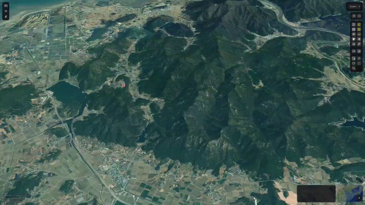
Another experiments from Gaia3D’s research lab! We've extended Cesium.js to simulate water dynamics - water flows, accumulates in a dam, overflows when full, and even rushes out when the dam collapses. You can also see the amount of the outflow water.
0
0
3
Point clouds bring digital twins to life! They add rich visual detail and valuable context, making the experience even more immersive. I’ve visualized this on a 1m DEM, 25cm orthophoto, and an extruded 3D building digital twin using mago3DTiler!(


0
0
3

Open source #mago3DTiler was used to convert 2cm orthophotos, point clouds, and realistic mesh data into OGC 3D Tiles for web-based services. The original data was created by GISTDA of Thailand through drone surveys.
0
0
2


