

Soar
@Soar_Earth
Followers
7K
Following
2K
Media
1K
Statuses
3K
Welcome to the new atlas. 🗺️ Explore at https://t.co/wN2Ui7lVnZ
Earth
Joined February 2018

An amazing historical map of Los Andes! 😍.

La version interactiva la pueden ver en
0
0
4
We now have more imagery added to Soar from @Maxar covering the #TexasFloods. The destruction shown in the before and after through the transparency slider really puts into perspective how devastating these events can be.
0
1
3
RT @Harry__Stranger: We also have @NOAA aerial imagery starting to roll in following the Texas floods. This scen….
0
2
0


@Maxar Zooming in on this specific area, we can observe a structure, possibly a small dam or retention basin, that appears to have been overwhelmed. Events like this highlight the limits of infrastructure under extreme weather conditions and the growing challenges of managing storm
1
0
5
@Maxar Once again, we can clearly see widespread damage to the vegetation lining the river. Trees that once stood tall along the banks now appear broken, uprooted, or completely missing. The ground, previously covered in green, now shows large patches of bare soil, a strong indicator of
1
0
3
Thanks to @Maxar for another look at the #TexasFloods. We believe this data should be viewed by everyone, so again, we’ve added it to Soar to be easy to explore. Explore the full map: Here’s some closer looks… 🧵 [1/4]

1
2
15
While this imagery is difficult to look at, knowing the lives this flood has taken, it’s important that this data is accessible for everyone to learn from. If you notice something we’ve missed, feel free to share. We’re grateful to @Maxar for making this public, and we’ll keep.
0
0
3
On a small island in the river, you can see a line of flattened trees. We don’t yet know the full impact on local wildlife, but changes like this will be felt for some time. Riparian zones like this one are home to species such as herons, turtles, and deer, all vulnerable to
1
0
3
This area here is Camp Mystic. You’ll notice a number of vehicles, likely part of the ongoing recovery and search efforts. Emergency crews and volunteers have been working around the clock. Texas officials confirmed over 300 rescues were carried out during the peak of the
1
0
3
Following the river’s course, sections of land have clearly been scoured by floodwaters. In one area, the sand appears to have been pushed up and dried out completely, leaving behind a barren patch. Flash flooding like this can erode topsoil within hours, displacing years of
1
1
2
In some areas of Texas, floodwaters reached speeds of 10–12 mph, strong enough to uproot mature trees and reshape riverbanks. One of the first things we spotted were trees on the right, uprooted and dragged downstream. The river itself runs a deep, muddy brown, signs of sediment
1
1
4
The recent #TexasFloods have been devastating. Thanks to new satellite imagery from @Maxar , we now have a clearer view of some of the damage. However, these files can be hard to access for most people, with complex tools and file types. We believe this data should be viewed by

1
2
7
RT @Harry__Stranger: A recent check-in on China's Wenchang Space Launch Site using an @umbraspace SAR satellite on July 5 @ 03:40:48 UTC.….
0
5
0
RT @ResindScientist: بمباران فرودگاه آموزشی تفریحی آزادی، آبیک قزوین، در روزهای اول جنگ بین ۱۳ تا ۱۵ جون. ظاهرا تمام هنگرهای نگهداری هواپ….
0
5
0
RT @Harry__Stranger: You can easily browse and interact with the full resolution image on @Soar_Earth here: https:/….
0
2
0
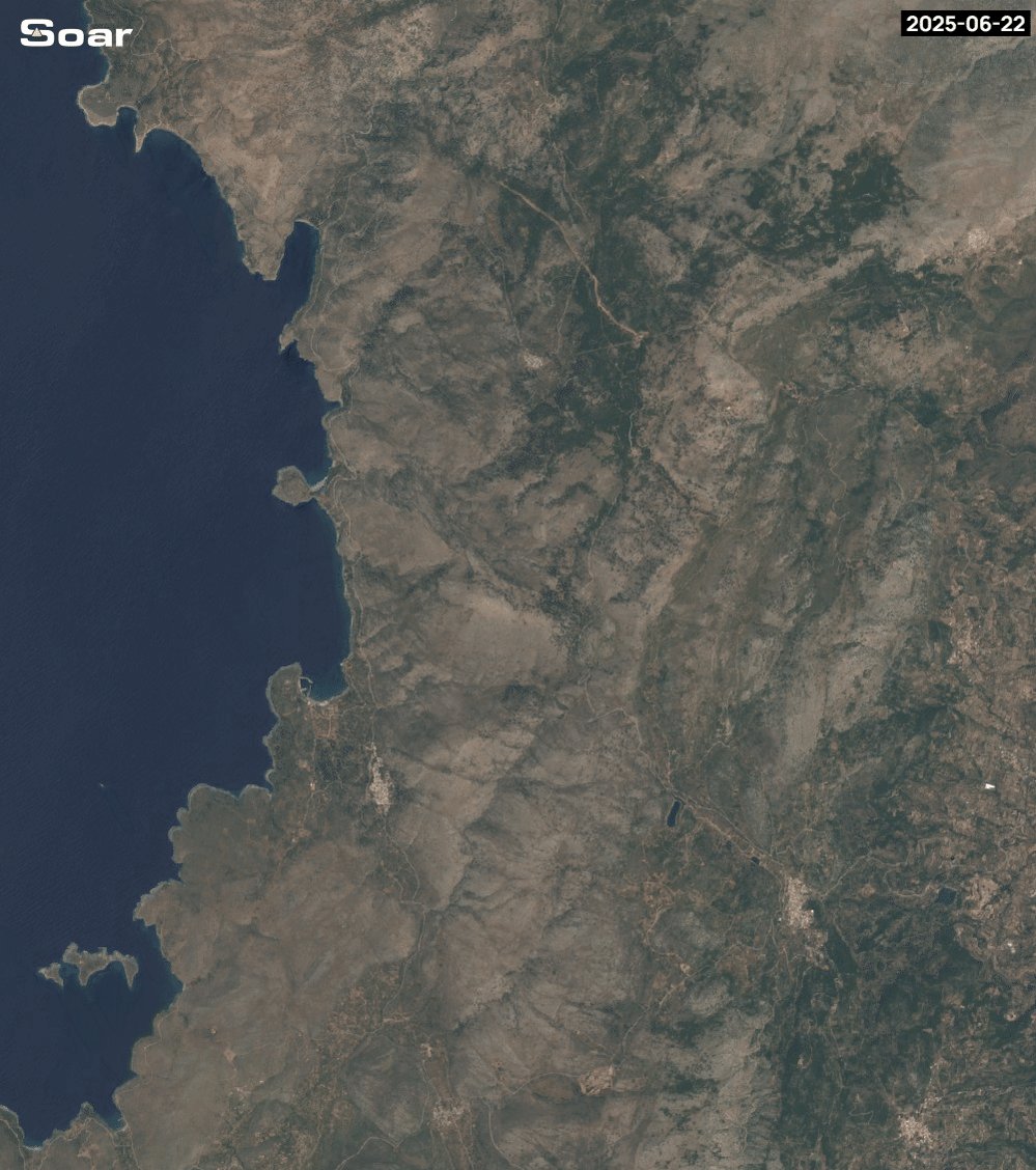
Check out the burn scars on the Greek island of Chios following a massive wildfire last week! Using Soars GIF maker we can see the fire progress and the aftermath in Enhanced Natural Color. 🔥. Visit the area on Soar:.

0
1
12
Lagunas Bravas, Chile, before and after a snowy surprise. ❄️☃️ Made in seconds with Soar’s new GIF tool. Compare, zoom in, and explore the change from space!. Visit the area on Soar:.
1
0
3