RUGeospatial
@RUGeospatial
Followers
213
Following
1K
Media
199
Statuses
1K
Dept of Geospatial Science at Radford University
Radford, VA
Joined September 2015
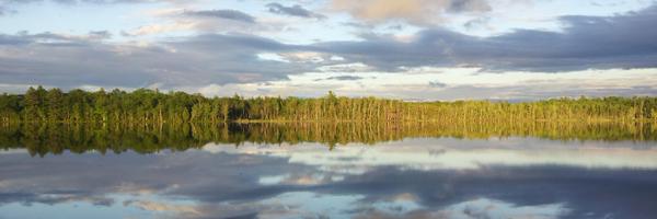
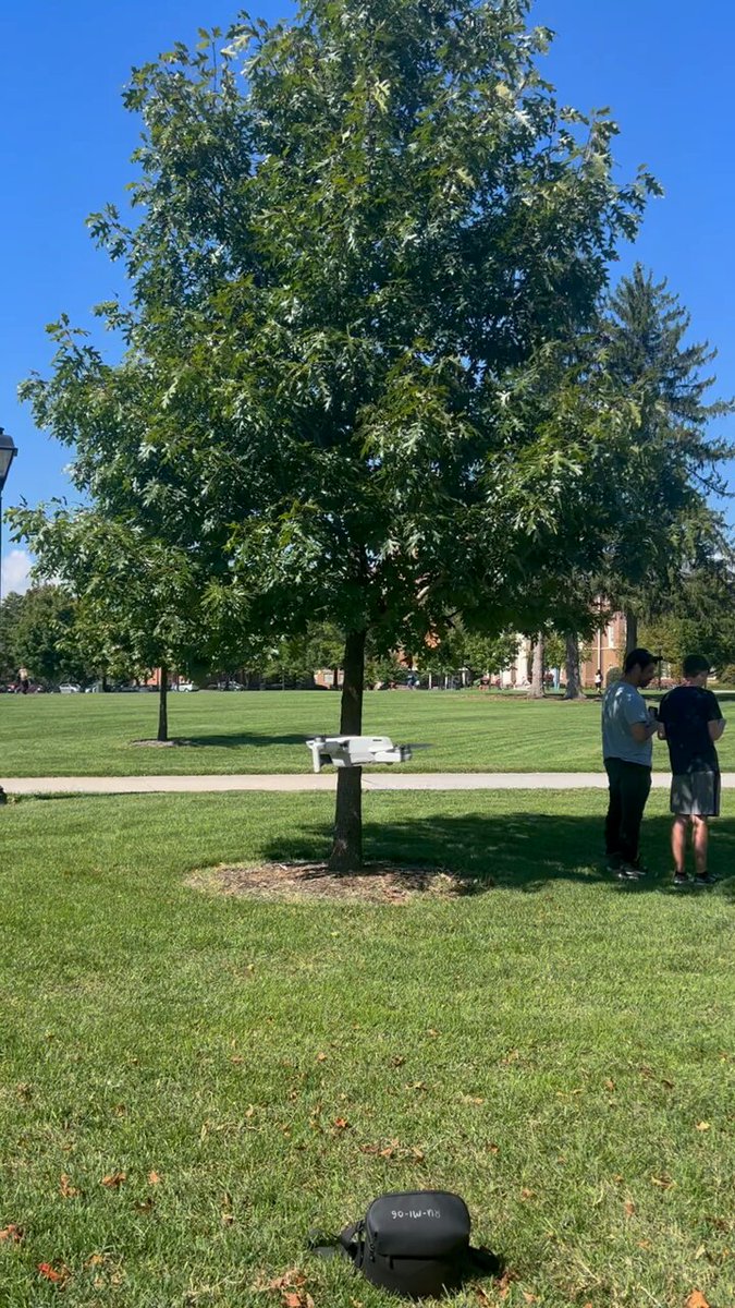
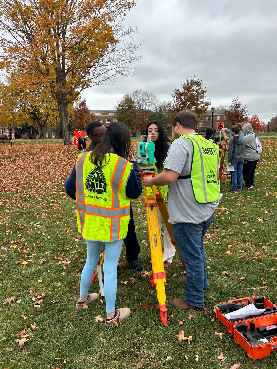
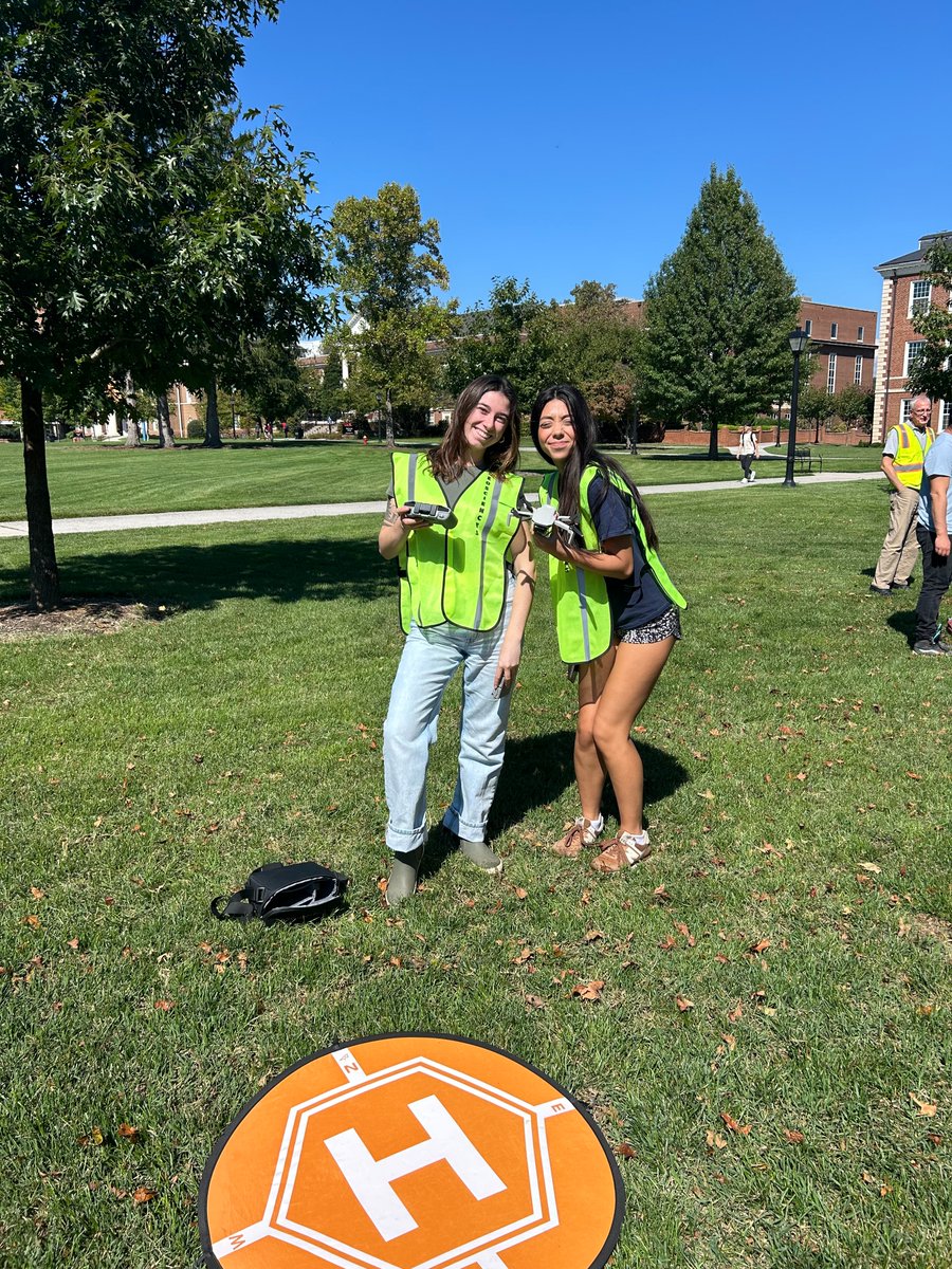
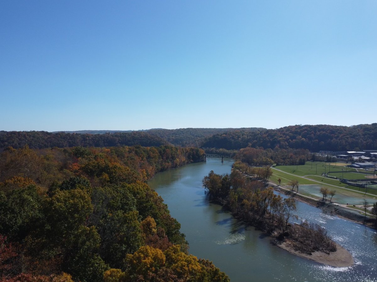
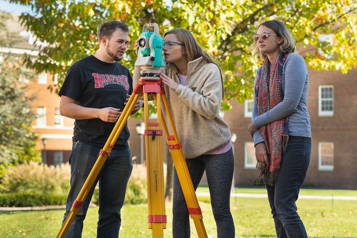
Throughout the semester, Field Research Methods (GEOS 490) has been using various data collection techniques such as drones and total stations! . The last image was taken with a drone over the New River. 🌎
0
0
0
Did you know that GIS can be used to predict environmental hazards? This article shows the Chesapeake Bay team using ArcGIS Pro to analyze areas that would be most affected by a 2.5 ft sea level rise! .

esri.com
Crisfield, Maryland, has high flooding risk. A digital twin, built with ArcGIS technology, is helping to assess flood adaptation strategies.
0
0
0
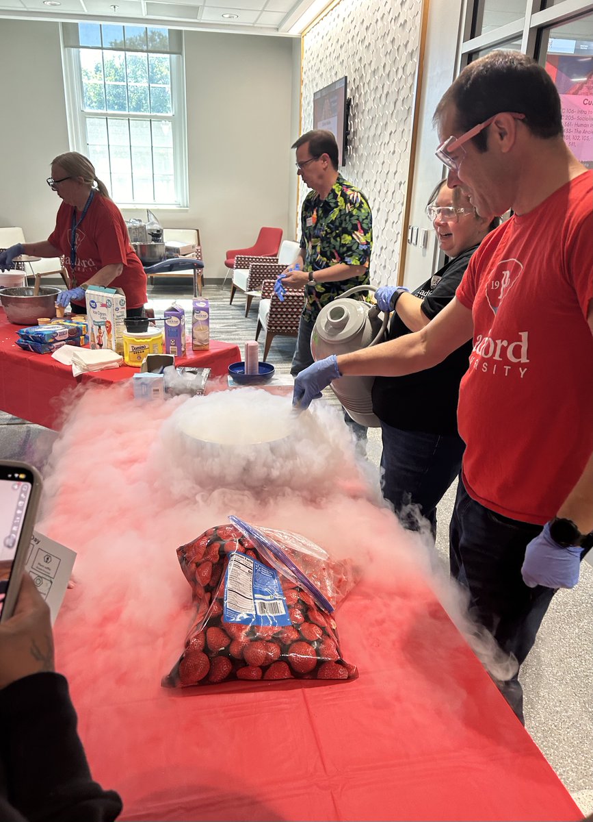
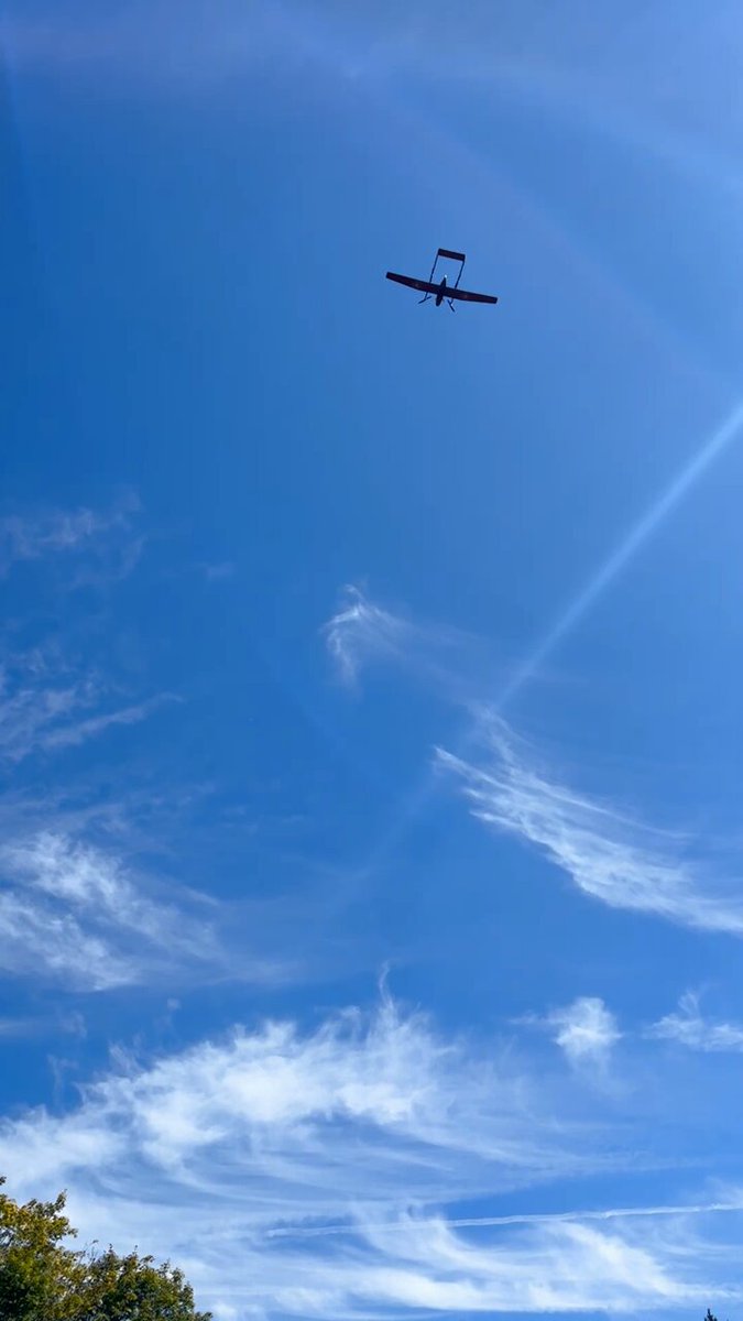
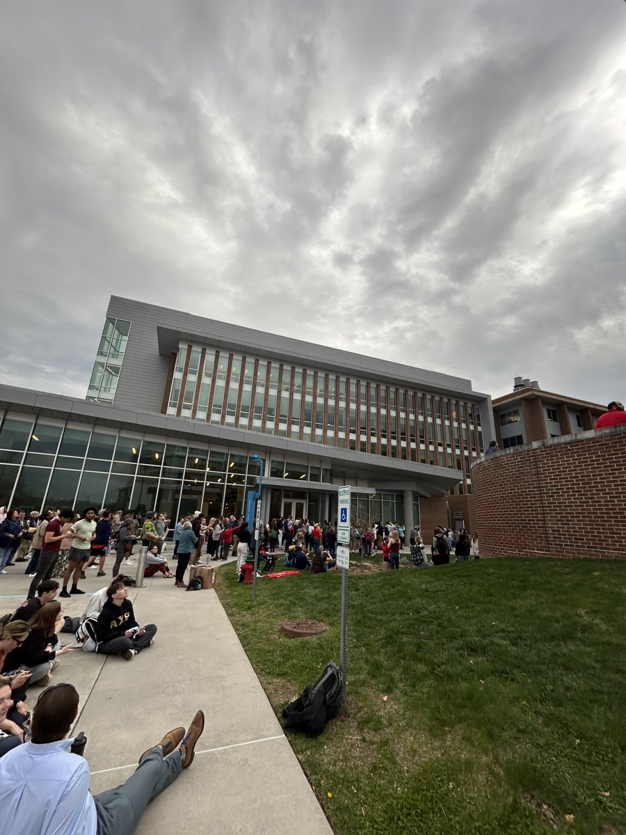
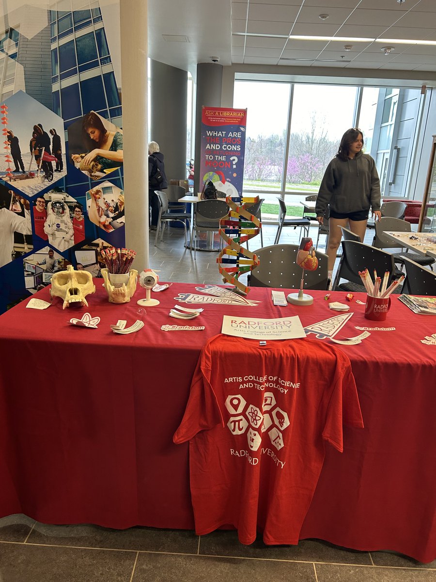
What an amazing way to kick off the new school year! This years Science Expo had a variety of activities, from liquid nitrogen ice cream to flying drones or visiting the planetarium! 🌎
0
0
0
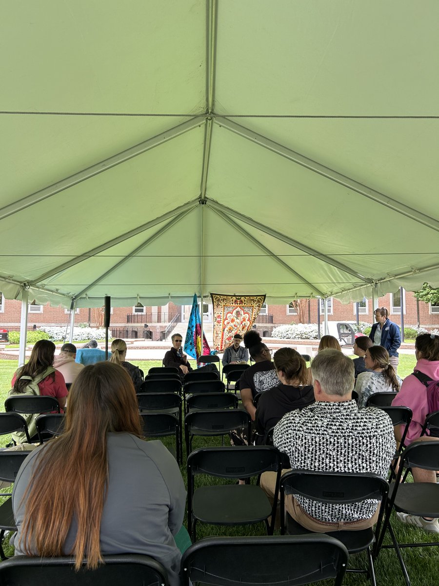
Recap of Earth week! There were so many amazing opportunities around campus all week.🌱🌎 Now time for finals week!
0
0
0
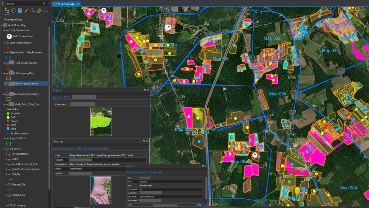
Check out how this farm in Pennsylvania is using GIS to manage field harvests, treatments and new crop locations!.
0
0
0
Studying for final exams can be stressful and exhausting! Make sure to balance your mental health wellbeing as well as your academic wellbeing! Study hard, and also take time to rest your brains!
0
0
0
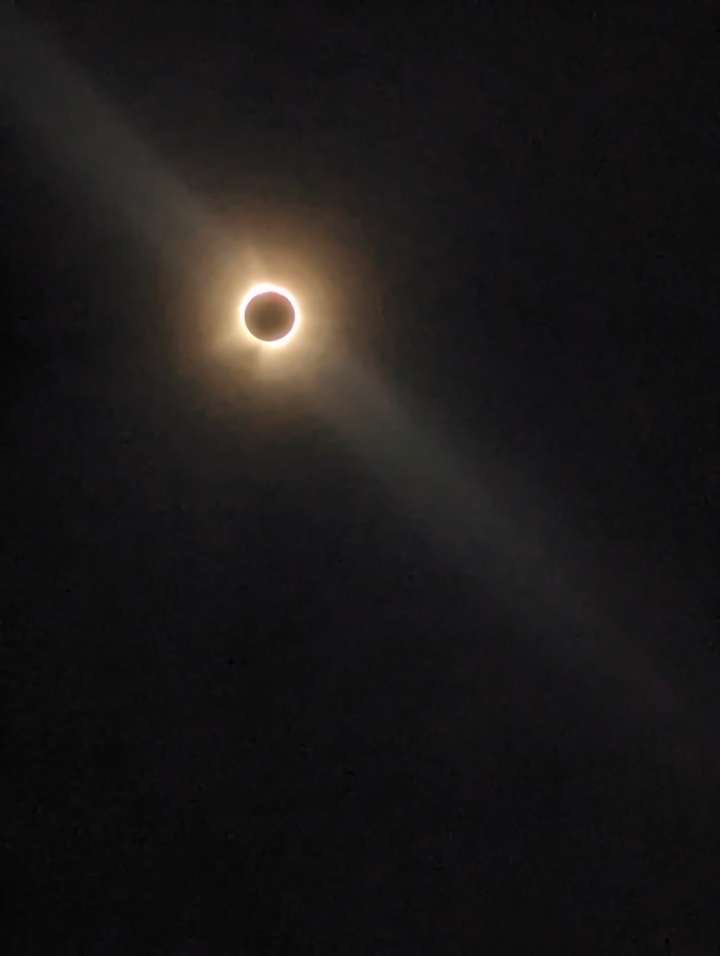
Radford University is hosting an Eclipse viewing event near the Planetarium today! The third image is of the eclipse which was taken by a student at Radford University :)
0
0
1
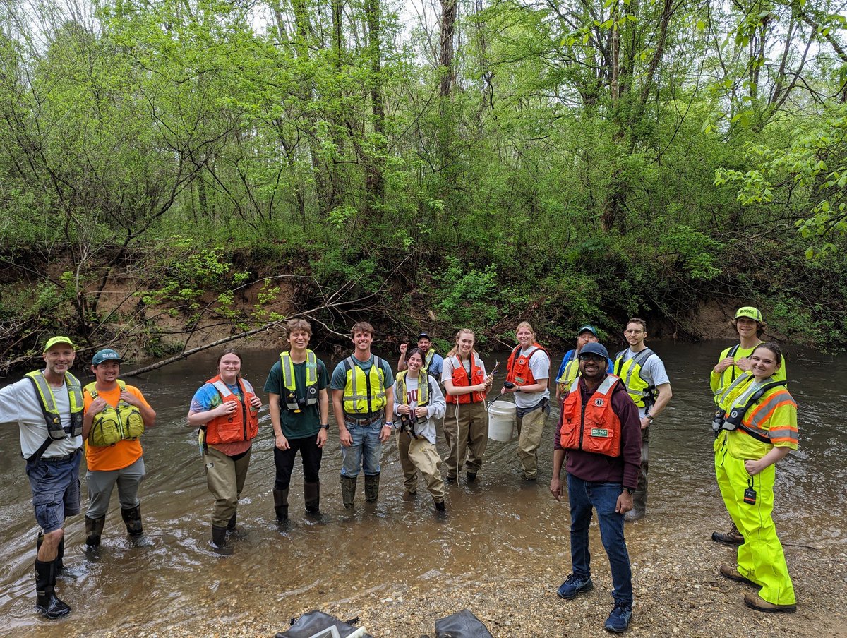
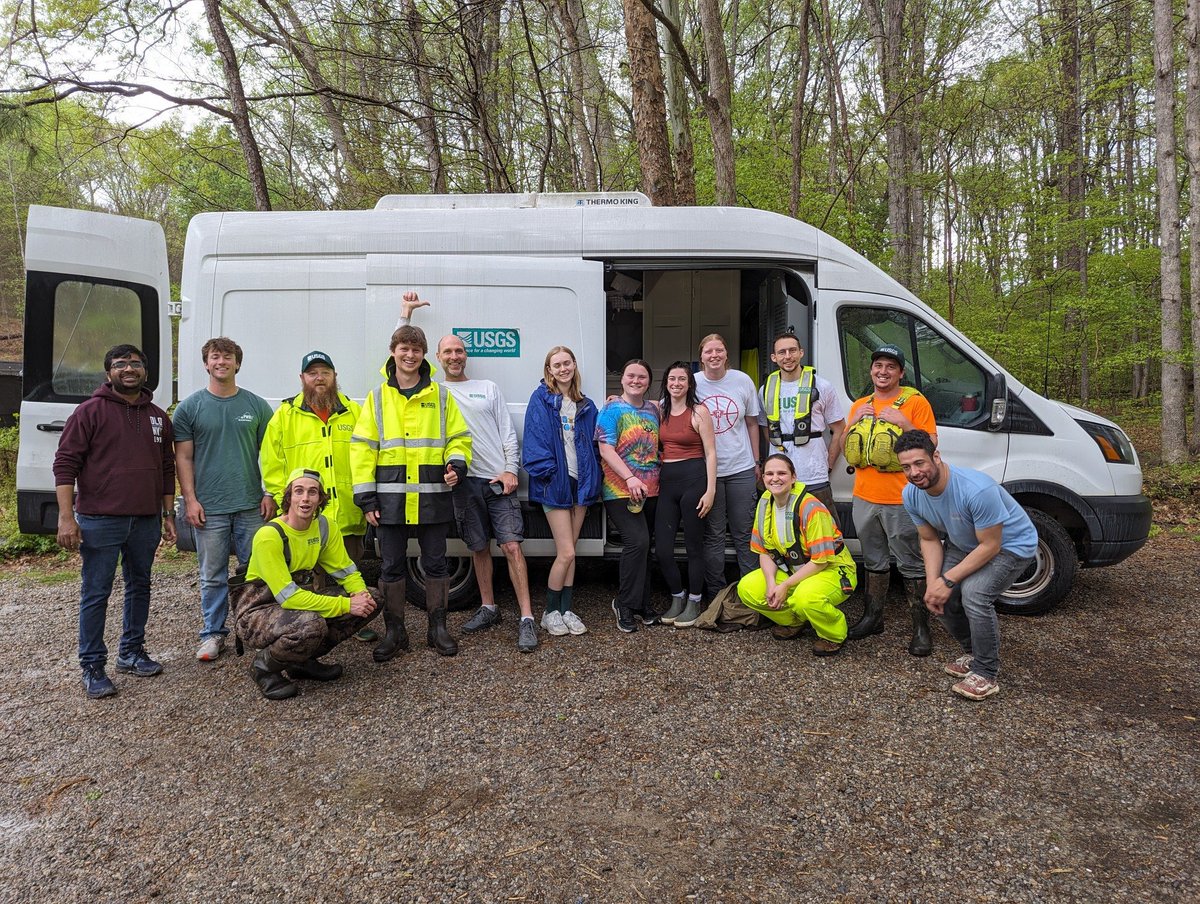
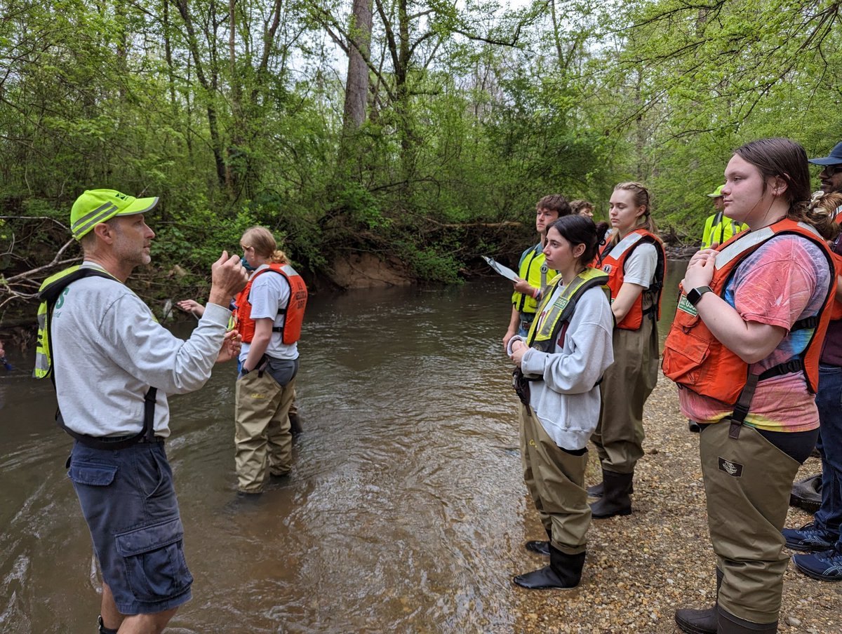
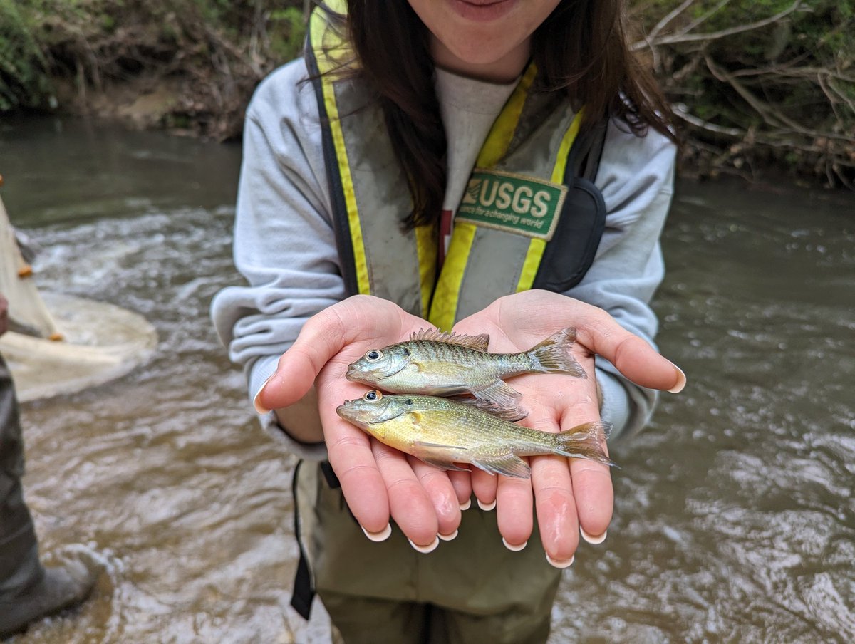
This week, geospatial students from the Water Resources course traveled to the USGS Site in Raleigh, North Carolina. While there, students collected and sampled water, practiced fishing methods, and calculated water discharge with velocity and depth!
0
0
2
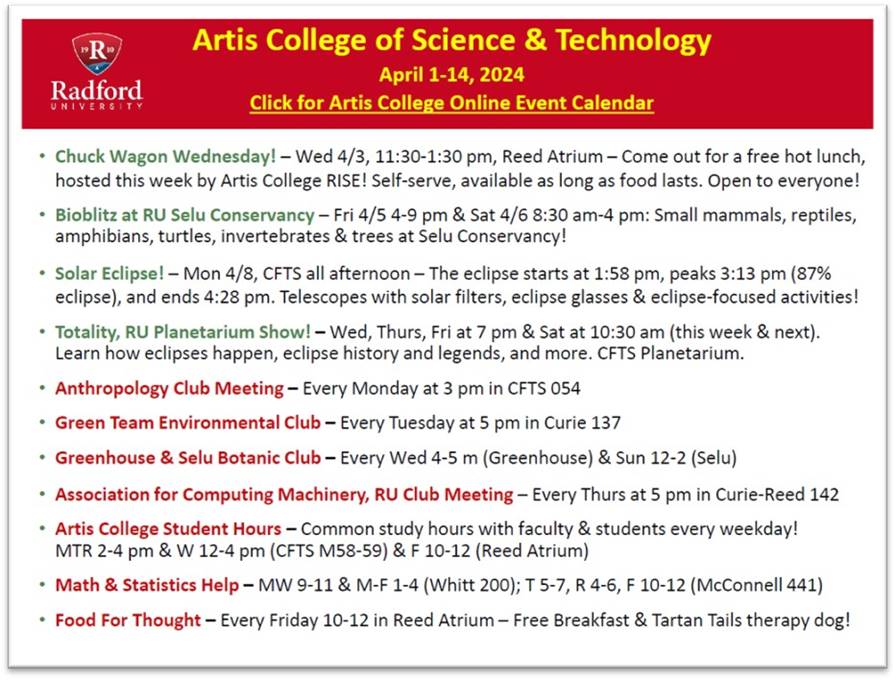
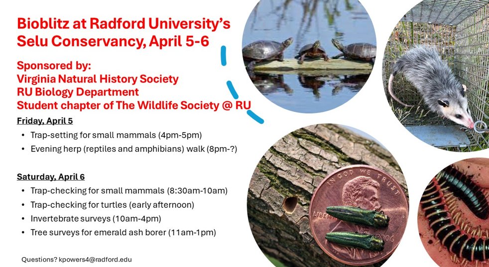
Come out to Radford University's Selu Conservancy for Bioblitz on April 5th and 6th! There are different activities going on throughout the day to fulfill your biological interests!
0
0
1
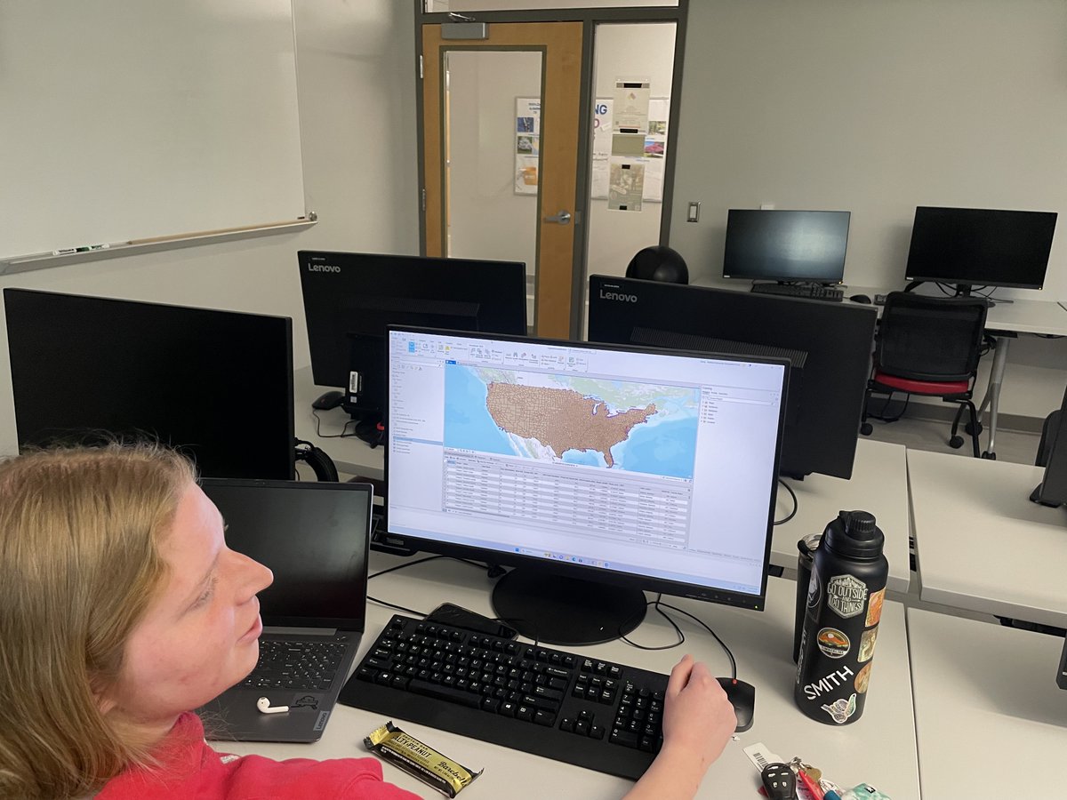
Geospatial Students Emily and Kevin hard at work in the Spatial Analysis Lab

0
0
0
Hi students! As the summer is approaching, be sure to keep an eye out for summer internship opportunities. Internships are a great way to gain experience and employer connections! Check out the Radford website link for some help.
0
0
0
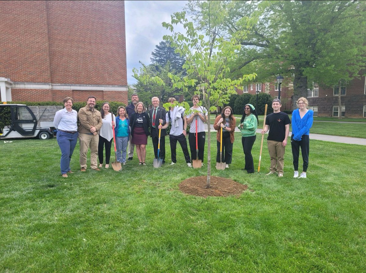
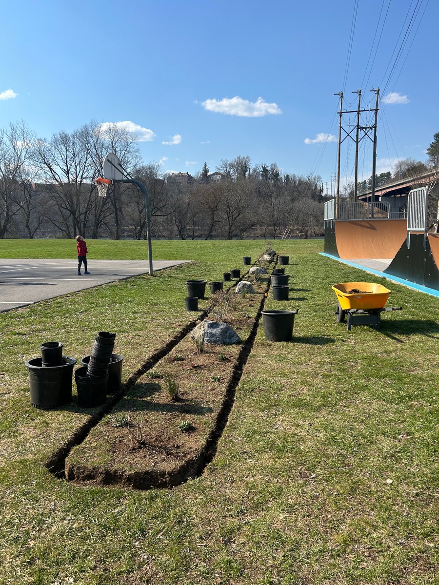
The Flora of VA class took a lab trip down to Bisset park to help the Radford City Horticulturists plant a native species garden/barrier between the new basketball court and skate park! #nativespecies
0
1
2
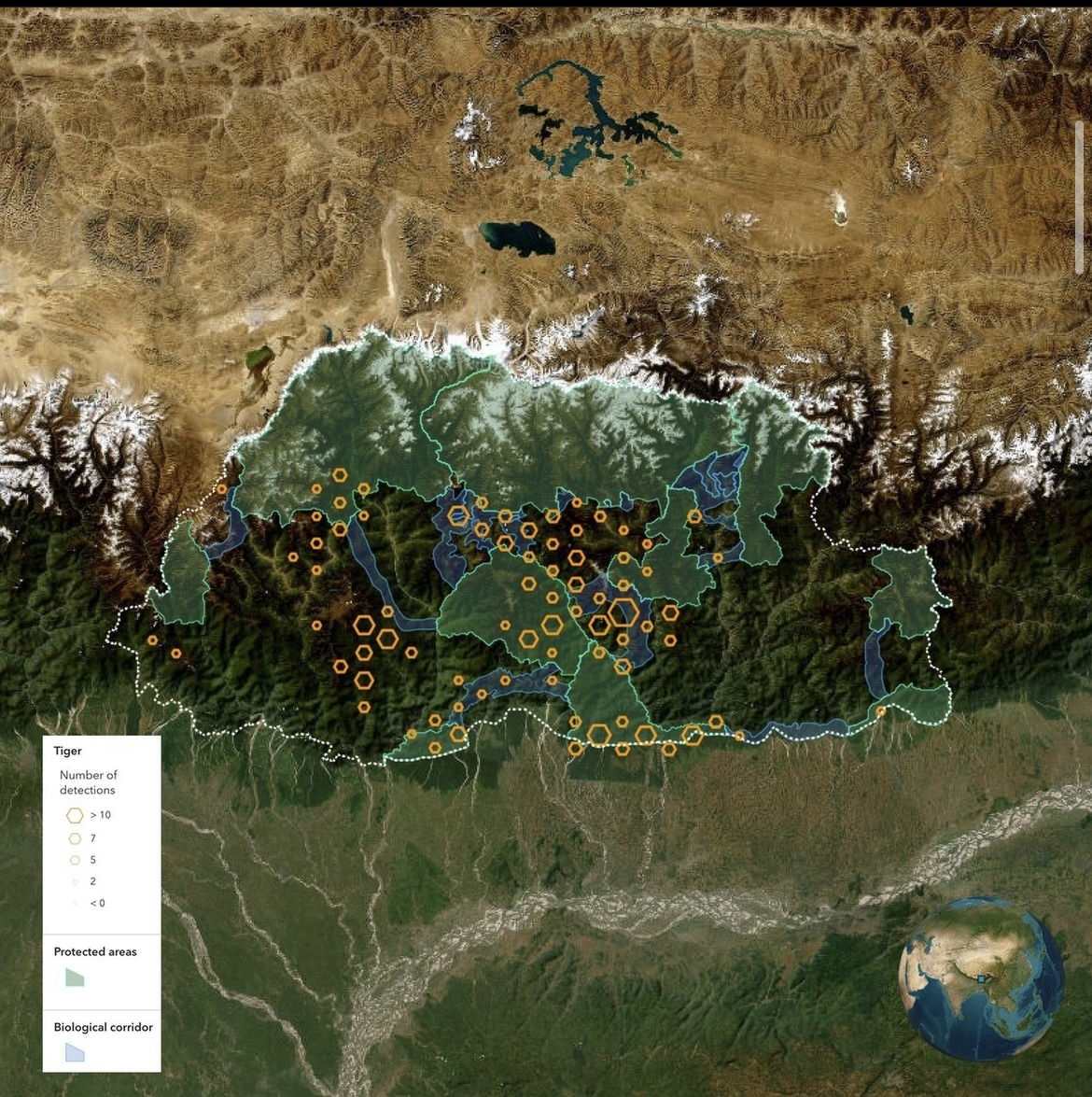
March 3rd was world wildlife day! This wildlife conservation map shows Bhutan, a hotspot for biodiversity and a home to the royal Bengal Tiger. This map was a finalist in the 2023 ArcGIS Story Map competition by Esri!
0
0
0
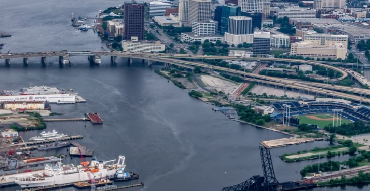
Check out how Virginia is using GIS to visualize and analyze relevant data for rebuilding a 3.5-mile bridge in Hampton Roads! .
0
0
0
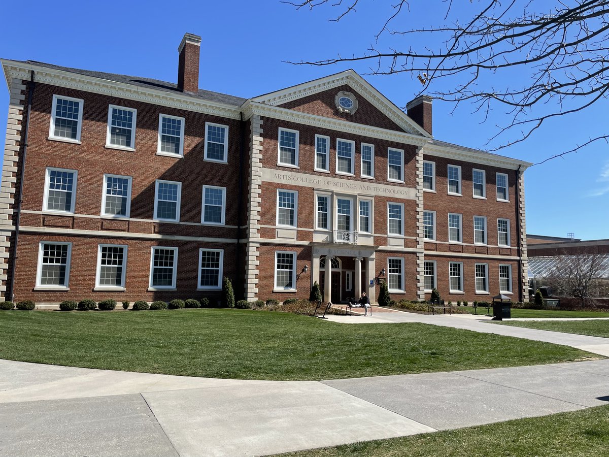
Rainy day here at Reed Hall. But don't let that dampen your spirits. Only one more week til spring break.
0
0
0
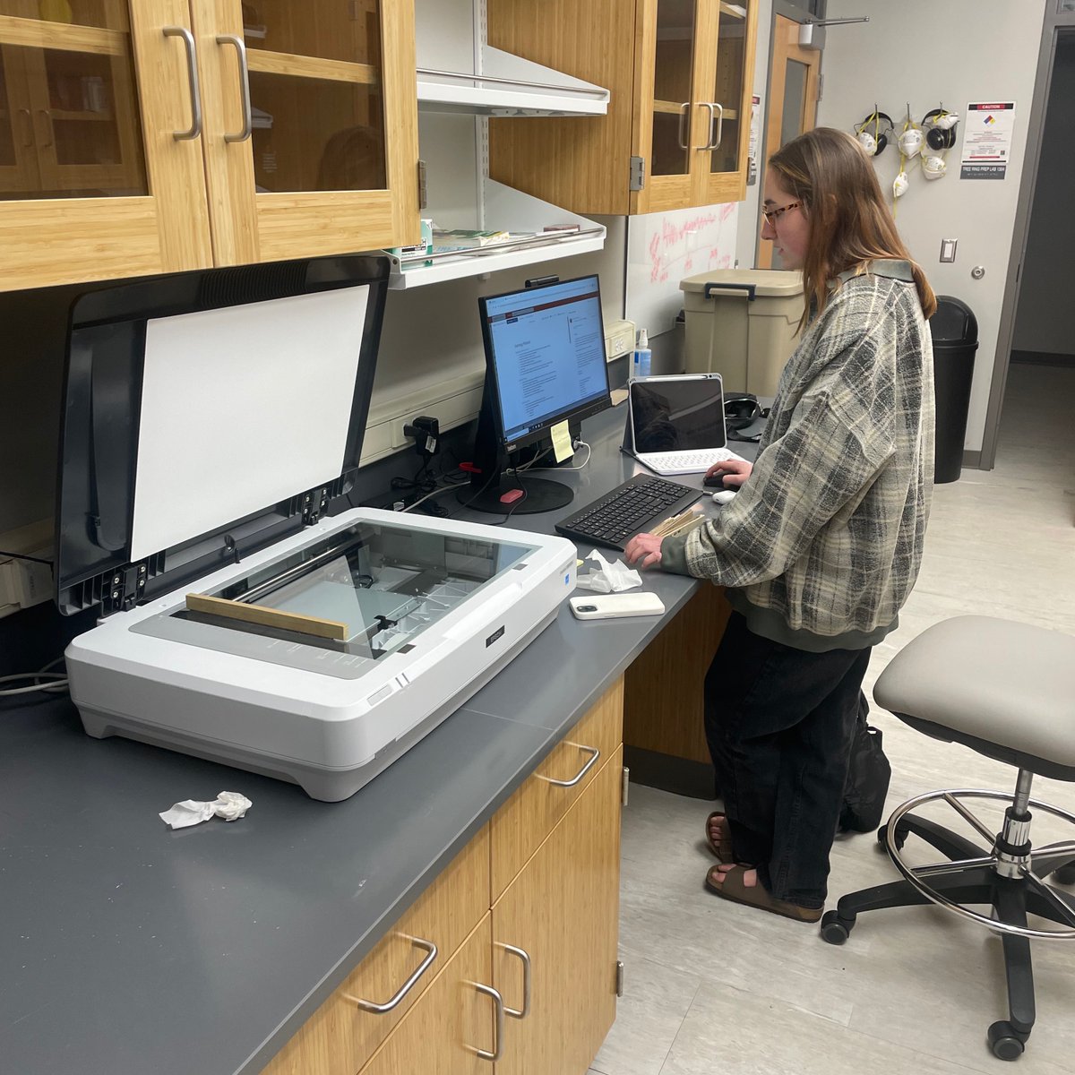
Freshman Kiara working in the Tree Ring Lab. If you're interested in tree ring research get it contact with Dr. Maxwell
0
0
1
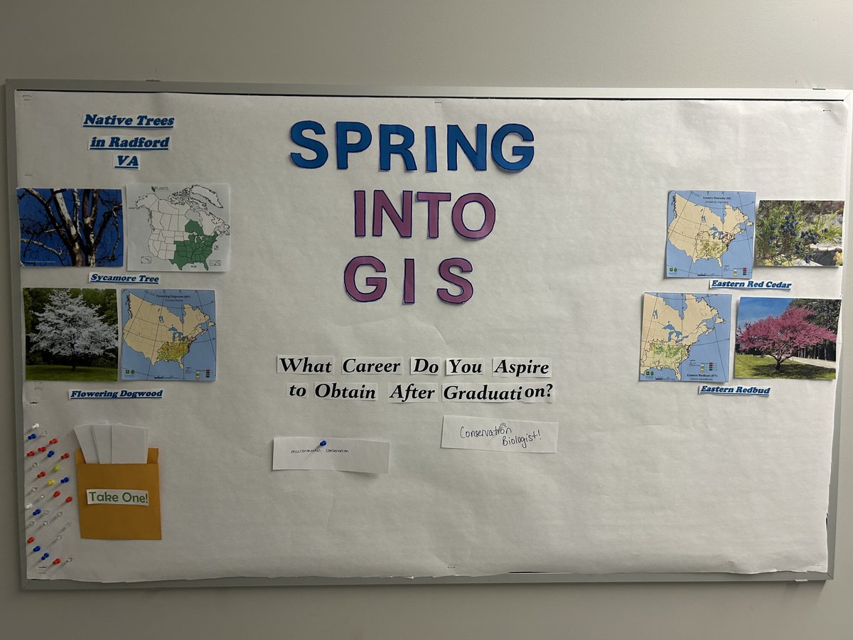
As a new season approaches, so has the new Bulletin Board! (Right outside of Lab 136 Reed Curie, in the Geospatial Hall!) Stop by the board to check out some trees that are native to Radford VA, or write down a career you've aspired to have after graduation!
0
0
0
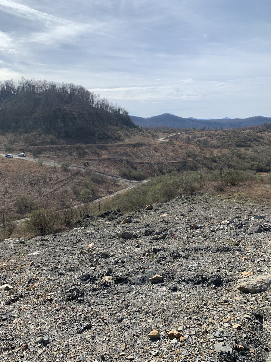
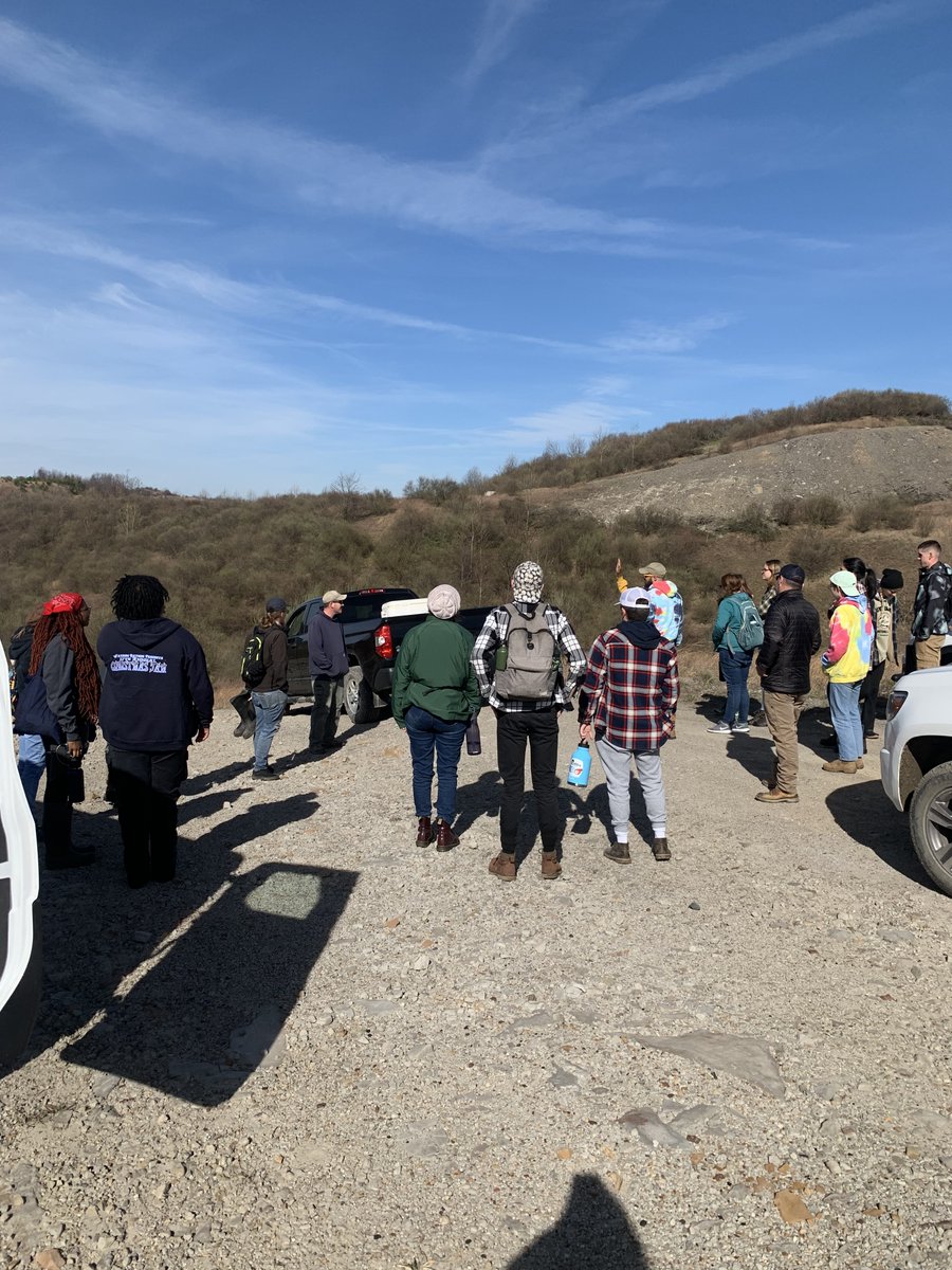
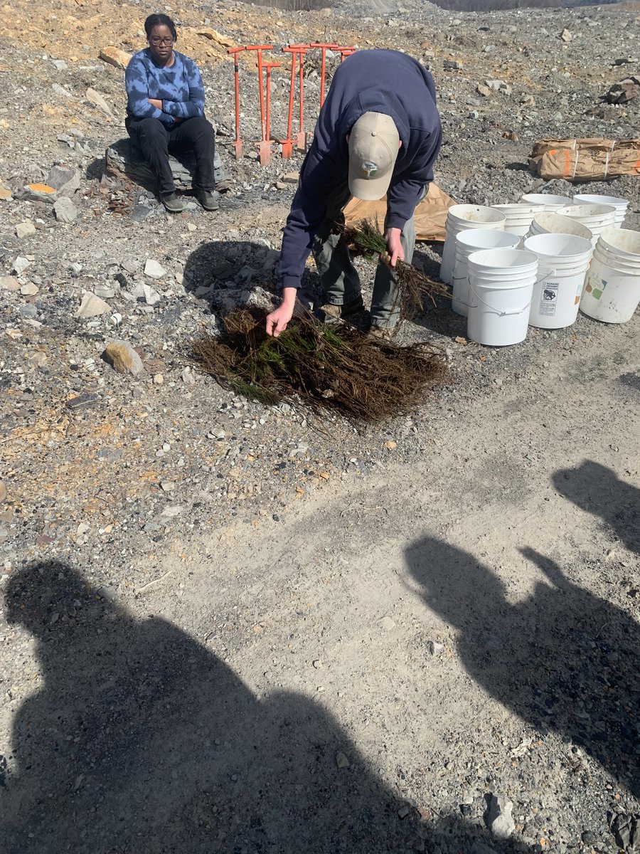
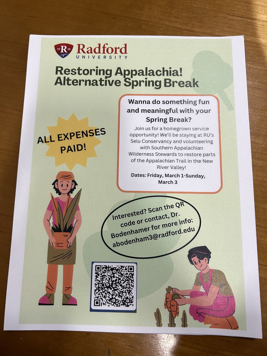
Interested in conservation but don't know where to start? Check out this spring break trip that covers all expenses!. The images attached are from last years "Alterative Spring Break" where students planted native tree saplings to restore an old mountain top removal site.
0
0
1