

Promap
@Promap
Followers
2K
Following
425
Media
843
Statuses
4K
Promap is the fastest, easiest and most reliable system for instant Ordnance Survey mapping. Part of Landmark Information Group.
United Kingdom
Joined March 2009
As well as saving considerable amounts of time per project, Land & Water also credits DUOP with bringing greater certainty and less risk to its site due diligence procedures. Find out more:

0
0
0
Our new report analyses regional variances, application types, large planning applications located in a flood zone, & the spread of local amenities at a local authority level to present a snapshot of the current planning landscape. Download the report:

0
0
1

The most fun image & video creation tool in the world is here. Try it for free in the Grok App.
0
159
2K
Our latest market research explores 2025 trends affecting Developers:. ➡️ Tech trends & data integration .➡️ Impact of new regulations & targets .➡️ Sustainability goals & investment choices. Watch the launch presentation on-demand or download the report:

0
0
0
Our latest market research explores 2025 trends affecting Developers:. ➡️ Tech trends & data integration .➡️ Impact of new regulations & targets .➡️ Sustainability goals & investment choices. Watch the launch presentation on-demand or download the report:

0
0
1
🐣 Chick out our April #MapOfTheMonth! Our eggs-perts found 40 im-peck-able locations for an egg-cellent route across Britain. Hoppy Easter to ewe all! 🐰. Got a challenge that could be solved with #GeospatialData? Contact us:

0
0
0
Our Planning API, powered by Barbour ABI, is set to accelerate smarter, data-driven development. ➡️ Access to rich, quality data.➡️ Integration capabilities .➡️ High searchability.➡️ Full support.Read more: or request a free trial

0
0
1
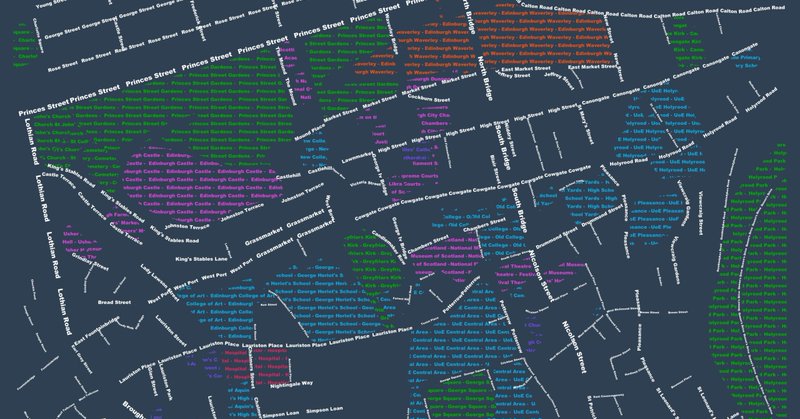
Our #MapOfTheMonth for March celebrates #IWD25 with a map inspired by Carrie de Silva's research, 'Women in Street Names', combined with the OS Open Names dataset, and maps 48 street names that have been named after famous women.

0
0
0
The UK plans 1.5M #NewHomes in 5 years, focusing on brownfield & grey belt land. From 2025, all new homes must meet the Future Homes Standard, cutting #CarbonEmissions by 70-80%. Read more:

0
0
0
We're delighted to have been recognised in the Top 100 Global Geospatial Companies by @geoawesome_dgtl demonstrating the importance of #geospatial data to unlocking value across the land and property sectors.

0
0
0
Join us in London on 13th March for our latest Customer Summit where we'll be exploring the trends emerging in 2025 across planning and infrastructure. Find out more and book your place to join us here:

0
0
0
Fancy a Gingerbread Latte? ☕. For a festive #MapOfTheMonth, we've used #PointX data to locate Starbucks locations, and Ordnance Survey's Multi-modal Routing Network to create a handy map for you to check if you can reach one within a 15 minute drive! .

0
0
2
If you missed any of the maps we shared as part of the #30DayMapChallenge, you can now see them all in one gallery. Take a look and let us know which is your favourite - or set us a challenge for what you'd like us to map next! . View our maps here:
landmark.co.uk
The 30 Day Map Challange is a daily mapping project, which calls on map enthusiasts to create a map a day throughout November, with each day having it's own theme, skill, or dataset you must use.
0
0
1
Introducing Ben Griffith, our Senior Business Development Manager. He takes pride in helping our customers grow, and thrive on delivering solutions that help achieve this. Find out more about Ben, and the rest of the team:

0
0
0
Our phone lines will close 2pm on Thursday 12th December for the afternoon. We then close at 3pm on Christmas Eve. We reopen on Monday 30th December and Tuesday 31st December from 9.30am to 2pm. Normal operating hours resume on Thursday 2nd January.

0
0
0
Introducing our Technical Consultant, Kirsten Reilly. It's her role to provide technical support and innovative solutions that deliver data-driven service propositions to our customers in the ever-changing geospatial world. Find out more about the team:

0
0
0
Get to know the different mapping layers available on #Promap in our latest #TipsandTricks video Don't forget, we host regular #webinars covering all aspects of Promap if you want more support - view the schedule and register:

0
0
0
For 'The Final Map' f the #30DayMapChallenge we celebrate both St Andrews Day & the end of the Challenge with a map of all the Whisky Distillery Visitors Centres in Scotland! Data was extracted from PointX and displayed using a QGIS replica of John Nelson's Draft Sketch style.

0
0
4
Introducing our Head of Customer Experience, Helen Luty. Helen works across several business units and is responsible for our frontline service provision. Find out more about Helen, and the rest of the team:

0
0
0
It's the penultimate day of the #30DayMapChallenge, and today's theme is looking at Overture Maps Foundation data. We decided to create a map that compares Overture, OpenStreetMap, OS MasterMap and OS VectorMap Local. With all the data following similar colours and styling.

0
1
4
Today's #30daymapchallenge is to map 'the blue planet' - all things water. Today's map is a relative elevation model (REM) for the Waimakariri River, just north of Christchurch, NZ. It was created using a LiDAR 1m DEM from LINZ Data Service.

1
0
6
We're micromapping for today's #30daymapchallenge, so have mapped locations of microbreweries across UK & Ireland. The map has been styled in QGIS using Point Cluster symbology, and the basemap has been styled with John Nelson's Watercolour Style recreated within QGIS.

0
0
1