
NICFI Satellite Data Program
@NICFISatData
Followers
1K
Following
590
Media
77
Statuses
471
The NICFI Satellite Data Program is an initiative providing comprehensive access to high resolution satellite data across the #tropical forest regions
Tropical forest 🌳
Joined August 2022
📢 Exciting news! We are delighted to announce that the #NICFISatelliteDataProgram is extended until January 2025. Follow the link for more information 🌍🛰️ #HighResForests
https://t.co/47SK64nwd6

nicfi.no
The agreement with the satellite program providers is extended until January 23, 2025. This extension ensures that users will not lose access to satellite monitoring of tropical forests before a more
1
9
21
🌍Indigenous Peoples as Forest Guardians.🌿 79% of the $1.7B Glasgow Forest Tenure Pledge has been disbursed, advancing land rights in Brazil, Peru, DRC, Colombia & Indonesia and protecting forests worldwide🌱 Read the report here: https://t.co/Q8HJ4DZjK5
0
0
2
🌳 Norway is contributing $60M to Brazil’s Amazon Fund after a 31% drop in #deforestation. Under President Lula’s leadership, #Brazil aims for zero deforestation by 2030, protecting Indigenous people, biodiversity and our planet’s largest carbon storage: https://t.co/NOMkwUocxw
0
2
12
🌿At #COP29, "Finding the Path Together" highlighted the importance of securing forest tenure for Indigenous Peoples & local communities, with insights from leaders like @DavidKaimowitz and @hegerag. 📽️Missed the session? Catch up at 6:30:20 here:
0
1
2
Don't miss the upcoming Global Forest Watch Webinar! 🌎 Mining’s Footprint in Latin American Forests 🗓️ Dec 5, 2024 | ⏰ 9-10:30 AM ET 🎙️ Spanish (English interpretation) 🔗Register here:
0
6
20
🌿 Meet our speakers! 🌿 Join us at 'Finding the Path Together' to discuss how the £1.7B Glasgow pledge is advancing Indigenous land rights as a climate solution 🌎 📅 21 Nov, 16:00-16:45 📍 Nordic Pavilion, COP29, Baku 🔗 Watch live:

norden.org
From 11 November to 22 November 2024 all events from the Nordic COP29 Pavilion in Baku will be live streamed. You can watch broadcasts from all events on this page. Please see the programme for times...
0
0
1
🌲💚Brazil's National Institute for Space Research announces that deforestation in the #Amazon is at a nine-year low! Impacts of environmental policy have been felt in every region, particularly in Rondonia, Brazil, where #deforestation dropped by 62.5%. https://t.co/AChG71yVU3
1
2
20
🌍At #COP16 Nature Summit, Norway’s Minister of Climate & Environment Tore O. Sandvik announced a new commitment of $20 million to reduce #Amazon #deforestation! Last year #Colombia achieved its lowest deforestation rate in 23 years🌱#NICFI #ClimateAction #RainforestConservation
1
1
11
🌲The @pulitzercenter, premium user of the #NICFISatelliteDataProgram, has launched the fifth cohort of the @Rainforest_RIN. RIN Fellows are trained to uncover root causes of deforestation & environmental destruction across tropical rainforest regions: https://t.co/aaPHSd1v4w
0
3
8
🌲🛰️ Between 2001 and 2020, the Maya Forest on the Yucatán Peninsula faced significant deforestation. Today, conservation efforts help the region's forest cover to recover. #NICFISatelliteDataProgram plays a crucial role in monitoring these changes. #SICAMFOR #NoMásDeforestación
0
1
7
Norway extends its commitment to protect tropical forests 🌴✨ The government announced that the Norwegian Climate and Forest Initiative will run until 2035, with the aim of preserving rainforests, combatting climate change and reducing biodiversity loss.

regjeringen.no
Preserving the rainforests is the most impactful climate and nature action Norway supports internationally. With this extension, the government reaffirms its commitment by continuing the rainforest...
0
3
6
Why are tropical forests important?🌲 They play an important role in carbon storage, protection of biodiversity, the water cycle and support millions of livelihoods. Through the #NICFISatelliteDataProgram our users contribute to preserving these ecosystems💚
0
1
4
🌎 New agreement with global businesses preserves rainforest in the Amazon! Pará’s rainforest has been under significant pressure over the last decades. Read about this new agreement helping Pará to reduce deforestation https://t.co/Rb1J70Y4uQ
#Climate #Nature #LEAFCoalition🌳
0
1
1
Exploring Earth from above is what the beautiful NICFI project is all about. With over 26,000 users across 158 countries, we're proud to see how you use our images every day. Feel free to share your case studies with the hashtag #NICFISatelliteDataProgram
0
0
1
(Re)discover the #NICFISatelliteDataProgram and the range of possibilities offered by high-res satellite images: https://t.co/TawHuYMdVu 🌍Helping to combat climate change 🌳Reducing tropical deforestation 🍃Advancing biodiversity conservation ✊🏻 Protecting indigenous communities
0
14
60
#EOchat 📢 - Today we updated the #EarthEngine script to include the @Planet / @NICFISatData August 2024 🛰️ mosaic that was just released! The viewer now includes all 58 pan-tropical mosaics released thus far. 😉 https://t.co/lkdd99IJaf
1
4
10
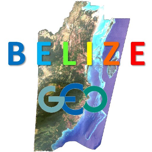
Can the @NICFISatData be used for wall-to-wall #LandCover mapping of tropical countries? 🤔We think so.😉 Here's a preliminary #EarthEngine #ML-based map of #Belize 🇧🇿's #forest cover using the recently released April 2024 @Planet mosaic data. https://t.co/lzgd7LtcK6
Asking again: Can @NICFISatData be used for wall-to-wall #forest cover mapping of tropical countries? 🤔YES! 😉 Here's preliminary #EarthEngine #ML-based mapping of #Belize 🇧🇿's forest cover using June 2023 @Planet mosaic data just released TODAY. https://t.co/FxAPaeC7B2
1
9
35
💡 Exciting news! @DEarthAfrica is now providing access to #NICFISatelliteDataProgram 's latest monthly and bi-annual high resolution mosaics - providing optimised true colour imagery, perfect for visual display and interpretation.
2
4
18
