
Mosaic - Geospatial Imaging Leaders
@Mosaic360camera
Followers
274
Following
524
Media
181
Statuses
389
Designers and builders of the world's highest resolution 360º cameras for mobile mapping, GIS, VFX, 3D modeling, surveying and so much more.
Currently parked in Prague, CZ
Joined August 2021
The dataset includes anonymized images with up to 2cm accuracy, even in GPS-denied areas. Find more details and the story of how our CEO came up with the idea at the link:
mosaic51.com
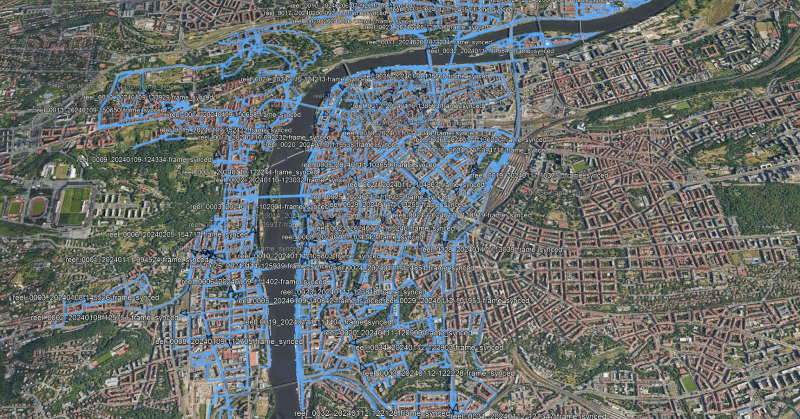
Access 15 terapixels of Prague's detailed imagery for your research, for computer vision, photogrammetry, point cloud generation, 3D modeling and more!
0
0
0
Already registered? Click here and follow the instructions to get started: Haven’t registered yet? Fill out the form to access the REALMAP and join the Discord channel for collaboration opportunities:
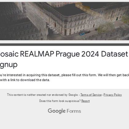
docs.google.com
If you're interested in acquiring this dataset, please fill out this form. We will then get back to you with a link to download the data.
1
0
1
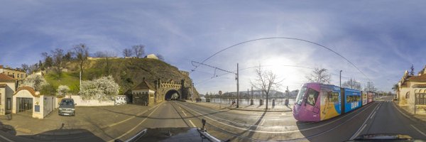
Full Prague REALMAP dataset is FINALLY here! 🚨 . 15 terapixels of high-res street view data of #Prague, captured by Mosaic #360Cameras – FREE for non-commercial use!. ⚫210K panoramas (13.5K) .⚫ 2-20cm accuracy. Perfect for research, testing, and more! .Details in comments 👇
1
1
0
Happening today! Join our CEO, Jeffrey Martin, and Michel Besner from @PreVu3D for a panel discussion on the future of 3D scanning—the latest tech, upcoming innovations, and what could eventually make today’s devices obsolete. 📅 February 11, 2025 | 🕑 2:15 PM | 📍 Exhibit

0
0
0
Check out the data captured last year in Denver with the Mosaic X #MobileMapping camera! . 🚗 Driving around the city with Mosaic lets you collect high-resolution 360° imagery for asset management, road and infrastructure inspection, large-scale visualization, and more. Explore
0
0
0
For those heading to @GeoWeekExpo, save the date:. 📅 February 11, 2025 .🕑 2:15 PM .📍 Exhibit Hall Theater. Glad to have Michel Besner from @PreVu3D, our partners, on the panel to discuss what’s next for 3D scanning—the latest tech, upcoming innovations, and what could

0
0
0
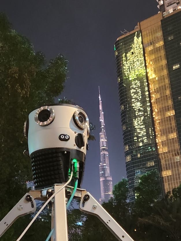
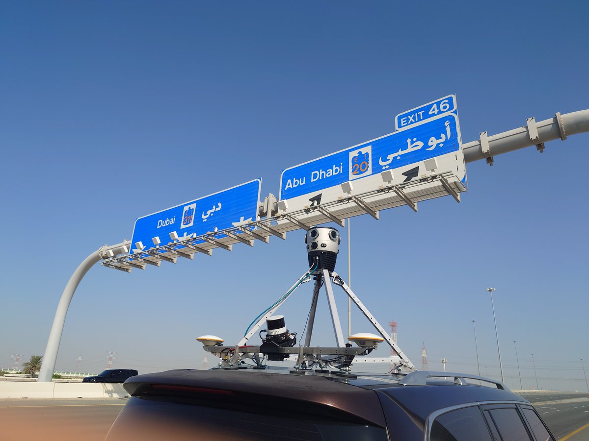
Can you capture 𝐡𝐢𝐠𝐡-𝐫𝐞𝐬𝐨𝐥𝐮𝐭𝐢𝐨𝐧 𝐝𝐚𝐭𝐚 at highway speeds, even at night? 🌃 With the Mosaic X, you can. Known as the most robust, easy-to-manage high-res 360° #MobileMapping camera, it delivers exceptional results for panoramic videos, maps, 3D models, and
0
0
0
The Mosaic X Camera System captures crystal-clear imagery at driving speeds, delivering exceptional results even in varying light and weather conditions. Whether inspecting assets like signs, poles, or trees, making precise measurements, or capturing data for urban planning and
0
0
0
Caught you scrolling feed instead of wrapping presents 👀 Merry Christmas and Happy Holidays!🎄Let’s take a moment to celebrate all the incredible achievements we’ve made together this year—capturing the world and making it better 🌎. A huge thank you to all of you for being part
0
0
0
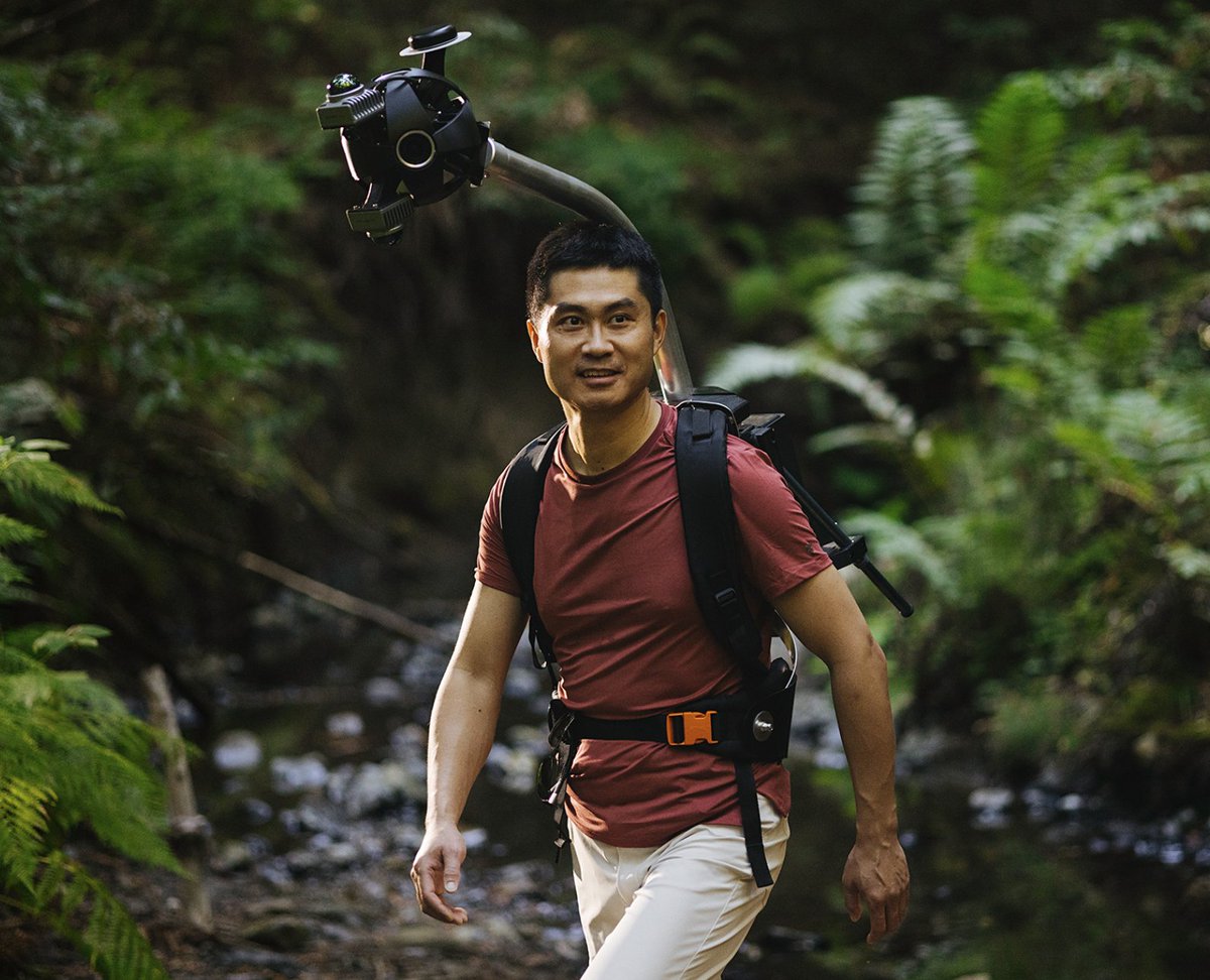
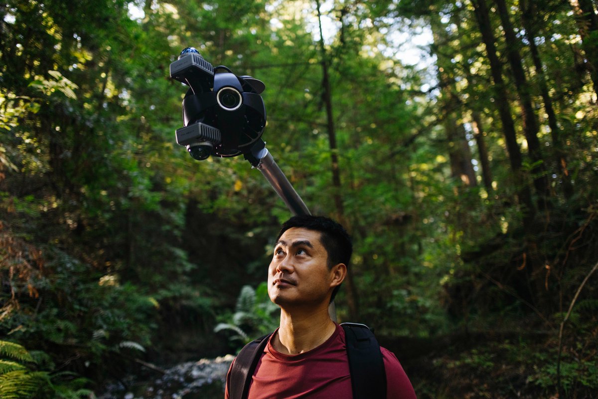
Learn more about this amazing project: Explore the Mosaic Xplor backpack camera’s features, applications, and its role in pushing boundaries in visual effects!. #VFX #360imagery #RealityCapture.
mosaic51.com
Learn how a backpack with a 360° camera and LiDAR overcomes traditional reality capture limitations, delivering high-res data in the toughest environments.

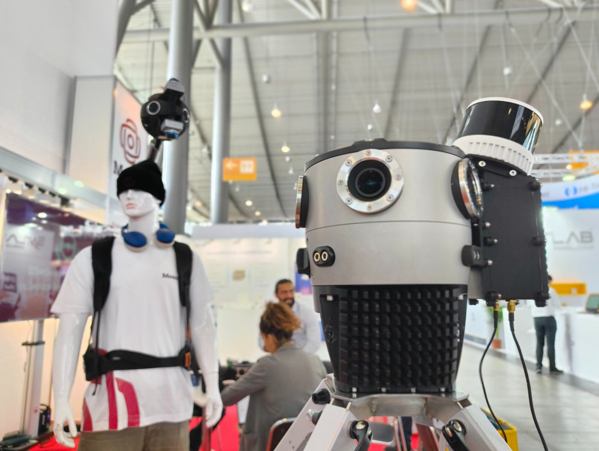
4/ Odyssey is going about collecting (and presumably licensing) tons of ground level spatial data. Interestingly, for the collection contraption they've partnered with @Mosaic360camera to build street view trekker style camera rigs. You may recall them from my post in October:
0
0
1
Always happy to share real feedback from our partners! 🙌 Thiago Tiedtke from ARX Tecnologia traveled all the way from Brazil to join #InterGeo2024 in Stuttgart, and we couldn’t miss the chance to hear his thoughts on how #Mosaic51 is enhancing their projects in South America.
0
0
0
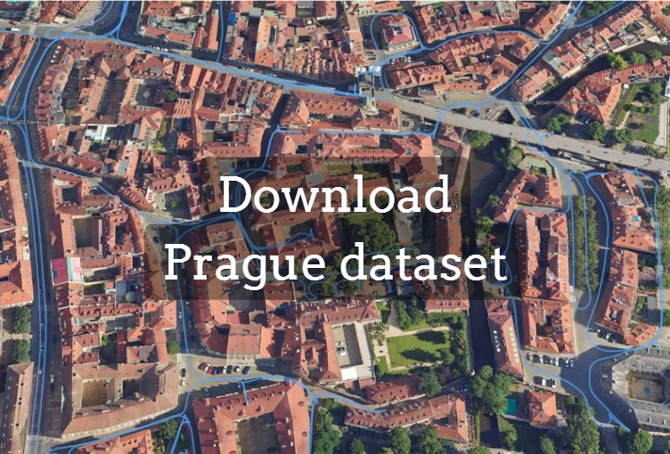
A month ago, we shared the first part of our Prague dataset with nearly 600 enthusiasts, and we’re excited to see it already being put to good use! If you missed the news, don’t worry—there’s still time to join the list. Find more details about the project here:

0
0
1
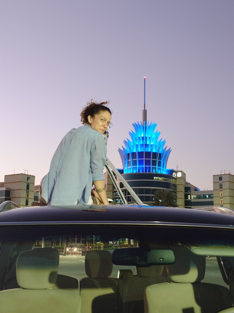
Attending #GeoWorld 2024 in the Middle East was an excellent opportunity to connect with amazing people who share our passion for #mapping and #geospatial innovation!. Capturing the region’s unique surroundings with our Mosaic X #Mapping Camera was truly exciting—can’t wait to

0
0
0
High-res imagery + smart tools = the future of geospatial workflows 🌎. 📷 Mosaic #360cameras + @Mapillary enable free storage, anonymized data, & feature extraction for #GIS. 🔍 Extract 1,500+ roadway features & integrate directly into #ArcGIS Pro. #Mapillary #MobileMapping
0
0
1
Super excited to announce our partnership with @odysseyml, set on becoming the leader in high-fidelity 3D data collection and generative world-building models. For our part, we’re happy to bring to the table our Mosaic Xplor, a versatile 360º #MobileMapping Backpack. Read more->.

The next frontier for visual generative models is to learn from the physical world. We've been pioneering exactly this at @odysseyml. We're building a vast dataset of real-world places, all captured in incredibly high-fidelity 3D with a custom hardware device. Read on for more!
0
1
1
Check out @bilawalsidhu's videos, and if you want the data, sign up here! . #streetview #realitycapture #mapping .#vfx #3dmodels.
Heads up! Mosaic dropped a pretty wild dataset of 1.26 million 360° images of Prague 🤯. If you're a researcher, creator or developer into 3D/AI/Geo, I think you're gonna wanna play with this. Here's the scoop on this 15 TERAPIXEL dataset & the crazy things you can do with it 🧵
1
0
2
If you do mobile laser scanning, what level of detail do you need? A few millimeters or a few centimeters? 🤔 Let us know in the comments!. We are happy to continue the discussion we started with @InertialLabs during @InsideIntergeo last week! . #InterGeo2024 #LiDAR #Mapping
0
0
0
AI & #LiDAR are transforming #MobileMapping, but is more data always better? 🤔 . Join us at the panel discussion at #INTERGEO2024 today at 12:50 (Expo Stage 2) on "Wasting Time in the Field & Office—How Dense is Too Dense for AI Models?". @insideintergeo.#GIS #Mapping

2
0
0
More friends every year at @InsideIntergeo – more booths to chat with 😉 . Can’t wait to share insights after Day 1! @_TopoDOT @emlid @PreVu3D 🍻🥂. Stop by Booth D1.006, Hall 1, to see new datasets from Mosaic 360 cameras and enjoy a traditional Czech drink! ;). #InterGeo2024
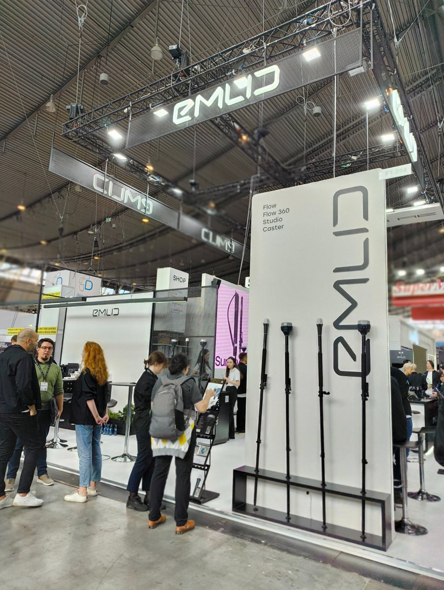
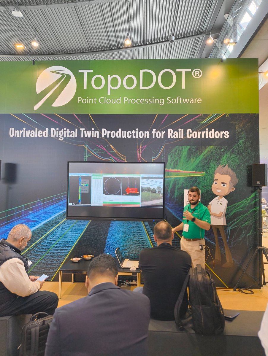

1
0
2