
MarkVoganWeather.com
@MarkVogan
Followers
5K
Following
13K
Media
12K
Statuses
57K
Providing Short 🌞 to 🥶 Long Range Forecasts For 🇬🇧 🇮🇪 🇪🇺 + 🌎 Weather Stories 🌩 🌡 🌧 ❄ 🏜 Check out my DAILY videos on YouTube!
Ross-Shire, Scotland
Joined July 2009
**NEW** Europe August 2025 Outlook (Image: Peter Chisholm)

0
1
2
**MONDAY LIVE** #StormFlorisLIVE🔴POWERFUL AUGUST SYSTEM BRINGS SWATHE OF DAMAGING WINDS ACROSS NORTHERN UK!. LIKE, SHARE, SUBSCRIBE, Thx!.
0
0
1
Power out at MVW HQ!. Might not be able to go live at 3. Stay tuned. .
0
0
1
RT @metoffice: ⚠️⚠️ Amber weather warning updated ⚠️⚠️. Wind across much of Scotland. Monday 1000 – 2300. Latest info 👉 .
0
42
0
Winds fair kicking out there with a nice hook on radar. Pressure down to 978mb. #StormFloris . I shall be LIVE @ 3PM this afternoon.


1
0
8
**SUNDAY VIDEO** SOME MODELS SUGGEST 80-90MPH GUSTS WITH #STORMFLORIS! LIKE, SHARE, SUBSCRIBE, THX!.
0
0
2
RT @WeatherMonitors: New video shows absolutely stunning footage of Krasheninnikov erupting after 600 years. On August 2, 2025, it recorde….
0
1K
0
**SATURDAY VIDEO** #TropicalOutlook 10: QUIETEST START TO ATLANTIC HURRICANE SEASON IN 16 YEARS. LIKE, SHARE, SUBSCRIBE, Thx!.
0
0
4
RT @WeatherMonitors: A rare winter storm is currently bringing heavy snow to northern New South Wales, Australia. Up to 50 cm of snow fell….
0
449
0
Away from W Iberia & Scandinavia, it was a COOL opening day to August across Europe as well as much of the US Lower 48, esp Cent Plains to New England.


0
0
6


**FRIDAY VIDEO** #STORMFLORIS NAMED ON HEELS OF UK'S 6TH WARMEST JULY, WARMEST FOR ORKNEY & SHETLAND! LIKE, SHARE, SUBSCRIBE, Thx!.
0
0
2
**THURSDAY VIDEO** STORM THREAT EARLY NEXT WEEK INCREASES. SURGE OF WARMTH & SHOT AT 30C FOR SE TO FOLLOW? LIKE, SHARE, SUBSCRIBE, Thx!.
0
0
1
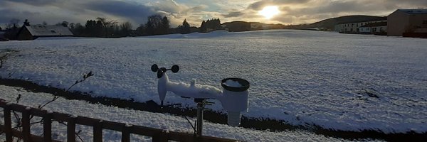
This July alone has produced 20 days at or above 20°C at my site. That's 1 shy of ALL last summer (June-July-August). Number of 25°C+ for July 2025: 4. ALL of Summer 2024? NONE!

5
0
9
RT @TheSnowDreamer: The temperature failed to reach 20C at London Heathrow we have to go back to June 8th, which was 50 days ago since that….
0
9
0
**WEDNESDAY VIDEO** AUGUST OUTLOOK: STORMY START FOLLOWED BY BUILDING PRESSURE & WARMTH?? LIKE, SHARE, SUBSCRIBE, Thx!.
0
1
2
GFS and ECM are taking turns as strengthening then weakening the Monday feature. Lot's of variables and more clickbait than anything this far out. Worth a watch!


0
0
4