InfraMappa
@InfraMappa
Followers
51
Following
1
Media
36
Statuses
57
A Single Source Of Truth For All Your Infrastructure Assets.
448 Ignacio Blvd, #505, Novato
Joined March 2022
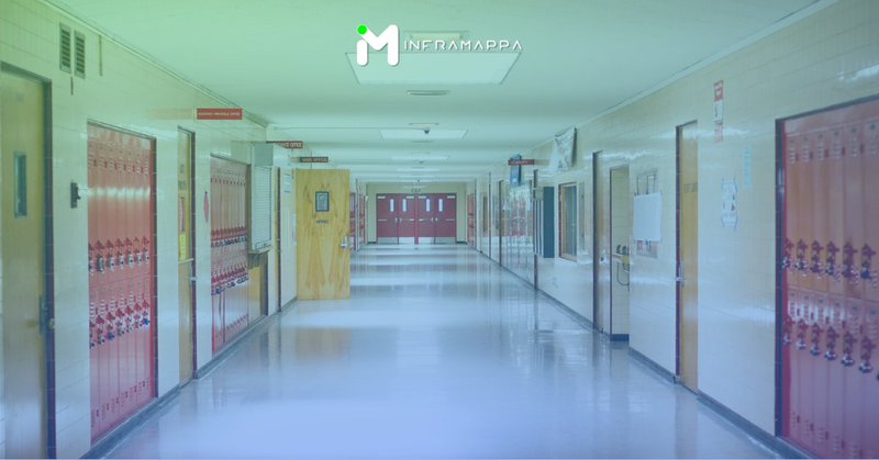
Geospatial data can significantly enhance school safety by improving emergency response, security measures, and evacuation procedures. By creating detailed maps and integrating them with communication systems, schools can better protect students & staff.
inframappa.com
Improve school safety with maps! Geospatial data helps first responders, optimizes security, creates safe routes & more. Learn how.
0
0
0
Geospatial data is revolutionizing emergency response. By harnessing the power of maps and location intelligence, first responders can significantly improve response times, resource allocation, and overall efficiency.
inframappa.com
Enhance emergency preparedness with geospatial data. Faster response times, better resource allocation.
0
0
0
This episode of Mapping Masters we discuss geospatial technology with Dr. Nadine Alameh, Executive Director of the Taylor Geospatial Institute.
inframappa.com
Dr. Nadine Alameh talks geospatial tech & the Taylor Geospatial Institute's mission to advance the field for a sustainable future.
0
0
0
K-12 schools struggle with outdated paper floor plans and fragmented data, hindering safety and efficient use of space. InfraMappa offers: Digital floor plans; data integration; plus analytics to improve safety, security, and space utilization:
inframappa.com
Upgrade your K-12 school. InfraMappa creates digital maps for safety, efficient learning spaces & streamlined maintenance.
0
0
0
#University #infrastructure, like buildings and technology, can impact student learning outcomes by as much as 43.2%! . By optimizing these spaces with a system like Inframappa, universities can create a more supportive and engaging learning environment.
0
0
0
#Universities can view their campus as a tool to boost student success. This can lead to better learning outcomes, student well-being, and overall satisfaction:
inframappa.com
Reimagine your campus! Learn how universities leverage infrastructure for a thriving student experience & academic success.
0
0
0
We're celebrating the first anniversary of joining Overture Maps Foundation. This collaboration has been a significant step forward in creating a comprehensive, open-source map dataset that benefits everyone.
inframappa.com
InfraMappa partners with Overture Maps Foundation for open-source map data. Benefit from a high-quality, collaborative map for all!
0
0
0
#Infrastructure projects can be derailed by hidden costs. From skipping crucial site investigations to underestimating long-term maintenance, these surprises can inflate budgets and timelines. Avoid going over your #budget by knowing your site inside and out with InfraMappa.
0
0
0
While infrastructure projects are vital, hidden costs can throw budgets and timelines into disarray. Common culprits are:.⚫️ Skipping thorough groundwork.⚫️ Permitting hurdles.⚫️ Communication breakdowns.⚫️ Underestimating long-term costs.
inframappa.com
Don't let surprise expenses derail your project. Learn 5 hidden costs in infrastructure & how to avoid them. InfraMappa can help!
0
0
0
Industrial fires can be avoided. Real-time mapping uses a network of sensors to monitor your facility in real-time, providing:.🔹 Early fire detection.🔹 Predictive maintenance.🔹 Improved situational awareness.🔹 Reduce fire risk. Learn more here:
inframappa.com
Real-time mapping prevents industrial fires, improves response & saves lives. Learn how Inframappa can upgrade your fire safety.
0
0
0
#NewYorkCity faces a growing flood risk, with costs reaching over $512 million in 2021 alone. These floods devastate infrastructure, displace residents, and strain businesses. A detailed flood risk map can be a solution. Learn more about how we can help:
0
0
0
New York City faces a growing flood risk, with costs reaching over $512 million in 2021 alone. These floods devastate infrastructure, displace residents, and strain businesses. A detailed flood risk map can be a solution. Learn more how we can help:
inframappa.com
NYC faces rising flood costs. A flood risk mapping system can save lives & money by prioritizing upgrades & informing residents.
0
1
0


