HarvardMapCollection
@HarvardMapColl
Followers
9K
Following
11K
Media
2K
Statuses
4K
Founded in 1818, the Harvard Map Collection holds over 500k antiquarian & modern maps, and provides gis data and support. Check out our instagram: harvardmaps
Cambridge, Massachusetts, USA
Joined April 2011
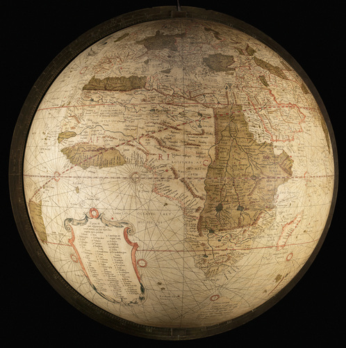
We've partnered with the @ImperiiaProject to pilot how @HarvardLibrary can curate well-contextualized geospatial datasets for long-term discovery and access. Read about the project here! https://t.co/cma9jK65OD

daviscenter.fas.harvard.edu
The Davis Center's Imperiia team is working with the Harvard Map Collection to study biodiversity and show why metadata is a scholar's best friend.
0
1
3

If you’ve ever wished your favorite fictional universe was real, a new @HarvardMapColl exhibition is for you. “From Academieland to Zelda” explores fictional maps from movies, books, video games, and more. Come check it out in-person:
0
5
12
The Harvard Map Collection is hiring a Map Librarian. If you enjoy teaching and helping with patron research, check out the job description:
0
4
10
Nicolas de Fer's late 17C "Plan de Tolose divisé en huict capitoulats" #Toulouse #HarvardLibrary high-res: https://t.co/5DmHY3Xw1Q
2
8
16
Henry Francis Walling's #Map of #Piscataquis County #Maine from 1858 high-res: https://t.co/FH32yEGynB
0
5
8
1905 zoning #map of #Cologne "Uebersichtsplan zur Banordnung für den Stadtkreis #Cöln" #HarvardLibrary high-res: https://t.co/oOUble28a9
2
8
34
detail of the 2007 @USGS #Map of Yosemite Valley, Yosemite National Park and Wilderness high-res: https://t.co/voQ9YvtY1T
0
6
13
Matthaeus Seutter's 1735 #map of #Brussels #HarvardLibrary high-res: https://t.co/HkWPvQFIPt image description: richly hand-colored map of Brussels above a bird's eye view of the city with major landmarks labeled.
0
3
6
1867 #map of the "Exposition universelle" in #Paris including a plan of the palace, park, and garden. #HarvardLibrary high-res: https://t.co/NGu5JEWp6N
0
5
12
0
6
5
Homann's 1718ish #map of St. Petersburg #SaintPetersburg #map #HarvardLibrary high-res: https://t.co/3PtSpvIQkk
0
4
9
Frederik de Wit's late 17C "Accuratissima totius regni Hispaniae Portugallieq. tabula et typus novissimus" #Spain #Portugal #HarvardLibrary high-res: https://t.co/DZTFXcTpz6
0
3
11
The Union News Company's indexed #map of the Worlds Columbian exposition at #Chicago, 1893. #HarvardLibrary High-res: https://t.co/Pr9kNSH2Gr
0
3
9
American Geographical Society Library Research Fellowships at @uwmlibraries due 30 Nov. For info:
0
3
6
The #NileRiverDelta, a detail from a large (182 x 110 cm.) multi-sheet 1743 #map by Richard Pococke of #Egypt, which was "Recently Subjected to His Faithful Eyes, Illustrated by His Travels: Adapted to the Norm of Ancient as well as Modern Choreography." #HarvardLibrary
0
5
17
A chart by John Seller from his Atlas Maritimus (circa 1675) depicting all the "narrow seas" that surround the British Isles, along with a sea monster riding merman (Neptune?) hoisting the King's Colours on his bident. #maps #HarvardLibrary
0
6
30

The JCB Library's short (remote or residential) and long-term (residential) research fellowships are key to the intellectual community we want to support. Let us know if we can help support your work! Applications due Jan 9 and available here: https://t.co/pxKQQBG1TD
0
61
93
Erwin Raisz's "United States and Canada - Physiography" with 6 colors showing different kinds of rock and his signature pictorial method for illustrating landforms #HarvardLibrary #maps
2
9
50
"Spatial Pattern of Political Behavior; #Berlin, #Germany" in the municipal elections of 20 Oct 1946 from a 1947 report on German Elections by the Military Governor of the US Zone #HarvardLibrary
0
2
7