
IIASA Geo-Wiki
@Geo_Wiki
Followers
802
Following
683
Media
82
Statuses
782
Crowdsourcing the Earth's surface at @IIASAVienna
Laxenburg, Austria
Joined January 2015
Geo-Wiki is currently not active on X, but you can still stay updated and engage with us on our other channels! . 🔔Find us on Bluesky and LinkedIn for the latest news, insights, and community updates.

0
0
0
RT @LAMASUS_EU: #LAMASUSWPLeads 2⃣: Linda See (@IIASAVienna) and Geo-Wiki team oversees crowdsourcing of land cover and #landuse and qualit….
0
1
0

RT @EarthMonitorOrg: 🚀Abstract submission is OPEN! Join the 4th Global Workshop by @EarthMonitorOrg 🌏. 🗓️When?.17-19th Sept 2025, Belgrade….
0
5
0
RT @landcarbonlab: 🌾 New maps from the #GlobalPastureWatch research consortium show annual grassland extent, distinguishing cultivated & na….
0
2
0
🔔Reminder🔔.Applications for the IIASA Young Scientists Summer Program #YSSP close 13 January! 🌍. Since 1977, IIASA has hosted 50+ doctoral students each summer for a 3-month research journey, and now we invite you to join us!⬇️. 🔗 Apply now:
iiasa.ac.at
The Novel Data Ecosystems for Sustainability (NODES) Research Group combines Citizen Science, data analytics and Earth Observation to advance research on monitoring changes to the earth’s surface –...
🔔Are you passionate about science?🔔.Join IIASA's Young Scientists Summer Program #YSSP with the NODES Research Group! Dive into exciting topics on #CitizenScience, AI, #geospatial techniques, data fusion, #Earth observation, & more!.🔗Discover more➡️

0
0
0
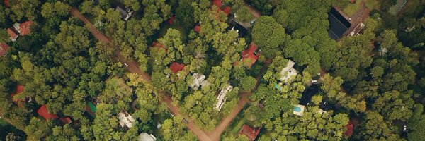
Our last newsletter for 2024 is out🌐! .🌳new opportunities to sort piles in Picture Pile.🌳provide spatial feedback through Geo-Wiki.🌳using satellite data and AI to monitor mining impacts & more. 🎄Our team wishes you a peaceful holiday season!🙏.ℹ️
0
0
1
RT @landcarbonlab: 🌍 Grasslands are vital global carbon stores, supporting biodiversity & livelihoods. To protect & sustainably manage them….
0
2
0
RT @landcarbonlab: Grasslands—including shrublands & savannas—cover ~40% of Earth, supporting 1B+ people & storing vital carbon. Yet, only….
0
11
0
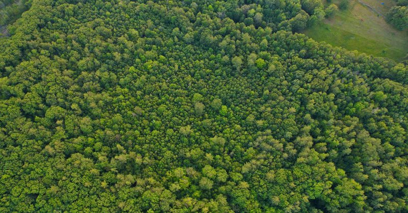
🛎️Reminder! On Nov 21, join the workshop on the new #Forest typology data! 🌳Register if you are interested in providing spatially explicit feedback on the forest management map through visual interpretation🌐 .Help us spread the word 🌎.More information:
iiasa.ac.at
This hands on workshop will present natural forest extent data from the SBTN natural lands map and an update to the forest management map 2015 developed by IIASA and VITO. Participants will have the...
🛎️On Nov 21, a workshop on the New #forest typology data – an overview and feedback collection will be hosted!🌳.➡️natural forest extent data from the SBTN natural lands map .➡️update to the Lesiv et al. 2015 forest management map .Learn more & register ⬇️.
0
4
2
🛎️On Nov 21, a workshop on the New #forest typology data – an overview and feedback collection will be hosted!🌳.➡️natural forest extent data from the SBTN natural lands map .➡️update to the Lesiv et al. 2015 forest management map .Learn more & register ⬇️.
iiasa.ac.at
This hands on workshop will present natural forest extent data from the SBTN natural lands map and an update to the forest management map 2015 developed by IIASA and VITO. Participants will have the...
0
2
2
RT @LindaMSee: Comparative Study of Random Forest and Support Vector Machine for Land Cover Classification and Post-Wildfire Change Detecti….
mdpi.com
The land use land cover (LULC) map is extensively employed for different purposes. Machine learning (ML) algorithms applied in remote sensing (RS) data have been proven effective in image classific...
0
3
0
🔔Are you passionate about science?🔔.Join IIASA's Young Scientists Summer Program #YSSP with the NODES Research Group! Dive into exciting topics on #CitizenScience, AI, #geospatial techniques, data fusion, #Earth observation, & more!.🔗Discover more➡️
0
5
8
RT @EUCitSciProject: Discover the variety of topics and contributions witnessing the transformative power of #citizenscience presented at t….
0
8
0
RT @EarthMonitorOrg: 🎥Unlock 20+ hours of scientific content from the Open-Earth Monitor Global Workshop 2024! Explore workshops and oral t….
youtube.com
2-4 October 2024, International Institute for Applied Systems Analysis (IIASA), Laxenburg, Austria, "From EO Data to policy impact.Jointly organized by OpenG...
0
13
0
RT @WEEDynamics: 🌐We've launched the ESA World Ecosystems website! Using #EarthObservation data, we map & monitor terrestrial, freshwater &….
0
2
0
RT @ESA_WorldCereal: 👀 A sneak peek on how you can generate a #cropland map!. Find out more next Thursday during our webinar. The team will….
0
2
0
RT @EarthMonitorOrg: 🚀And that's a wrap! #OEMCGW24 brought 100+ #EO experts to Vienna for keynotes, workshops & discussions on advancing cl….
0
9
0
RT @IIASAVienna: 💡 The three-year project CROPS (Curating, Replicating, Orchestrating, and Propagating citizen science) is developing an in….
iiasa.ac.at
In February 2024, a new EU-funded project kicked off. CROPS – short for curating, replicating, orchestrating, and propagating citizen science across Europe – is a three-year project that brings...
0
4
0
RT @LindaMSee: Presented the work on mapping land use management as part of the @LAMASUS_EU project at the #OEMC Global Workshop @EarthMoni….
0
5
0
RT @ESA_WorldCereal: 🌽 Global #cropland & #crop type mapping at field scale! Join the #WorldCereal #webinar 17 Oct 👇 to learn more about:….
0
3
0