BigDawgWx Profile Banner
Big Dawg NE CO Storm Chasers Profile
Big Dawg NE CO Storm Chasers

@BigDawgWx

Followers
653
Following
9K
Media
1K
Statuses
5K

We're a team of storm chasers bringing severe weather outbreak news to NE Colorado and surrounding states. #BigDawgWX

Northeastern Colorado, USA
Joined August 2020
Don't wanna be here? Send us removal request.
@BigDawgWx
Big Dawg NE CO Storm Chasers
14 hours
Great lightning near Brush, CO last night! #cowx
Tweet media one
Tweet media two
Tweet media three
Tweet media four
0
1
3
@BigDawgWx
Big Dawg NE CO Storm Chasers
2 days
There is a marginal risk for severe weather in northeastern Colorado today with a 5% hail risk & a 5% severe wind risk. We could see storms develop around 3 pm & continue until around midnight. #COwx #Colorado
Tweet media one
Tweet media two
Tweet media three
0
1
4
@BigDawgWx
Big Dawg NE CO Storm Chasers
2 days
RT @COFloodUpdates: #FTB: Hot #COwx builds today. With limited storm chances over elevated terrain, NO #COFlood threat has been issued. Se….
0
2
0
@BigDawgWx
Big Dawg NE CO Storm Chasers
5 days
RT @AbeSandyWX: Fun chase here in Logan County, CO. Got some nice ground scrapers & heavy rain near Peetz. #COwx #Colorado @BianchiWeather….
0
1
0
@BigDawgWx
Big Dawg NE CO Storm Chasers
5 days
Video of the tornado near Lindon #cowx
4
1
17
@BigDawgWx
Big Dawg NE CO Storm Chasers
5 days
Another tornado from a viewer south and west of London 5-10 miles. #cowx
Tweet media one
Tweet media two
Tweet media three
1
1
12
@BigDawgWx
Big Dawg NE CO Storm Chasers
5 days
#nwsboulder tornado 15 saw of fort Morgan
Tweet media one
0
0
1
@BigDawgWx
Big Dawg NE CO Storm Chasers
6 days
RT @AbeSandyWX: Pretty decent for not going out chasing, this was around 5:30 pm near North Sterling Reservoir looking south. Helping get s….
0
1
0
@BigDawgWx
Big Dawg NE CO Storm Chasers
7 days
UPDATE: The slight risk has been extended north to include most of the I-76 corridor & the northeastern corner of Colorado. This includes a 15% hail risk. A 15% severe wind risk has been added to the eastern plains south of the Colorado, Kansas, & Nebraska tristate. The hatched
Tweet media one
Tweet media two
Tweet media three
0
1
3
@BigDawgWx
Big Dawg NE CO Storm Chasers
7 days
RT @COFloodUpdates: #FTB: Big storms return east. A MODERATE #COFlood threat has been issued for the Palmer Ridge where both PM storms and….
0
3
0
@BigDawgWx
Big Dawg NE CO Storm Chasers
7 days
RT @CReppWx: We were just to the west of Meeker a minute ago when the Lee Fire made a run over this ridge. Now they are closing Hwy 64 beca….
0
18
0
@BigDawgWx
Big Dawg NE CO Storm Chasers
7 days
We have a slight risk for severe weather in eastern Colorado today with a 2% tornado risk, a 15% hatched (significantly severe) hail risk, & a 5% severe wind risk. We could expect storms to start around 3 pm & continue until the early morning hours on Saturday. Most of the severe
Tweet media one
Tweet media two
Tweet media three
Tweet media four
0
1
1
@BigDawgWx
Big Dawg NE CO Storm Chasers
10 days
You can visibly see the smoke from the Lee & Elk RBX Fires on the GOES Satellite. These two fires are right near Meeker, CO burning a total of around 22k acres. #COwx #COfire #Colorado
Tweet media one
1
2
6
@BigDawgWx
Big Dawg NE CO Storm Chasers
10 days
RT @NWSBoulder: Near record high temperatures are expected through Friday, with highs near 100 degrees at lower elevations. #cowx https://t….
0
13
0
@BigDawgWx
Big Dawg NE CO Storm Chasers
11 days
#cowx looking south from Arriba CO after the destructive hailstorm.
0
0
0
@BigDawgWx
Big Dawg NE CO Storm Chasers
11 days
0
0
2
@BigDawgWx
Big Dawg NE CO Storm Chasers
11 days
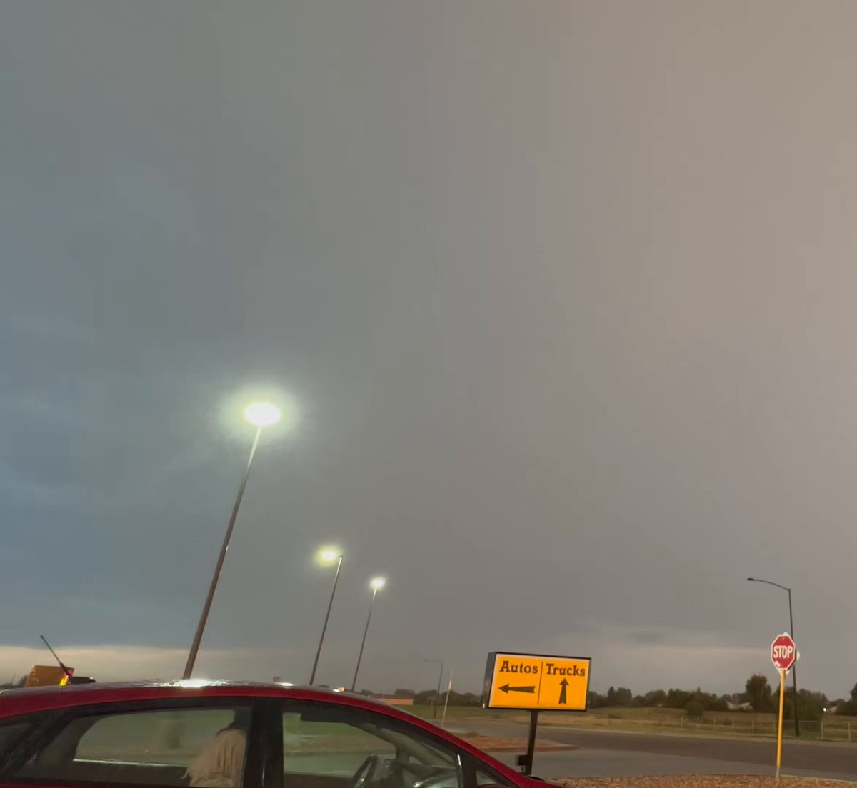
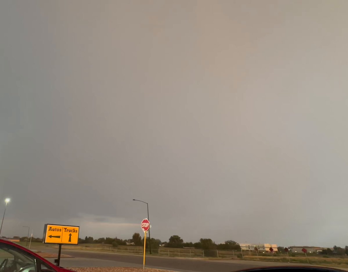
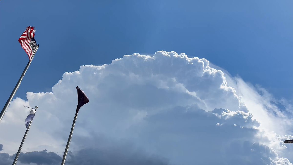
Photo from Paul in Brush, CO looking at the cell in southeastern Morgan County, CO. #COwx #Colorado @BianchiWeather
Tweet media one
0
2
8
@BigDawgWx
Big Dawg NE CO Storm Chasers
11 days
Cool view from Brush, CO. #cowx
Tweet media one
Tweet media two
Tweet media three
Tweet media four
2
1
9
@BigDawgWx
Big Dawg NE CO Storm Chasers
12 days
We have a slight risk for severe weather in northeastern Colorado today with a 2% tornado risk, 15% (hatched) hail risk, & 15% severe wind risk. We could see storms develop around 7 pm and continue until around 11 pm. Right now it's looking like it's going to be Logan, Philips, &
Tweet media one
Tweet media two
Tweet media three
Tweet media four
0
0
0