

ArcGIS Apps
@ArcGISApps
Followers
17K
Following
10K
Media
5K
Statuses
7K
On your desktop, mobile device, or browser, ArcGIS Apps are a collection of integrated, location-based apps that work wherever you do. Brought to you by @Esri.
Redlands, CA
Joined January 2015
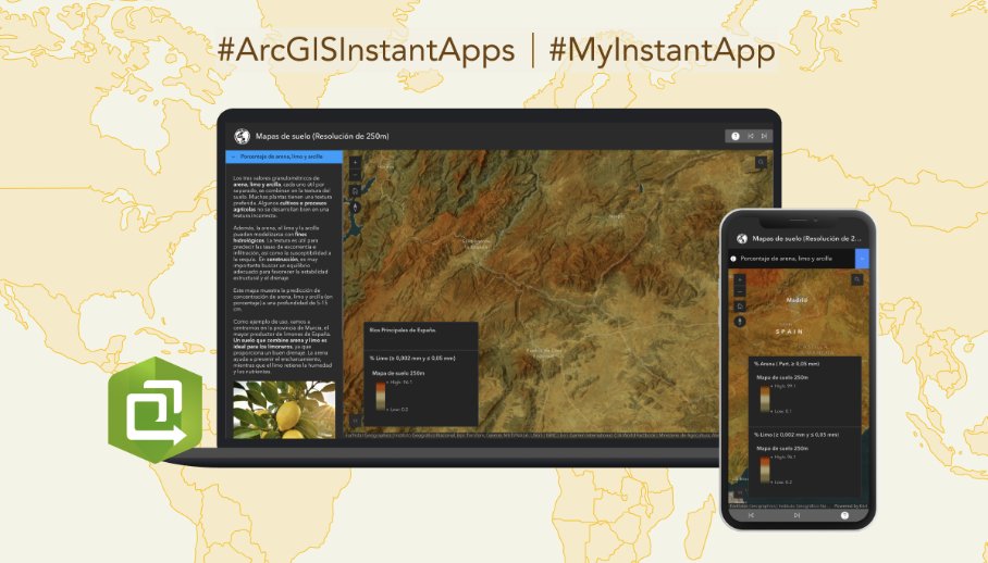
Check out this #ArcGISInstantApps app, built by @Esri_Spain, that lets you explore high-resolution (250m) soil maps of Spain, providing data on 11 key variables, including sand, silt, clay, nitrogen, carbon, pH, and cation exchange capacity. View app:
0
1
3
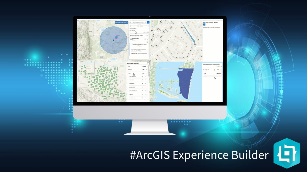
Check out this video from the ESRI Developer Summit that introduces #ArcGISExperienceBuilder. Our low code/now code app builder enables you to build visually stunning and highly functional apps. Watch now:
0
0
1
When Ryan Reynolds and Rob McElhenney set out to revitalize Wrexham’s stadium, #ArcGIS #FieldMaps helped ensure sustainability and habitat preservation. More on this unlikely intersection of star power, historic sports culture, and cutting-edge tech:


0
1
1
Check out this #ArcGISInstantApps app, built by @Esri_Spain, which provides a multi-scale, detailed view of Segovia’s natural environment and its surrounding area. View app:

0
3
6
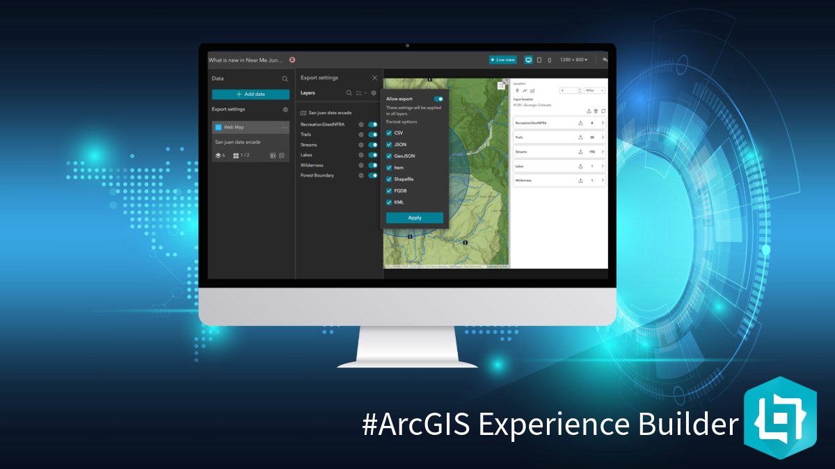
Check out this blog post that explores the latest updates to the Near Me widget, available in the June 2025 release of #ArcGISExperienceBuilder. Learn more:
0
1
7
We know the maps you create and customize in #ArcGIS #FieldMaps are your recipe for successful field deployments - that's why this latest release brings the ability to templatize and share them with all map authors in your org! . Learn more on what's new:

0
0
2
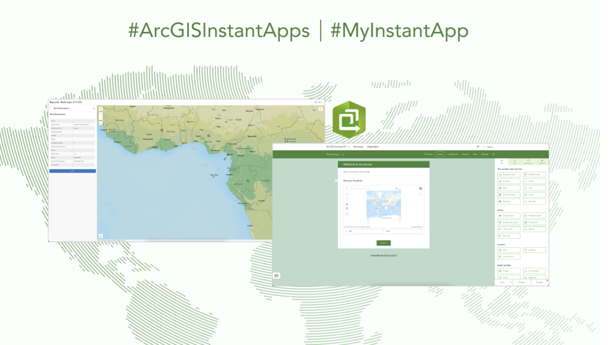
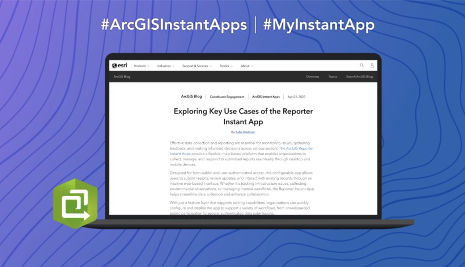
Check out this blog that explores how the #ArcGISInstantApps Reporter template compares to #ArcGISSurvey123 as a means to enable users to capture and manage information effectively. Read blog:
0
2
11
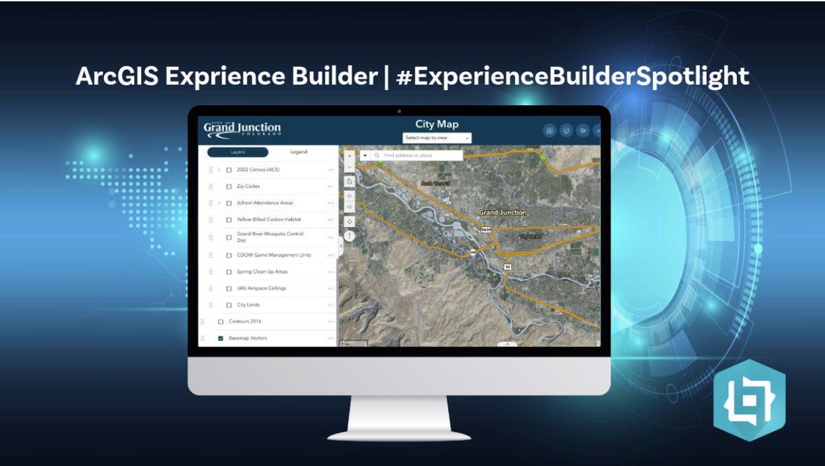
Check out this #ArcGISExperienceBuilder app built by @GJCity. This app includes a collection of interactive city maps that support public information, development, transportation, utilities, and public safety in Grand Junction, Colorado. Explore app:
0
0
1
Data is a major component in #ArcGISBusinessAnalyst and the Esri Demographics team is committed to delivering the most up-to-date enhancements to help your analysis. Explore the June 2025 update to learn about ArcGIS Tapestry, new variables, and more. ➡️

0
0
0
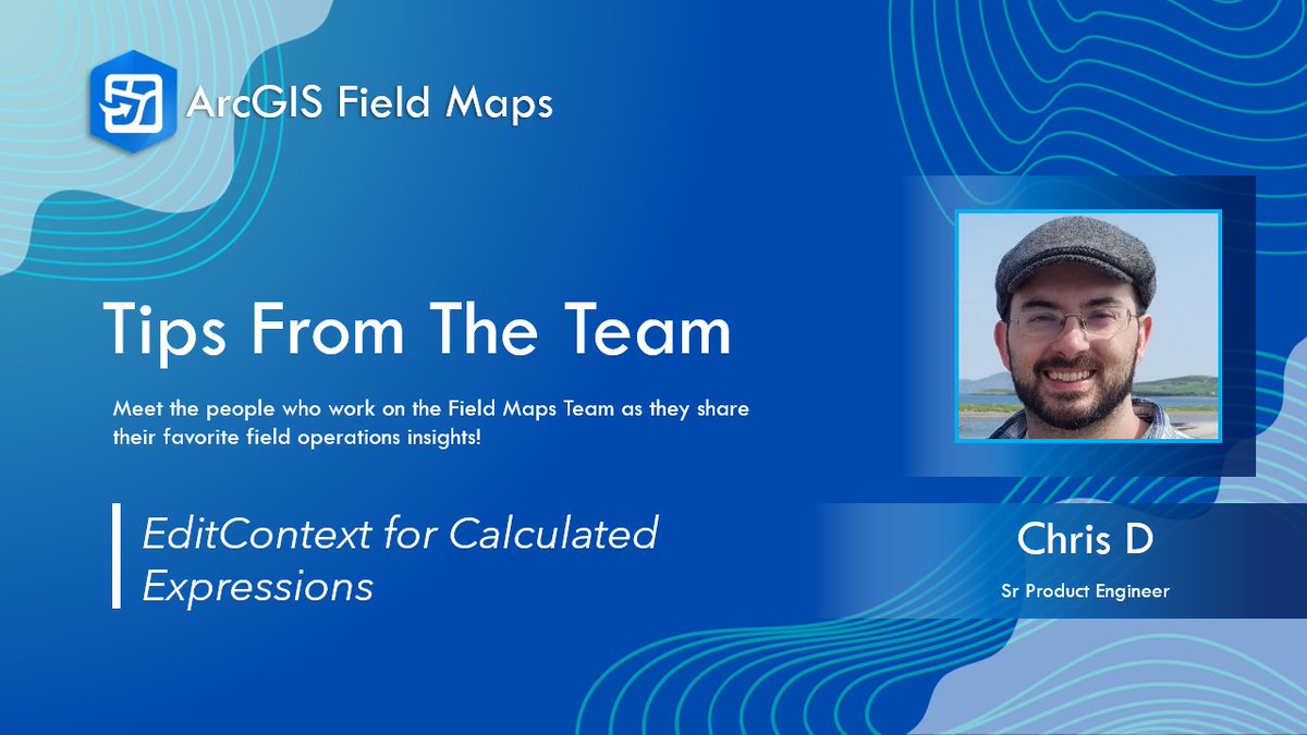
This #FMTipsfromtheTeam video shows you how to integrate the "editcontext" #ArcGISArcade function in #FieldMaps Designer forms so that context you specify is evaluated when capturing or editing a feature and your data returns as intended.
0
1
3
Check out this blog that explores the key workflows and features that the #ArcGISInstantApps Reporter template supports. Learn more:
0
0
1
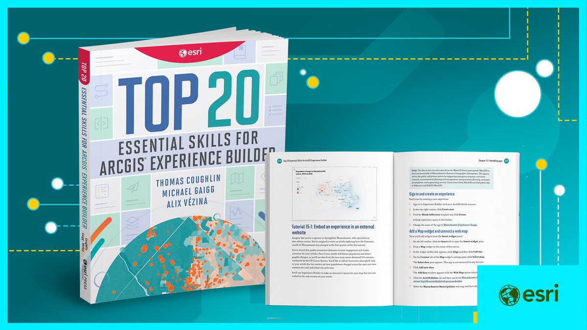
Are you looking for tips and tricks to build apps in #ArcGISExperienceBuilder? Check out the new 'Top 20 Essential Skills for ArcGIS Experience Builder' book that provides a guide through the process of creating highly functional apps. Learn more:
0
0
1
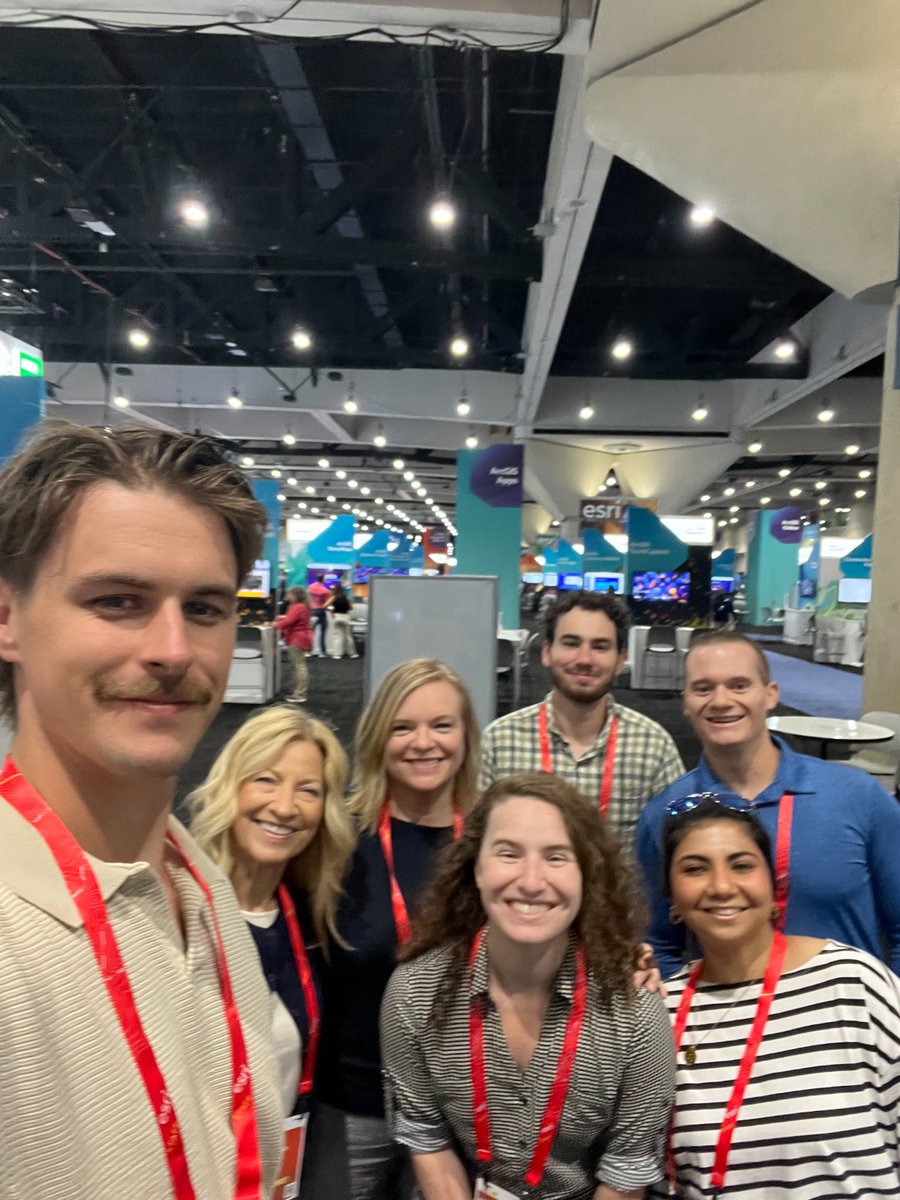
Thank you to everyone who participated in the #EsriUC2025 in person and virtually, it was great seeing you! Weren't able to make it or still have questions? Be sure to head over to #EsriCommunity to connect with #ArcGIS #FieldMaps product experts:
0
0
2
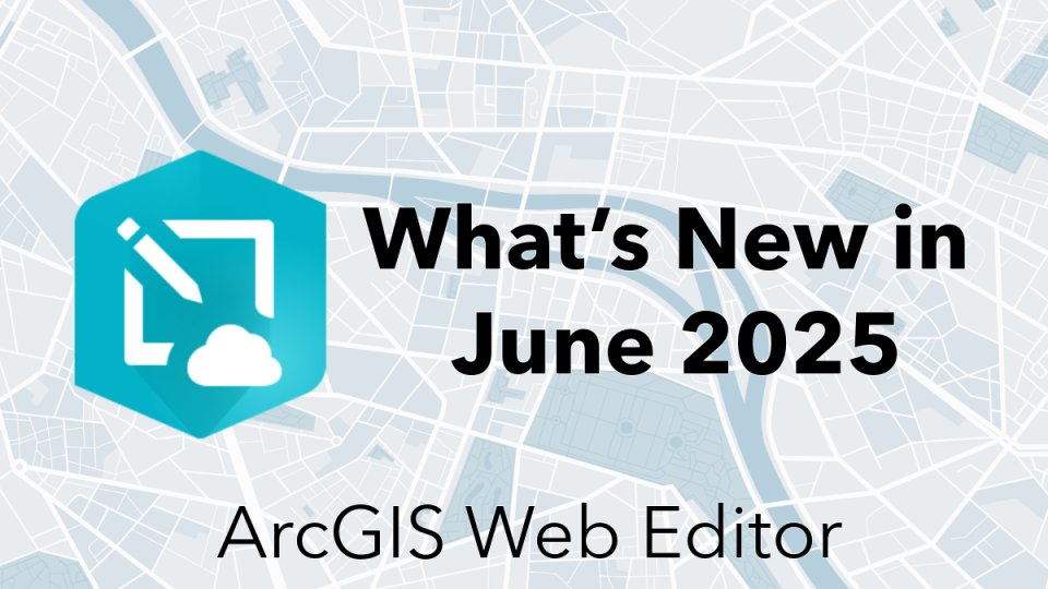
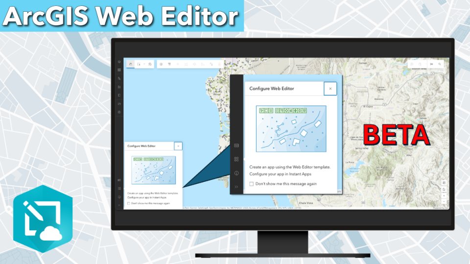
Curious about how to make #ArcGISWebEditor even more streamlined for your editing workflows? Check out the release blog and learn all about the new Web Editor (beta) Instant Apps template!. Learn more ➡️
0
1
3
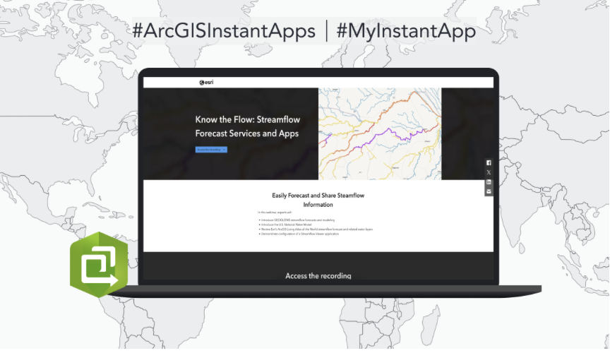
Check out this webinar that explores how you can use the #ArcGISInstantApps Streamflow Viewer template to forecast and share streamflow information. View now:
0
0
0
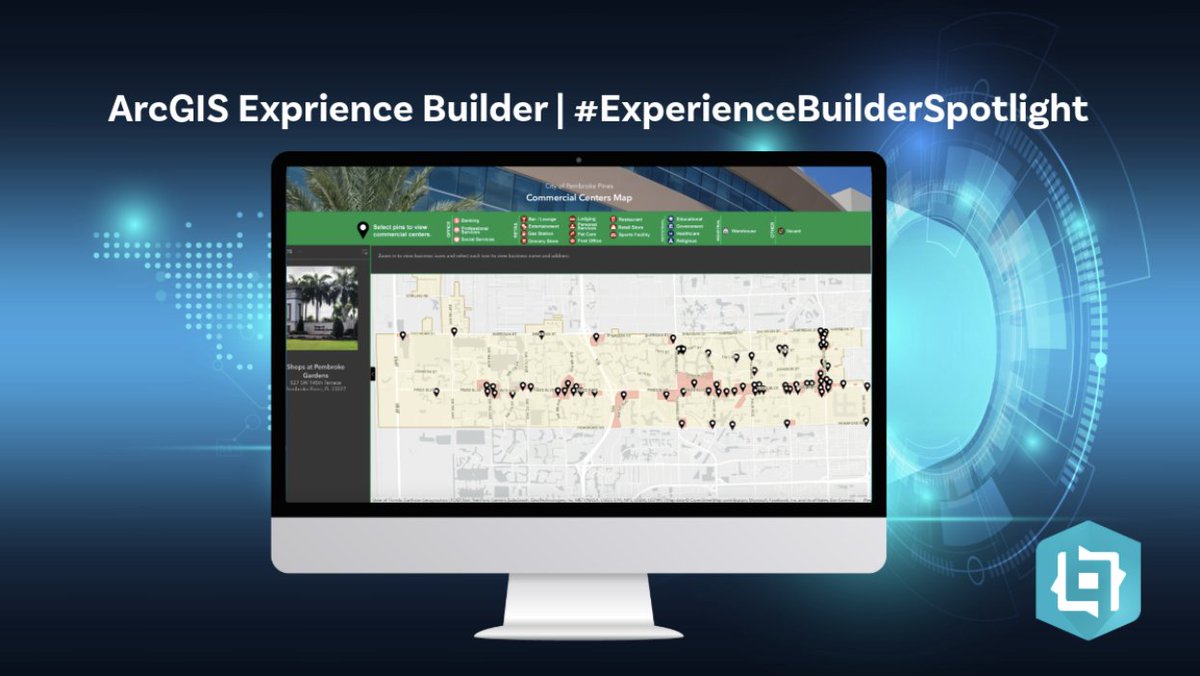
Check out this #ArcGISExperienceBuilder app by @cityofppines that displays commercial activity within the city of Pembroke Pines. This app showcases the location of commercial centers and individual businesses on the map!. Explore app:
0
2
3
Did you know that with the June update of #ArcGISDataPipelines, you can now connect to Databricks and Private URLs? . Read the blog to learn more ➡️

0
0
2
Configure #ArcGISWebEditor for your exact workflows with the new Web Editor Instant Apps template! Test it out in our Early Adopter Community beta! . Share your feedback ➡️
0
0
1
Swing by the #ArcGISPro showcase area to connect with experts at the layouts kiosk to explore #ArcGIS Maps for Adobe Creative Cloud. This plugin for #Adobe Illustrator helps you design stunning, data-driven maps. Explore the sessions planned for the week:

0
0
0
The #ArcGISBusinessAnalyst team is here ready to answer your questions, listen to your ideas, and make connections at two booths in the expo hall. Visit us Tuesday, Wednesday, and Thursday this week at #EsriUC2025

0
0
2