Explore tweets tagged as #Dronemapping

Putting our new LiDAR drone to the test! Super pumped to utilize it for mapping surface ruptures! 🌍✈️ #LiDAR #DroneMapping
0
6
42

“I almost quit… and then everything changed.” Meet Alumni SUSAN, one of our inspiring graduates who almost gave up midway through their precision agriculture training. #PrecisionFieldAcademy #AlumniSpotlight #Agritech #PAIPcohort3 #GIS #DroneMapping #DigitalFarming
0
1
5

Testing today with drones to identify canola in faba beans. Using DJI M3M + Pix4D Fields picked up flowering canola pretty well! #DronesinAg #dronemapping
0
2
9

Drone-captured 3D mesh + classified point cloud of Nairobi’s Pipeline Estate. We visualized building typologies, street activity, rooftops, power lines & more—turning unplanned density into actionable data. #DigitalTwin #DroneMapping #Geospatial #Nairobi @ARQIsolutions
1
40
87

#PIX4Dcloud now supports georeferenced #GaussianSplatting for drones, with unmatched visual quality, cleaner point clouds, and scalable access for your entire organization and large enterprise projects! ☁️ 🚁 Read more: https://t.co/3x3D1mD79R
#Pix4D #dronemapping
0
1
4

The geospatial world is changing fast. Master top skills like GIS, Drone Mapping & Data Analysis at Geoinfotech Academy. 👉 Start learning today: https://t.co/Q863dj21Jh
#GIS #DroneMapping #FutureSkills
0
0
4

I recently contributed to the successful completion of a 20,000-hectare drone mapping project in Northern Nigeria, utilizing the WingtraOne PPK-enabled UAV paired with the Sony RX1R II sensor. #WingtraOne #dronemapping #BriechUAS
3
2
7

Guess who dropped by our operation surveying site today? 🐪 This curious camel came to explore our D-GPS device! Just another day in the field in beautiful Saudi Arabia. #DroneSurveying #FalconViz #UnexpectedVisitor #SaudiArabia #FalconVIZ #DroneMapping #GPS #KSA #Surveying
0
1
1

Geoid Technologies Ltd conducted a training exercise at the University for the CITGI4Muringato project. During the training, the facilitators highlighted the basic drone mapping requirements and explored the various application areas. #dronemapping #RemoteSensing #project
3
6
31

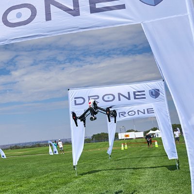
Here is a guide on the uses of a drone. #DroneUses #DroneTechnology #DroneInnovation #DroneMapping #Drones cc: @PawlowskiMario @CurieuxExplorer
0
0
2

RTK or PPK? Choosing the right drone mapping technology is crucial for accurate results. Learn the key differences and find the best fit for your projects. #DroneMapping #Precision
1
5
13

Drones are revolutionizing mapping & surveying! 🚁 They're not just for cool aerial videos anymore. Drones can create detailed 3D models & maps, helping everyone from urban planners to farmers to conservationists. #Drones #Mapping #Surveying #DroneMapping #GIS #Geospatial
0
0
1

अब जमीन पर होगा आपका स्वामित्व......गांव और पंचायतों में बहेगी समृद्धि की बयार....... #स्वामित्व_योजना #uttarakhandvillage #uttarakhandpanchaytiraj #dronemapping
0
0
0

Processing over 2,000 high-resolution aerial images from our latest LiDAR survey using DJI Terra. Orthomosaic generation underway to support 2D plannimetric feature extraction and topographic map updates. Precision data, streamlined workflows. #AerialSurvey #DroneMapping #LiDAR
4
5
44

Discover our rigorous pre-construction process where accuracy begins with the very first mark. Using high-tech drone mapping & georeferenced ground control points, we ensure every project starts with pinpoint precision. #constructionprocess #dronemapping
0
0
3

Elevated terrain? DJI Matrice 4T handles it effortlessly. Accurate 3D mapping with terrain-following ensures every slope and contour is captured in detail. 🎬 Video credit: ITASCAN #DJIEnterprise #Matrice4T #DroneMapping
1
2
12
Exploring new heights in drone mapping technology with #FalconVIZ. 🚀 Our advanced systems deliver high mesh data, transforming aerial imagery into precise 3D models. Experience accuracy like never before! #DroneMapping #TechInnovation #3DModeling
0
0
1

Unlock the full potential of your land with meticulous drone image mapping! At Brims LLP, we offer high-resolution aerial surveys for precise land planning, construction, and estate development. #DroneMapping #LandSurveying #Brimsllp #PrecisionMapping
0
4
5