

GeoSmart
@geosmartspace
Followers
33
Following
96
Media
123
Statuses
133
Making use of advanced space & geospatial tech to model future scenarios & provide info that can improve efficiencies, reduce risk & inform better decisions.
Stellenbosch, South Africa
Joined September 2017
Did you know a Shapefile isn’t just 1 file? It’s actually made up of 6 parts. And elevation data is usually stored as a raster, most commonly in GeoTIFF format. Check out this Geoid—it’s a great example of where different formats are used. 👉 #GeoSmart

0
0
0
💡 Planning your next #geospatial project? Start with confidence. 📊 Smart planning starts with smart estimates. Try it now: #cost #tool #handy

0
0
0
🏙️ Terrain Data for the #BuiltEnvironment — Empowering every step with informed decision making. From high-level city planning to the nuts and bolts of #Construction, our #data ensures every line drawn is #grounded in #REALITY. 🌐 #GeoSmart: Where terrain meets design.

0
0
0
To read more about what we can offer the #Insurance industry, take a look at this document and browse our website: #Risk #assessment


0
0
0
If you haven’t heard of it before, Yucca Flat was a major location for nuclear weapons testing during the Cold War era. This pic is a powerful reminder of how landscapes can carry the weight of history. 📸 Photo credit goes to @USGS. #History #geography #aerial

0
0
0


Whether you're an engineer, consultant, or working in #development, insurance, #Agriculture, telecoms, or environmental planning — our #Data powers smarter decisions. 👉 DM us to get started or claim your free trial.

0
0
0
Can we help developers make the sustainable choice?. 🌱 🏢 🌳 . Absolutely!. If you want to read more about it, check out this info: #SustainableDevelopment #environment


0
0
0
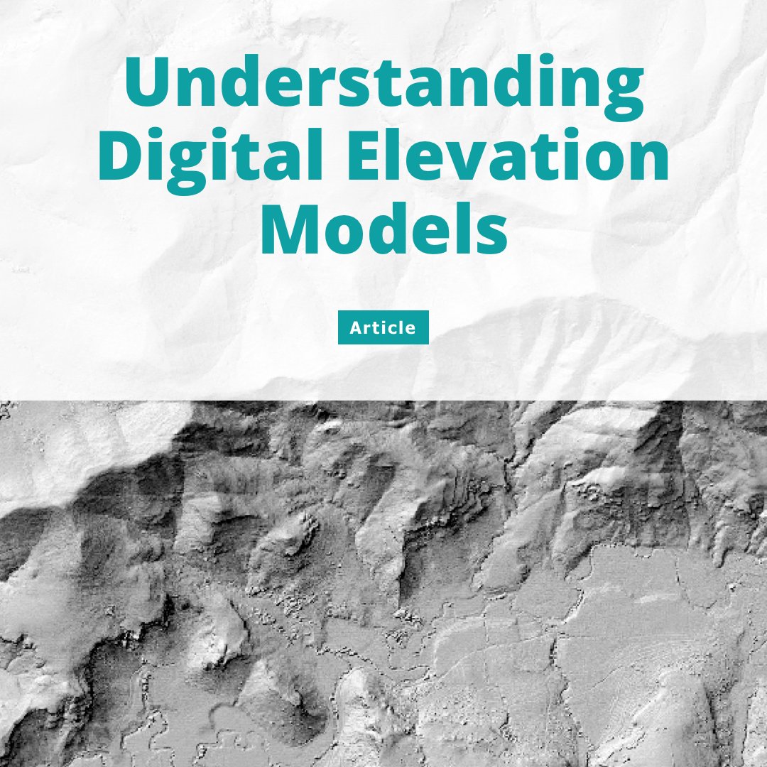
Want to learn more about Digital Elevation Models (DEMs) from the experts?. #Understanding #Definitive
0
1
1
🛰️ Spatial vs. Temporal Resolution – What’s the Difference? 🌍. High Spatial, Low Temporal → Detailed images but less frequent updates. Low Spatial, High Temporal → Frequent updates but lower image detail. #comparison #different

0
0
0
We believe in harnessing technology for a better future—but innovation means nothing without a healthy planet to support it. That’s why we’re joining #EarthHour2025 this Saturday, from 20:30 to 21:30, and we invite you to do the same!. #Earth #Innovation #technology

0
0
0
Explore the Garden Route Like Never Before! 🏞️. Our high res DEMs offer a detailed perspective. You can:.> Support Sustainable Development.> Improve Flood & Water Management.> Enhance Agricultural Planning.> Preserve Natural Beauty. #tech4nature #GardenRoute


0
0
0


📊 GeoSmart data is quality data. It can be used in an array of fields. For instance, our data can even help researchers in the fields of #ecology and #ornithology. 📫 Contact us to get your hands on this valuable #data. We'd love to help you with your latest project!

0
0
0
Contour intervals shape the way we interact with terrain. The right interval ensures that decision-makers see exactly what they #need. 🚀 This is powered by GeoSmart, delivering high-precision #Elevation #Data with intervals as fine as 50cm to support smarter planning.

0
0
0
Can we help farmers optimise their yield? 🌱 🚜 🌾 Absolutely!. If you want to read more about it, check out this info: #farmingland #YieldFarming


0
0
0
Did you know that 2 February was #WorldWetlandsDay? We have products that conservationists can use to protect this vital part of our ecosystem. Check it out:

0
0
0
🚀 A new year means new opportunities, and our team is ready to serve you in 2025! We’re here to make this year your best yet. Get in touch with us today! 🙌. #NewYear2025 #letsdothis

0
0
0
We're thrilled to hear that our high-quality data and service are helping our clients achieve their goals. It's always rewarding to know that our work makes a positive impact!. #BestOfTheBest #WeKnowOurStuff

0
0
0