

Daniel T. Dawson II
@Meteodan
Followers
1K
Following
16K
Media
1K
Statuses
7K
Associate Professor of Meteorology at Purdue University. Husband, father, and storm chaser. Nondenominational Christian. Insufferable centrist. Opinions my own.
West Lafayette, IN
Joined February 2012
Just awful. 😢

Official statement from the FAA: “A PSA Airlines Bombardier CRJ700 regional jet collided in midair with a Sikorsky H-60 helicopter while on approach to Runway 33 at Reagan Washington National Airport around 9 p.m. local time. PSA was operating Flight 5342 for American Airlines"
0
0
6

Behold the rarely seen giant New Mexican Pyrosupercell.

0
0
7
Quick reminder that the term "bomb cyclone" is not a new term, nor was it invented by the media - it's been in use since at least 1980 and used in academic literature to talk about storms that develop extremely rapidly: https://t.co/RSty3XpbRm
4
83
267
Thanks for your contribution! (And I just want to chase now, too!)
Big thanks to @tornatrix and @meteodan for organizing video night at #31SLS! Now I just want to chase! 🌩️🌪️
0
0
2
Great job @storm_spotter_K !

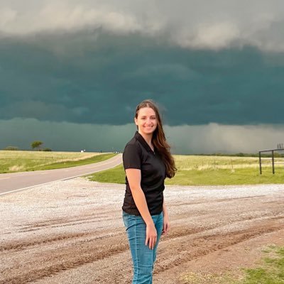
. @storm_spotter_K of @PurdueEAPS presents her talk at #31SLS on the sensitivity of severe storm mode to environments on the large-scale and their initiation morphologies.
0
0
5
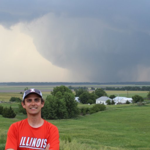
Very proud to have had the opportunity to present my M.S. work on handling the lower boundary in supercell storm simulations this morning at #31SLS! & thanks to everyone who woke up early to watch!! 🌩️
3
8
69
Nice viewing of the comet from the foothills west of Boulder tonight! A few unedited shots from my Canon 6D. Exposures range from 4-8 s with ISO 3200-6400 and a variety of focal lengths. Antitail clearly visible! Hope to do some better editing and stacking when I get a chance!
1
0
13
One other point about Milton - at *no* point was it forecast or expected to make landfall as a category 5 hurricane in Florida. Even when it *was* a category 5 hurricane near the Yucatan, its peak wind speeds were expected to decrease due to wind shear from a nearby trough.
12
47
684
Awesome visualization!

Milton's evolution visualized through infrared & visible satellite, US-based radar network, and recon flight wind & surface pressure data. Its extremely rapid intensification, pinhole eye, and subsequent extratropical transition & Florida tornado outbreak can be seen here:
0
1
2
Made it back to Boulder before my son turned into a pumpkin, and was greeted by this resurgent display:
0
0
17
Activity has quieted down quite a bit in the past half hour or so, but faint aurora are still visible all quads.
0
0
0
Near Hudson, Colorado about 40 minutes ago. Aurora visible even as n the southern sky!
1
1
13
Me eyeing high clouds approaching from the west and still an hour from sunset, let alone dark....
0
0
2

A glimpse at the watchfloor at @NHC_Atlantic at landfall. #Milton may be ashore, but @NWS forecasters are still tirelessly at their posts with a long night of hurricane impacts still to go across Florida.
1
0
9

830pm EDT Oct 9th: Doppler radar data indicates that the eye of #Hurricane #Milton has made landfall near Siesta Key in Sarasota County on the west coast of Florida. Max sustained winds at landfall are estimated at 120 mph. Landfall TCU: https://t.co/YUc7mT6LuJ
133
2K
5K

Hurricane models have advertised an area of strong winds developing on the backside of #Milton (likely due to interaction with the jet) and I think we might be seeing evidence of that on the Tampa radar now. Watch to see if this picks up in recon and radar data this evening.
10
62
361
When you see it, you can't unsee it. #NightmareFuel

The original skull face with #Matthew in 2016, and #Milton tonight Both are "M" storms Interesting that intense hurricanes can be conducive to having that structure
1
0
4

1-minute #GOESEast Infrared images showed Hurricane #Milton as it remained at Category 5 intensity during the past 5 hours. GLM-detected #lightning activity persisted within the inner eyewall of Milton.
3
24
67