TerraDat 3D Imaging
@getmapping
Followers
589
Following
8
Media
68
Statuses
168
Supplier of Topcon laser scanning instruments and specalised monitoring.
Wales, UK
Joined May 2009
We just published an article on our #laserscanning workflow with @TopconGB_IRE Magnet Collage
0
2
6
It was interesting seeing roped up guys cleaning the roof of the @theCentre in Cardiff yesterday, but cool to see how our @TopconGLS2000 #laserscanner picked the men up from different stations!
2
2
6
An early morning #360 shoot for @village_hotels Business Club & conference facilities to enable their customers to virtually check out the excellent facilities. @insta360 #vr #realitycapture
0
0
5
It’s coming. @InsideIntergeo is nearly here. Check out this #throwbackThursday from one of my button pushers @getmapping
https://t.co/rVXLKlI9zR
#Köln2010 #Frankfurt2018
0
1
1

In a cave helping take @TopconGLS2000 to the next level, very surreal with music, water drops and cave dwellers as the only other companions. #ff @getmapping #control try levelling with one hand :-) #getTilted #dadjokes #punny #dontGetSpooked
1
1
4
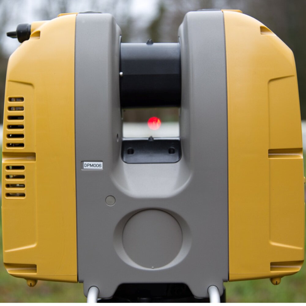
Yesterday we carried out a night shift #laserscanning @kents_cavern to generate its first high accuracy 3D survey. Fascinating #realitycapture of archaeology and geology in high definition. @TopconGLS2000 @terradat
1
1
7
We recently completed a complex scan of a Bradley Pulverizer plant near Bristol. The wireless ability of our @TopconGLS2000 enabled full coverage and Collage software registered the clouds in record time. The client now has a point cloud to base CAD design on. #laserscanning
0
3
7
Testing the new high-power road scanning modes of @TopconGLS2000 and getting grief for looking like a traffic cop... Blog article with the results soon! #laserscanning
https://t.co/cQTIl9KBq0
1
0
3
Successful completion of rail bridge 3D survey using #laserscanning and #drone #photogrammetry with our friends from @weareruas. @topcongls2000
https://t.co/T03TkCVBe2
0
4
8
0
0
3
Great collaboration with @GwaliaSurveyors mapping Coastal defences in South Wales. #geophysics #lidar
0
0
9
0
3
4
Great to see our @GwaliaSurveyors friends having fun in New York #laserscanning with @TopconGLS2000 #bim #smartcities #lidar
1
0
2
We're exhibiting at #digitalpast2017 in Newport today! Check it out virtually if you can't come! https://t.co/LFf7sjt9pO
0
0
2
0
1
0
Connecting field and office for maximum productivity #bim #laserscanning @TopconGLS2000
https://t.co/UZmp31ZLQF via youtube
0
3
3
Fantastic to meet so many interesting people at @CRealityForum Forum this week. #CapturingReality - see you next year!
0
1
2

Anyone using #Topcon Imagemaster who purchased it from us may find our technical forum of use
0
1
0